
2nd Avenue in Invermere, British Columbia
2nd Avenue in Invermere is a two-lane residential street. It runs in a north-south direction starting from 4th Avenue and crosses Lakeview Lane, 16th Street, 17th Street and 18th Street and ends at 3rd Avenue. 2nd Avenue also exists in Fernie, Sparwood and Kimberley.
- Road Type
- residential street
- Lanes
- 2
- Route
- north-south
Image
Game shops
Bus stops
Petrol stations
Restaurants
Shoe shops
Museum
- Windermere Valley Museum (opening hours: 10–16, web) at 6th avenue 222 (V0A 1K0) – approx. 1,4 km.
Bar
Pubs
Electronics shops
Library
Hostel
Roads nearby
Lakeview Lane50 m
3rd Avenue100 m
16th Street100 m
1A Avenue150 m
17th Street250 m
4th Avenue350 m
18th Street350 m
14th Street400 m
Beach Drive450 m
14A Crescent500 m
7A Avenue500 m
15th Street600 m
13th StreetThe Source
650 m
7th AvenueSafta's, Main Street Fun and Games, Summit Footwear
650 m
5th Avenue700 m
Lakeview Road750 m
12th Street850 m
8th AvenueInvermere
850 m
6th AvenueThe Station, The Station Neighborhood Pub
850 m
9th Avenue850 m
10th Street900 m
9th Street950 m
Banks nearby
BMO650 m
CIBC650 m
Bars nearby
Ullr Bar750 m
Beaches nearby
Kinsmen Beach500 m
Body of waters nearby
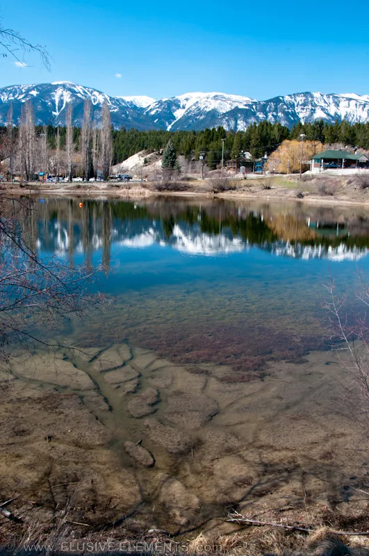
Dorothy Lake350 m
Buildings nearby
Pynelogs Cultural Centre400 m
Butcher's nearby
Konig Meat and Sausage Company700 m
Clothing shops nearby
Shopping Stores700 m
Community centres nearby
Legion Local Branch 71 Windermere District550 m
Department stores nearby
Fields550 m
Doctor's practice nearby
Invermere Medical Clinic900 m
Hotels nearby
Invermere Inn & Suites650 m
Ice cream parlours nearby
Gerry's Gelati750 m
Motel nearby
The Canterbury Inn of Downtown Invermere750 m
Off-licences nearby
BC Liquor Store550 m
Pharmacies nearby
Lambert-Kipp Pharmacy600 m
Post offices nearby
Invermere800 m
Pubs nearby
Copper City650 m
Residential buildings nearby
Heron Point Condos400 m
Restaurants nearby
The Bistro on 7th Ave700 m
Birchwood700 m
China Town900 m
Rivers nearby
Columbia River700 m
Sports centres nearby
Lake Windermere Rowing Club500 m
Eddie Mountain Memorial Arena550 m
Fitness Centre700 m
Town halls nearby
District of Invermere Municipal Hall950 m
 Public transport map Invermere Legend
| Railway | |
| Bus | |
| Tram |
 Cycling map Invermere Legend
| Cycle path | |
| Cycle lane on road | |
| Cycling on bus lane | |
| Bicycle street | |
| Cyclists allowed | |
| Cyclists allowed, good surface | |
| No cycling | |
| Cobblestones |
| Long-distance cycle route | (depending on scale) | |
| Long-distance cycle route |
 Walking map Invermere Legend
| Path |
| Long-distance hiking trail | (depending on scale) | |
| Long-distance hiking trail | ||
| No pedestrians |