
Fourth Avenue in Invermere, British Columbia
Fourth Avenue in Invermere is a two-lane residential street. It runs in a north-south direction starting from Borden Street and crosses Blair Street, Sifton Street, Cartwright Street and Laurier Street. In the vicinity, there is a hostel. Fourth Avenue also exists in Squamish-Lillooet Regional District, Metro Vancouver Regional District, Fraser Valley Regional District, Regional District of Kootenay Boundary and Thompson-Nicola Regional District.
- Road Type
- residential street
- Lanes
- 2
- Route
- north-south
Image
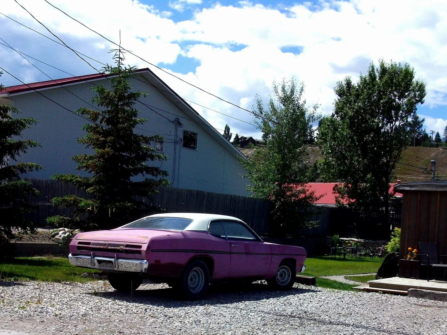
Hostel
Roads nearby
Cartwright Street50 m
Laurier StreetWindermere Valley Museum, Invermere Public Library, Petro-Canada
100 m
Sifton Street200 m
Third Avenue200 m
Blair Street200 m
Fifth Avenue250 m
Panorama Drive250 m
Industrial 1 Road300 m
7th AvenueSafta's, Main Street Fun and Games, Summit Footwear
300 m
Borden Street300 m
1st Street300 m
Second Avenue350 m
Mulock Street400 m
Tarte Street450 m
First Street450 m
3rd Avenue500 m
11th Avenue600 m
4th StreetInvermere: Sobey's
600 m
12th Avenue650 m
12A Avenue650 m
Industrial 2 Road700 m
2nd Street750 m
6th Street750 m
4th Avenue800 m
5th Street800 m
10th Avenue850 m
Eagle Summit850 m
9th Street900 m
Industrial 3 Road950 m
13th Avenue950 m
9th Avenue950 m
Eagle Ranch Trail1000 m
Eagle Ridge1000 m
7th Street1000 m
Toby Creek Road1,0 km
6th AvenueThe Station, The Station Neighborhood Pub
1,0 km
10th Street1,1 km
Buildings nearby
Invermere Community Centre600 m
Chisel Peak clinic750 m
Car repair shops nearby
Mechanic700 m
Doctor's practice nearby
Invermere Medical Clinic1,0 km
Fast food restaurants nearby
A&W200 m
Fitness centres nearby
YPC- Your Personal Connection350 m
Nature reserves nearby
James Chabot Provincial Park600 m
Parks nearby
Pothole Park900 m
Restaurants nearby
China Town1,0 km
Rivers nearby
Columbia River800 m
Supermarkets nearby
Sobeys650 m
Other nearby
Invermere (Hospital) Heliport1000 m
 Public transport map Invermere Legend
| Railway | |
| Bus | |
| Tram |
 Cycling map Invermere Legend
| Cycle path | |
| Cycle lane on road | |
| Cycling on bus lane | |
| Bicycle street | |
| Cyclists allowed | |
| Cyclists allowed, good surface | |
| No cycling | |
| Cobblestones |
| Long-distance cycle route | (depending on scale) | |
| Long-distance cycle route |
 Walking map Invermere Legend
| Path |
| Long-distance hiking trail | (depending on scale) | |
| Long-distance hiking trail | ||
| No pedestrians |