
Area E (Beaverdell/West Boundary), British Columbia
Area E (Beaverdell/West Boundary) is located in Regional District of Kootenay Boundary. Area E (Beaverdell/West Boundary) has around 2.250 streets. Among other things, Area E (Beaverdell/West Boundary) has restaurants, cafés, attractions and banks.
Photos from Area E (Beaverdell/West Boundary)
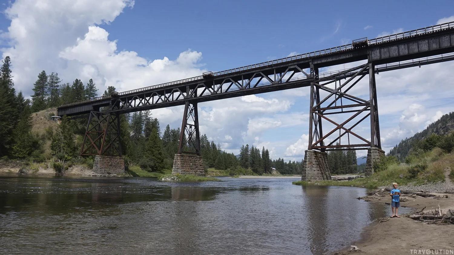
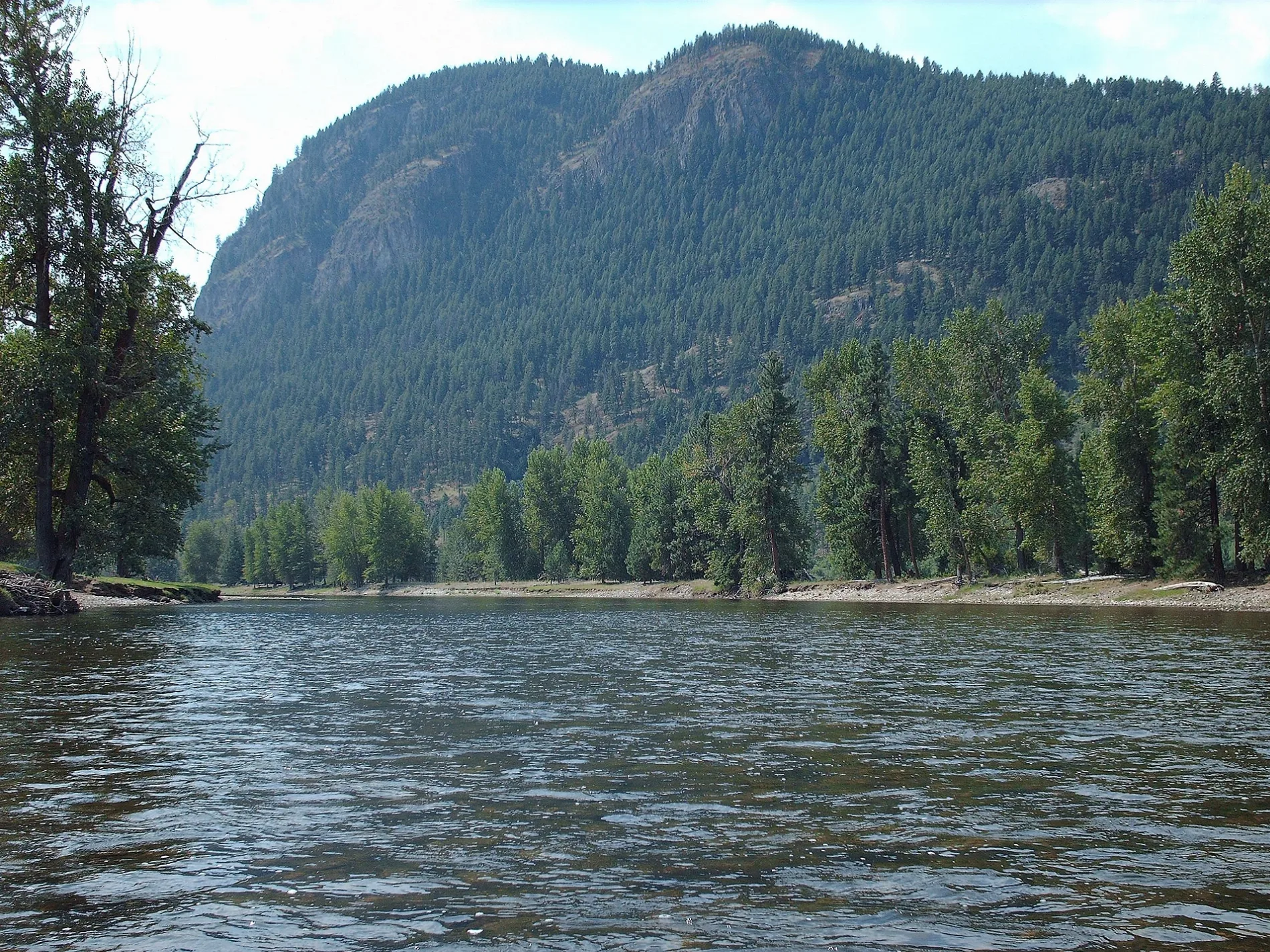
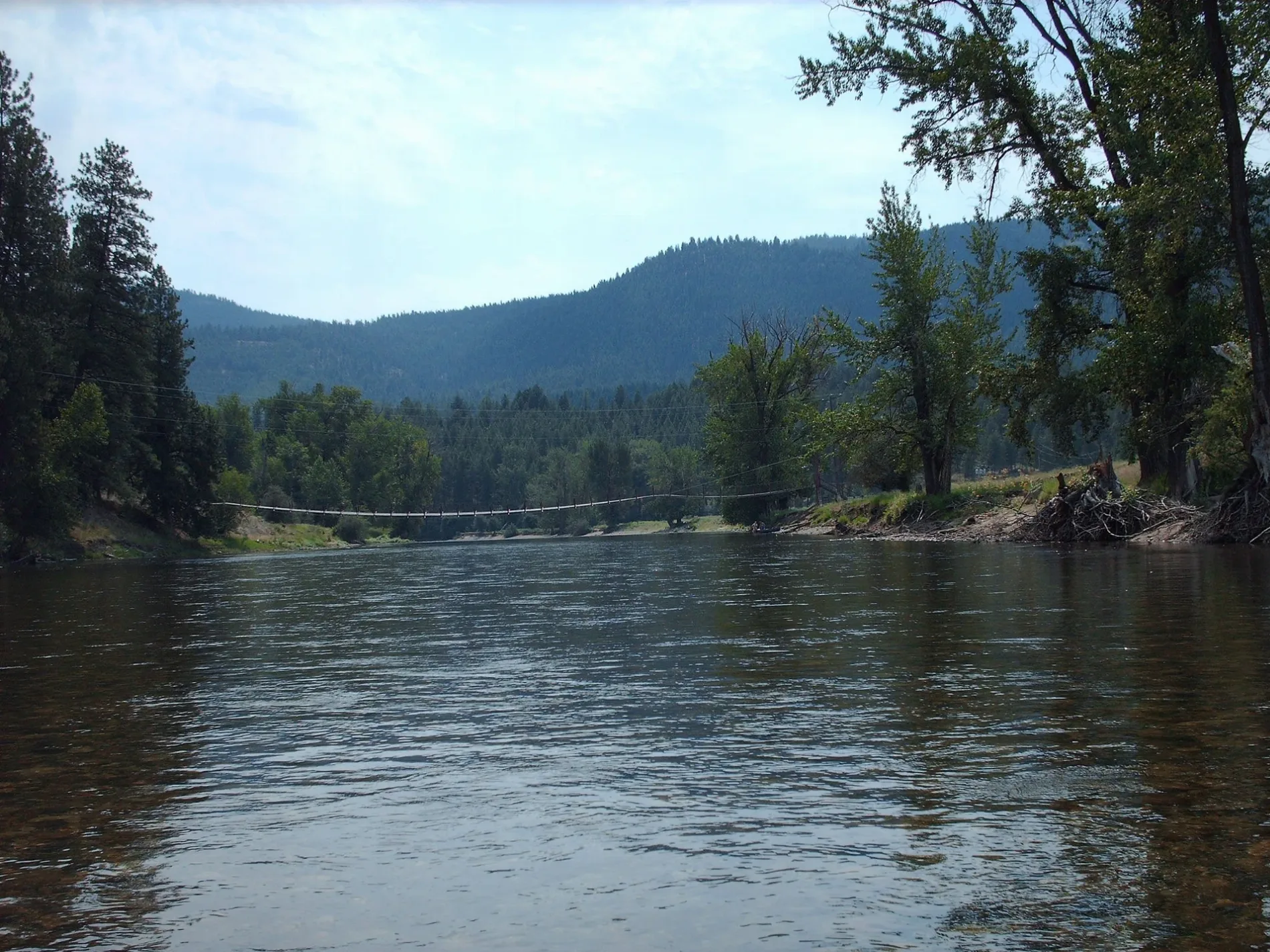
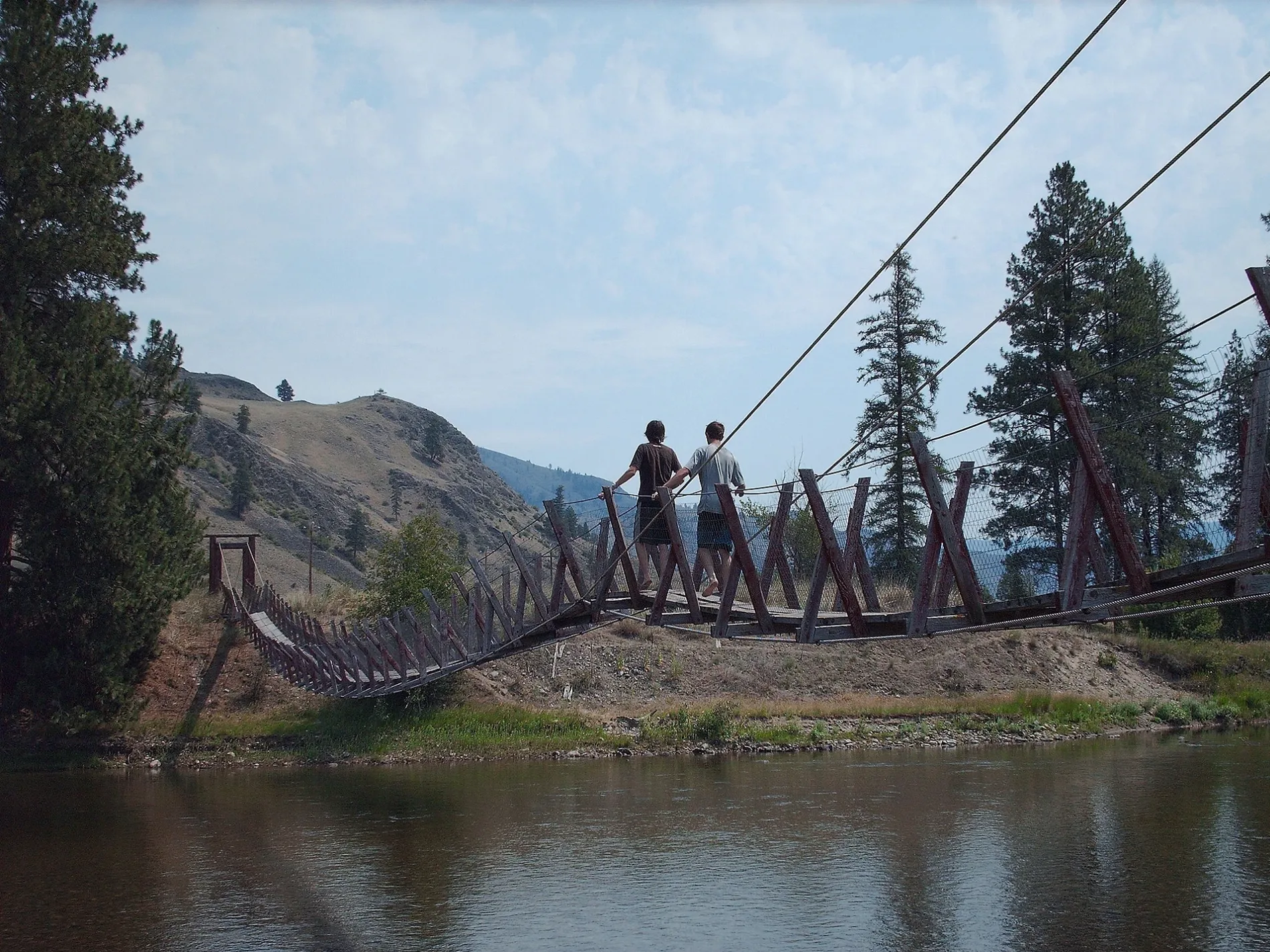
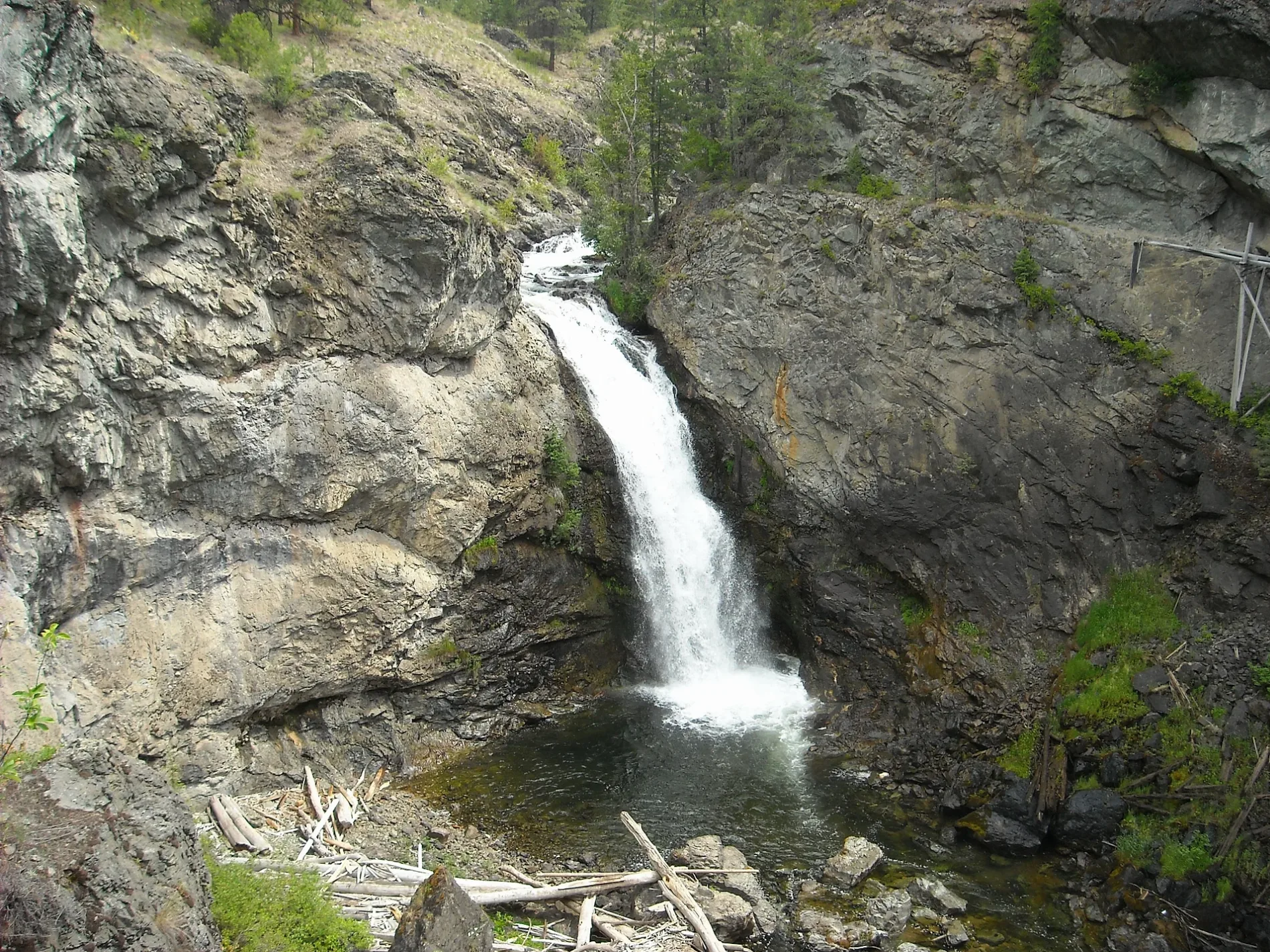
Roads in Area E (Beaverdell/West Boundary), British Columbia
Roads
Crowsnest Highway
Boundary Creek Provincial Campground, Su Casa Mexican Cafe, Nuessli Mountain, Summit RV Park, Rock Creek Centre Convenience, Rags, Relics & Rutabagas, Rock Creek, Tunnel of Flags, Cascadia Credit Union
Big White RoadTea Bar Cafe, RDKB Waste Transfer Station & Recycling Depot, Big White Kids center. Daycare, Black diamond, The Market at Big White
BC-33Beaverdell, AFD
Blythe-Rhone RoadCyclist Rest, Little Dipper Campground
Kettle Valley Rail TrailKettle Creek Campground Map, Arlington Lake Campground
Okanagan Highland TrailHighlands Trail Parking
Easy SteezyBull Wheel
Mulhern RoadSun Valley
3rd StreetHighland Cabins
Beaverdell Station RoadBeaverdell General Store
Paradise RoadRaven's Inn
Kallis Creek Forest Service RoadKallis Car Park
Ernest AvenueBeaverdell RV Park & Campgrounds
Baldy Babe's TrailGillie's Hut
Columbia & Western Rail TrailEholt, Kettle River Museum
Edstrom RoadRock Creek Station (incl. General Store)
Sanders RoadGrouseridge B&B
George Drive
Desmazes Road
Carmi W. Link
Bridge Run Snowshoe Trail
Hall Creek Rest Area
Wapiti Creek Forest Service Road
Sutherland Avenue
Boundry Link F S R
Backcountry Connector
Grabndview Mine
Bubar Creek Road
Johnson Road
Bumble Bee
Wallace Mountain Road
Wallace Creek Forest Service Road
Monashee Way
Jubilee Street
Camp McKinney
Jolly Jack Road
Helo's Hop Snowshoe Trail
Trillium
Ingram Creek Forest Service Road
Boltz Road
Fiva Creek Road
Nevertouch Lake F S R
Gidon Creek Forest Service Road
Taylor Way
Kelly River Road
Frome Road
Rocket Science
McKay Road
Wild Horse Creek Forest Service Road
Shaw Road
South Wallace Cr Rd
Washington
Crooked Dogs
Old Nicholson Creek Road
McGarren 800 Forest Service Road
SquirtsBody of waters
Buildings
Fire stations
Houses
Meadows
Nature reserves
Ridges
Wilderness huts
 Public transport map Area E (Beaverdell/West Boundary) Legend
| Railway | |
| Bus | |
| Tram |
 Cycling map Area E (Beaverdell/West Boundary) Legend
| Cycle path | |
| Cycle lane on road | |
| Cycling on bus lane | |
| Bicycle street | |
| Cyclists allowed | |
| Cyclists allowed, good surface | |
| No cycling | |
| Cobblestones |
| Long-distance cycle route | (depending on scale) | |
| Long-distance cycle route |
 Walking map Area E (Beaverdell/West Boundary) Legend
| Path |
| Long-distance hiking trail | (depending on scale) | |
| Long-distance hiking trail | ||
| No pedestrians |