
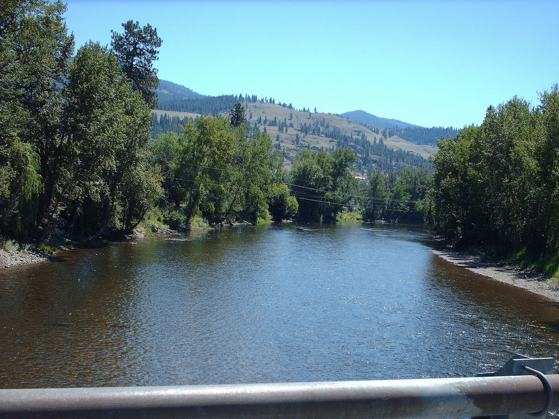
Gertrude Street in Midway, British Columbia
Gertrude Street in Midway is a two-lane, asphalted residential street. It runs in a north-south direction starting from Crowsnest Highway and crosses Palmerston Avenue, Hatton Avenue, Ninth Avenue, Eighth Avenue, Seventh Avenue, Sixth Avenue, Fifth Avenue and Hartland Avenue and continues into Fourth Avenue.
- Road Type
- residential street
- Lanes
- 2
- Route
- north-south
Image
Tourist information offices
Restaurants
Roads nearby
Chamblet Street150 m
Fifth Avenue200 m
Hartland Avenue250 m
Eighth AvenueMidway, The Keg and Kettle Grill
250 m
Seventh Avenue300 m
Ninth AvenueMcMynn's Family Foods
300 m
Fourth Avenue350 m
Florence Street350 m
Hatton Avenue350 m
Sixth AvenueMidway Public Library
400 m
Jesalin Street400 m
Eholt Street400 m
Central Avenue400 m
Haynes Street450 m
Border Place500 m
Palmerston Avenue550 m
Lyall Street550 m
Dawson Street600 m
Cemetery Road600 m
Cleghorn Street700 m
Boltz Avenue800 m
Boundary Avenue800 m
Crowsnest HighwayMidway - Mile 0 of the Kettle Valley Railway
850 m
Beamish Street900 m
Thomet Avenue950 m
Twelfth Avenue1,0 km
Dominion StreetPort of Entry - Midway
1,0 km
Adams Street1,0 km
Division Street1,1 km
Customs RoadPort of Entry - Ferry
1,1 km
Sunnyside Lane1,3 km
Blue Trail1,5 km
Nichols Street1,5 km
Green Trail1,6 km
Thirteenth Avenue1,6 km
Abandoned railways nearby
Curlew to Molson750 m
Buildings nearby
Midway Village Office450 m
townhall500 m
Canada Border Services Agency - Midway1,1 km
United States Customs and Border Protection - Ferry Port of Entry1,2 km
Campsite nearby
Frank Carpenter Memorial Campground650 m
Cemeteries nearby
Midway Cemetery950 m
Convenience stores nearby
The Spot In Midway450 m
Motel nearby
Mile Zero Motel500 m
Parks nearby
Midway Biking & Hiking Trails650 m
Police stations nearby
Midway RCMP300 m
Residential areas nearby
Midway Mobile Home & RV Park1,5 km
Other nearby
BC-Ferry County Border800 m
Midway Airport800 m
Public transport map Midway Legend
| Railway | |
| Bus | |
| Tram |
Cycling map Midway Legend
| Cycle path | |
| Cycle lane on road | |
| Cycling on bus lane | |
| Bicycle street | |
| Cyclists allowed | |
| Cyclists allowed, good surface | |
| No cycling | |
| Cobblestones |
| Long-distance cycle route | (depending on scale) | |
| Long-distance cycle route |
Walking map Midway Legend
| Path |
| Long-distance hiking trail | (depending on scale) | |
| Long-distance hiking trail | ||
| No pedestrians |