
Dominion Street in Midway, British Columbia
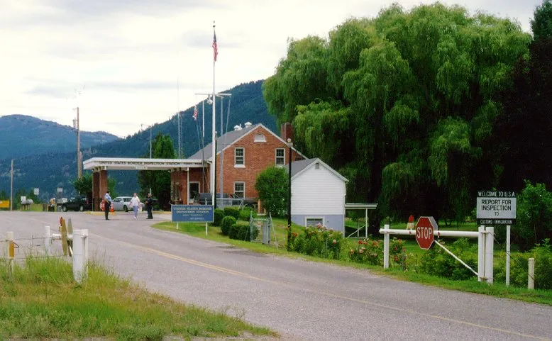
Dominion Street in Midway is a two-lane secondary road (50 km/h). It runs in a southeast-northwest direction starting from Fifth Avenue and crosses Hartland Avenue, Lyall Street, Thomet Avenue, Boundary Avenue and Boltz Avenue. Dominion Street also exists in Metro Vancouver Regional District, Thompson-Nicola Regional District, Regional District of Bulkley-Nechako and Regional District of Fraser-Fort George.
- Road Type
- secondary road
- Lanes
- 2
- Speed Limit
- 50
- Route
- southeast-northwest
Image
Library
Restaurants
Roads nearby
Customs RoadPort of Entry - Ferry
200 m
Boundary Avenue300 m
Boltz Avenue300 m
Thomet Avenue400 m
Lyall Street500 m
Fourth Avenue500 m
Jesalin Street700 m
Haynes Street750 m
Fifth Avenue900 m
Hartland Avenue1000 m
Gertrude Street1,0 km
Border Place1,0 km
Central Avenue1,1 km
Chamblet Street1,1 km
Cemetery Road1,2 km
Ninth AvenueMcMynn's Family Foods
1,2 km
Border Road1,2 km
Eighth AvenueMidway, The Keg and Kettle Grill
1,2 km
Hatton Avenue1,3 km
Seventh Avenue1,3 km
Sixth AvenueMidway Public Library
1,3 km
Florence Street1,4 km
Eholt Street1,4 km
Dawson Street1,4 km
Palmerston Avenue1,6 km
Cleghorn Street1,7 km
Crowsnest HighwayMidway - Mile 0 of the Kettle Valley Railway
1,9 km
Beamish Street1,9 km
Evergreen Drive1,9 km
Twelfth Avenue2,0 km
Adams Street2,1 km
White Mountain Road2,1 km
Norwegian Creek Road2,2 km
Pine Creek Lane2,2 km
Snow Queen Lane2,4 km
Columbia & Western Rail TrailKettle River Museum, Eholt
2,4 km
Abandoned railways nearby
Curlew to Molson800 m
Buildings nearby
Canada Border Services Agency - Midway100 m
United States Customs and Border Protection - Ferry Port of Entry200 m
townhall1,4 km
Midway Village Office1,4 km
Campsite nearby
Frank Carpenter Memorial Campground1,5 km
Cemeteries nearby
Midway Cemetery750 m
Convenience stores nearby
The Spot In Midway1,4 km
Motel nearby
Mile Zero Motel1,5 km
Parks nearby
Midway Biking & Hiking Trails1,3 km
Police stations nearby
Midway RCMP1,3 km
Other nearby
BC-Ferry County Border700 m
Midway Airport1,8 km
 Public transport map Midway Legend
| Railway | |
| Bus | |
| Tram |
 Cycling map Midway Legend
| Cycle path | |
| Cycle lane on road | |
| Cycling on bus lane | |
| Bicycle street | |
| Cyclists allowed | |
| Cyclists allowed, good surface | |
| No cycling | |
| Cobblestones |
| Long-distance cycle route | (depending on scale) | |
| Long-distance cycle route |
 Walking map Midway Legend
| Path |
| Long-distance hiking trail | (depending on scale) | |
| Long-distance hiking trail | ||
| No pedestrians |