
Area B (Quatsino Sound/Cape Scott), British Columbia
Area B (Quatsino Sound/Cape Scott) is located in Regional District of Mount Waddington. Area B (Quatsino Sound/Cape Scott) has around 2.261 streets. Among other things, Area B (Quatsino Sound/Cape Scott) has hotels and museums.
Photos from Area B (Quatsino Sound/Cape Scott)
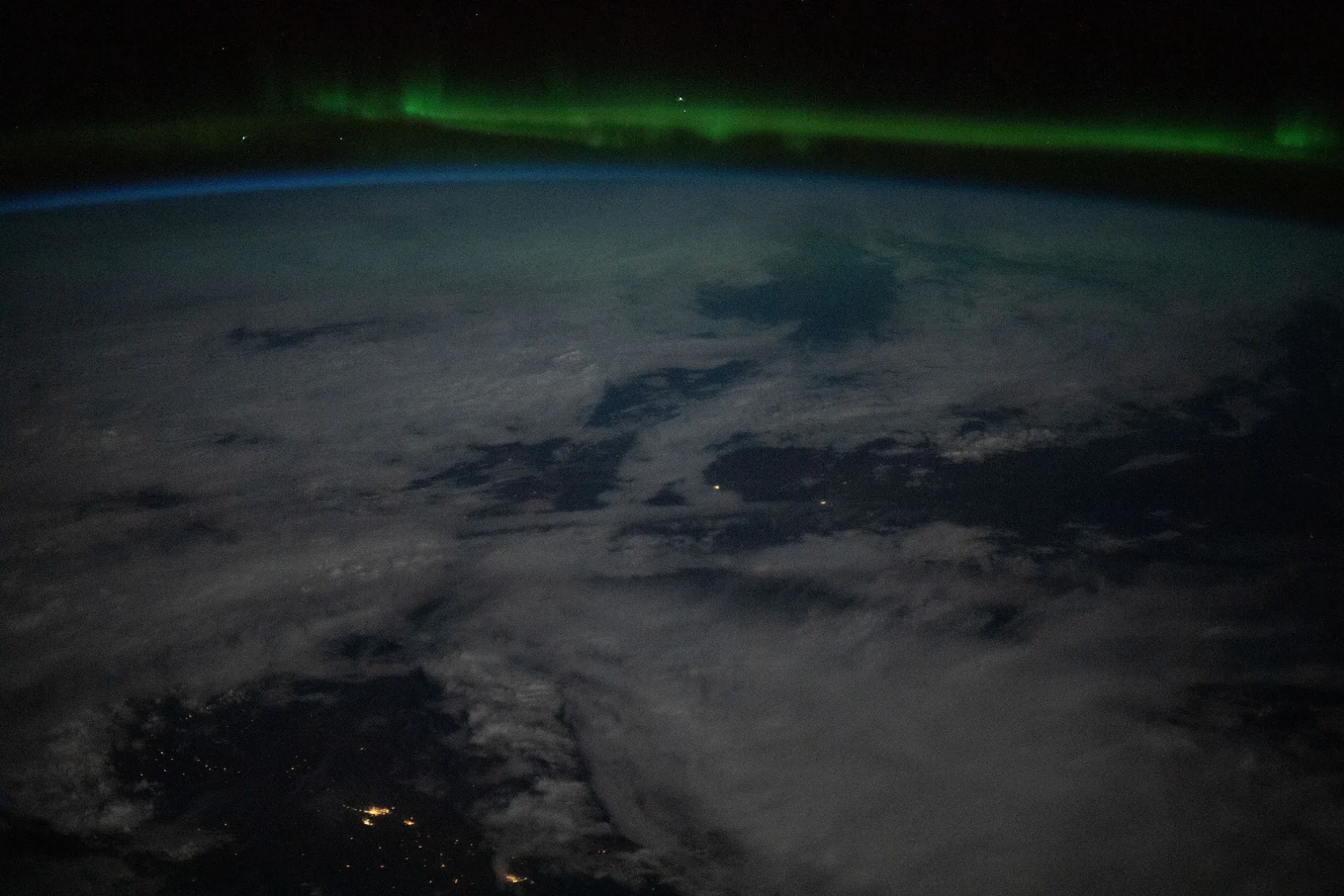
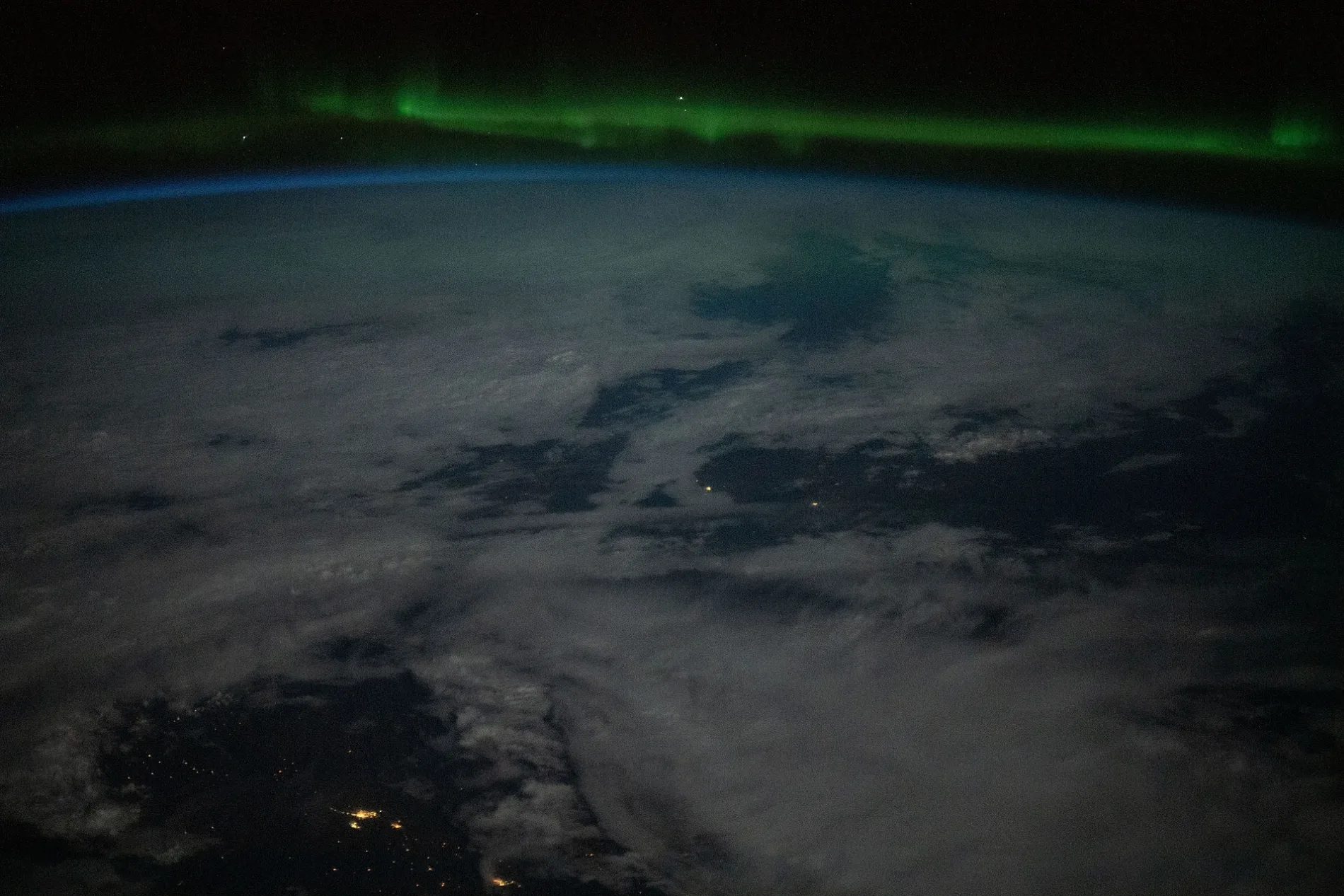
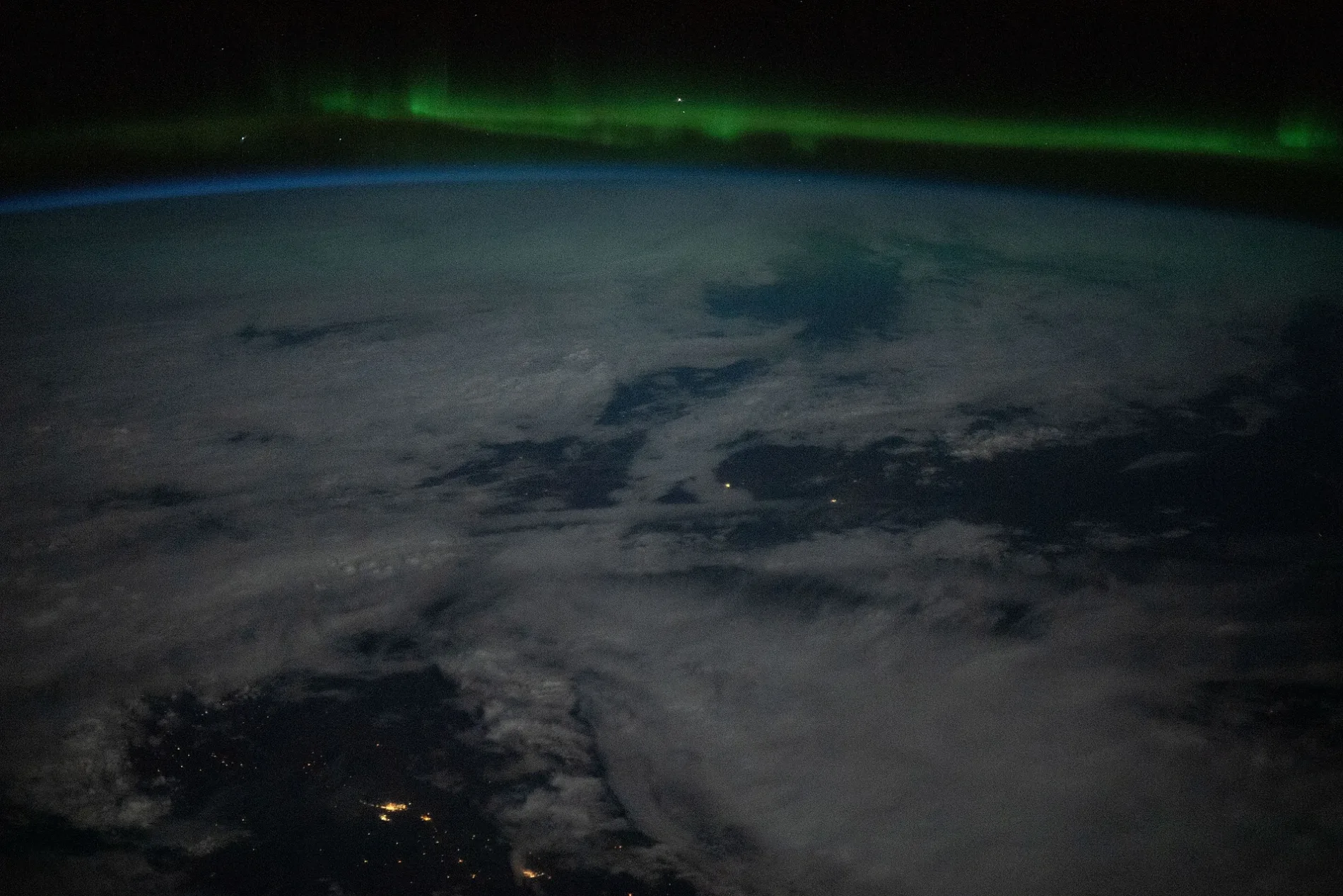
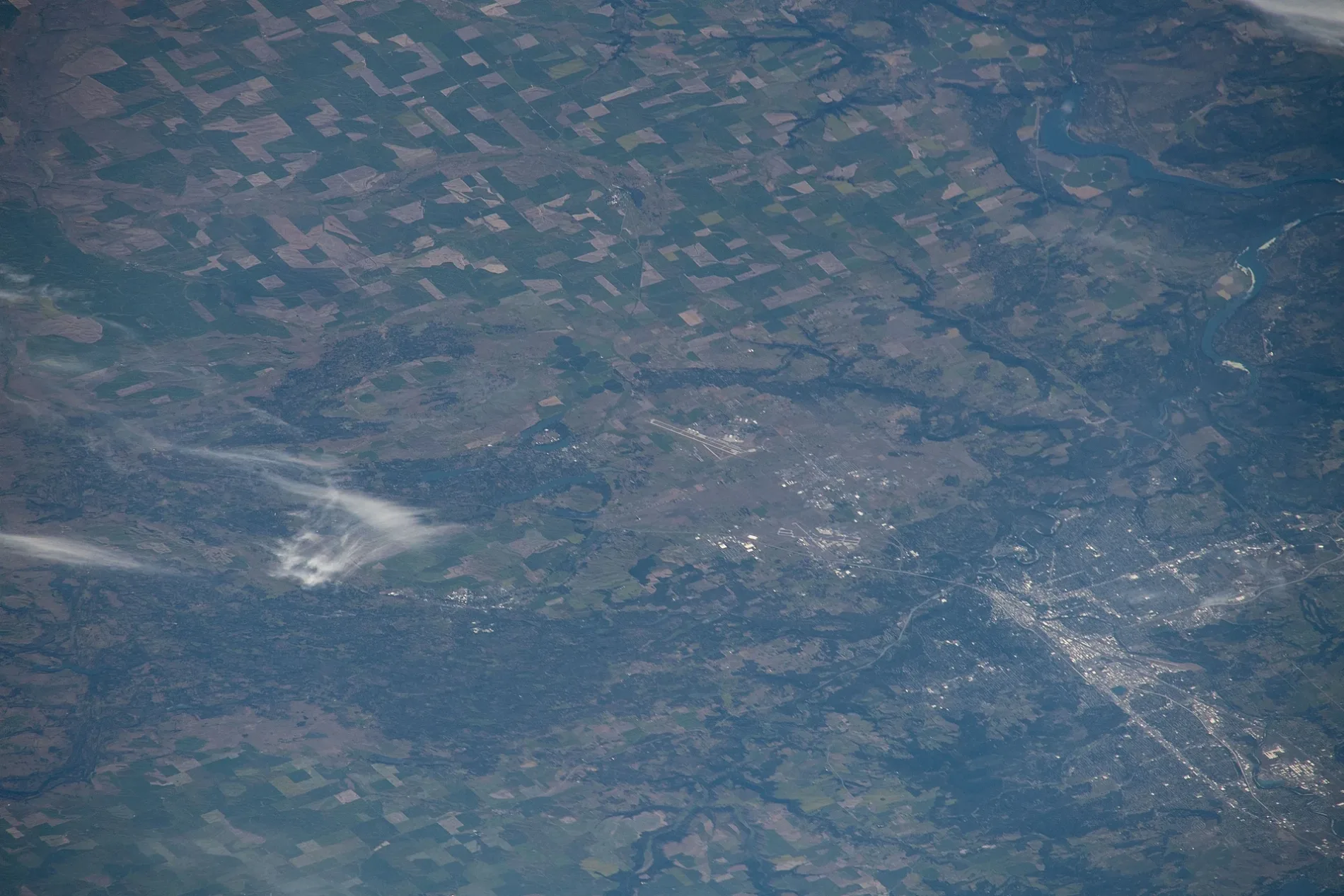
Area B (Quatsino Sound/Cape Scott)
This page is the City map of Area B (Quatsino Sound/Cape Scott) in the Regional District of Mount Waddington, British Columbia, Canada. The map shows roads, paths and places across the remote west and north coast of Vancouver Island, including the waterways of Quatsino Sound and the coastal area around Cape Scott. Quatsino Sound extends inland from the Pacific coast west of northern Vancouver Island, while Cape Scott marks the island’s northwestern extremity. The area also includes the coastal landscape associated with Cape Scott Provincial Park and the exposed Pacific shoreline beyond the communities of Port Hardy and Port McNeill.
Data sources: OpenStreetMap (ODbL), Wikidata (CC0)
Roads in Area B (Quatsino Sound/Cape Scott), British Columbia
Roads
Nature
Body of waters
Industrial areas
Nature reserves
Parks
Rivers
| Railway | |
| Bus | |
| Tram |
| Cycle path | |
| Cycle lane on road | |
| Cycling on bus lane | |
| Bicycle street | |
| Cyclists allowed | |
| Cyclists allowed, good surface | |
| No cycling | |
| Cobblestones |
| Long-distance cycle route | (depending on scale) | |
| Long-distance cycle route |
| Path |
| Long-distance hiking trail | (depending on scale) | |
| Long-distance hiking trail | ||
| No pedestrians |