
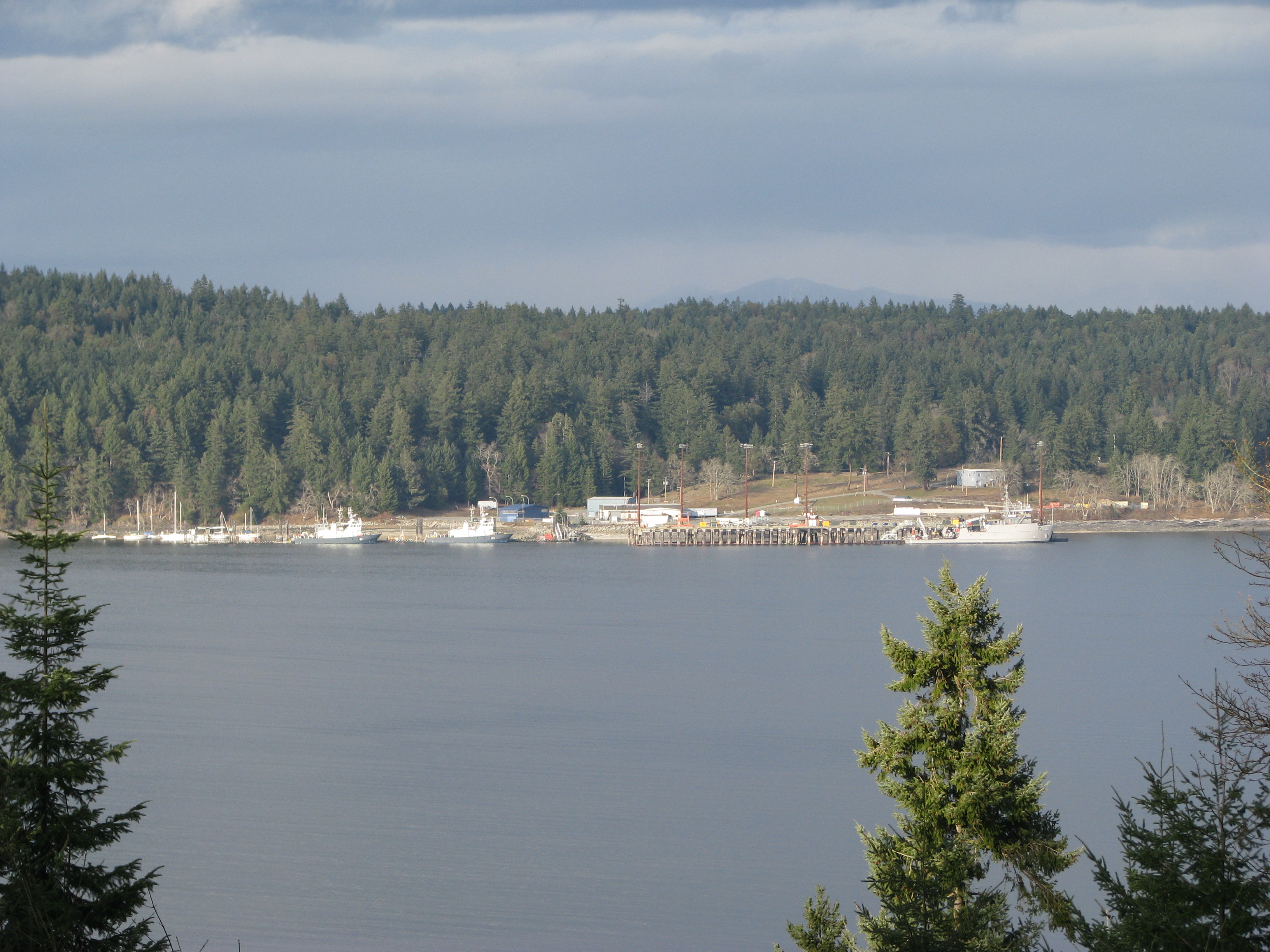
Nanoose Rest Area in Area E (Nanoose Bay), British Columbia
Nanoose Rest Area in Area E (Nanoose Bay) is a rest area.
- Road Type
- rest area
Image
Petrol stations
Supermarkets
Off-licences
Bank
Bus stops
Tourist information offices
Viewpoint
Pubs
Post offices
Pharmacy
Roads nearby
Shooting Star Place700 m
Hillview Road900 m
Sea Blush Drive950 m
Wild Rose Boulevard1,0 km
East Island HighwayBC Ferries - Current Conditions, Big Boy's Toys, Island Hwy N at Capilano (EB), Red Gap, Island Hwy E at Hillview (EB), Island Hwy E at Summerset (EB), Island Hwy E at Morello Rd (SB), Island Hwy E 2320 block (WB), Island Hwy N at Mallard Way (WB), Petro-Canada
1,1 km
Skyview Road1,2 km
White Heather Lane1,5 km
Noble Road1,8 km
Lisa Lane1,9 km
Nanoose Beach Road2,0 km
Richard Place2,0 km
Arlington Road2,0 km
Summerset Road2,1 km
Lantzville Lookout TrailLantzville Lookout
2,1 km
Sundew Place2,1 km
Parker Way2,1 km
Teds Road2,1 km
Nanoose Station Road2,2 km
Rumming Road2,2 km
Weeks Road2,3 km
Blokker Road2,3 km
Fawn Drive2,4 km
Parker Road East2,4 km
Bayview Park Drive2,4 km
Marine Drive2,5 km
Spruce Lane2,5 km
Arbutus Crescent2,5 km
Rowland Road2,5 km
Powder Point Road2,5 km
Garry Oak Drive2,5 km
Chain Way2,6 km
Link Place2,6 km
Balsam Crescent2,7 km
Hemlock Drive2,7 km
Anchor Way2,7 km
Notch Hill Lower Trail2,8 km
Mate Place2,8 km
Fairwinds Drive3,0 km
Community centres nearby
Nanoose Place Community Centre2,7 km
Disused railways nearby
Southern Railway of Vancouver Island2,3 km
Off-licences nearby
Arlington Inn Motel & Pub2,1 km
Parks nearby
Arbutus Grove Community Park1,3 km
Rumming Road Community Park2,0 km
Rowland Road Community Park2,0 km
Richard Place Community Park2,1 km
Jack Bagley Community Park2,7 km
Southwind Park2,7 km
Powder Point Community Park2,8 km
Summer camps nearby
Nanoose Bay Camp1,8 km
Public transport map Area E (Nanoose Bay) Legend
| Railway | |
| Bus | |
| Tram |
Cycling map Area E (Nanoose Bay) Legend
| Cycle path | |
| Cycle lane on road | |
| Cycling on bus lane | |
| Bicycle street | |
| Cyclists allowed | |
| Cyclists allowed, good surface | |
| No cycling | |
| Cobblestones |
| Long-distance cycle route | (depending on scale) | |
| Long-distance cycle route |
Walking map Area E (Nanoose Bay) Legend
| Path |
| Long-distance hiking trail | (depending on scale) | |
| Long-distance hiking trail | ||
| No pedestrians |