
Pineridge Place in Spallumcheen, British Columbia
Pineridge Place in Spallumcheen is a two-lane, unpaved residential street. It runs in an east-west direction and ends at Pineridge Road, while the other end is a cul-de-sac. Pineridge Place also exists in Regional District of Central Okanagan.
- Road Type
- residential street
- Lanes
- 2
- Route
- east-west
Image
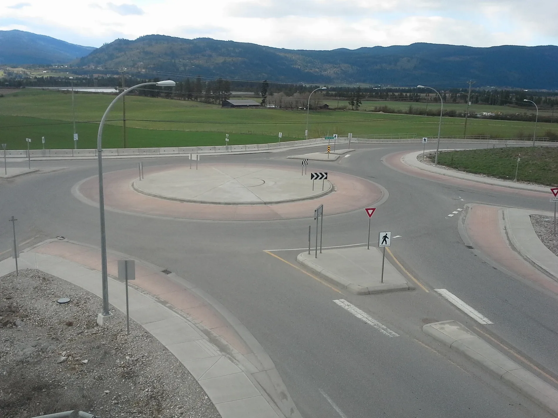
Car repair shops
Bus stops
Attraction
Viewpoint
Petrol stations
Roads nearby
Larkin Cross RoadLarkin
250 m
Larkin Place250 m
Vernon-Sicamous HighwayHwy 97A at Creamery (WB), Hwy 97A at Creamery (EB)
400 m
Pineridge Road500 m
Hutley Road South500 m
Otter Lake Cross Road700 m
Hutley Road North1,0 km
Raffan Road1,3 km
Cedar Lane1,6 km
Mountain Way1,7 km
Clinton Road1,9 km
Head Road1,9 km
Coyote Loop2,1 km
White Tail Wander2,3 km
Thomas Hayes Road2,3 km
Chipmunk Cutoff2,4 km
Chickadee Way2,5 km
Industrial Drive2,5 km
Udy Place2,6 km
Access Easement2,6 km
Otter LookoutOtter Lake Lookout
2,6 km
Serene Drive2,6 km
Palisades Place2,9 km
Birch Drive2,9 km
Spallumcheen DriveSpallumcheen
2,9 km
Pleasant Valley RoadHwy 97A at Spallumcheen (NB), Pleasant Valley at Palisades (EB)
3,0 km
Highway 97AA&W, Starbucks
3,0 km
Spallumcheen WaySpallumcheen
3,0 km
Spallumcheen Place3,1 km
Otter Lake Road3,2 km
Corkscrew Road3,3 km
Crozier Road3,3 km
Greenhow Road3,5 km
Hales Road3,7 km
Stepping Stones Road3,8 km
Ridgeview Road3,9 km
Mendenhall Road4,0 km
L and A Cross Road4,0 km
McLennan Road4,0 km
Body of waters nearby
Otter Lake3,1 km
Buildings nearby
Rogers Foods550 m
Snowcap Interior Food Services3,0 km
Canals nearby
Deep Creek2,8 km
Parks nearby
Thomas Hayes Ecological Park2,2 km
Streams nearby
Paterson Creek850 m
Hutley Creek3,2 km
Greenhow Creek3,4 km
Malysh Brook4,0 km
Town halls nearby
Township of Spallumcheen Municipal Office3,1 km
 Public transport map Spallumcheen Legend
| Railway | |
| Bus | |
| Tram |
 Cycling map Spallumcheen Legend
| Cycle path | |
| Cycle lane on road | |
| Cycling on bus lane | |
| Bicycle street | |
| Cyclists allowed | |
| Cyclists allowed, good surface | |
| No cycling | |
| Cobblestones |
| Long-distance cycle route | (depending on scale) | |
| Long-distance cycle route |
 Walking map Spallumcheen Legend
| Path |
| Long-distance hiking trail | (depending on scale) | |
| Long-distance hiking trail | ||
| No pedestrians |