
Spallumcheen, British Columbia
Spallumcheen is located in Regional District of North Okanagan. Its area extends over around 255.8 square kilometres. Spallumcheen has around 558 streets. Spallumcheen is human settlement in British Columbia, Canada. Among other things, Spallumcheen has public transport and attractions. For more information, see www.spallumcheentwp.bc.ca.
Spallumcheen – Facts
| Area | 255.8 km² |
|---|---|
| Located in | British Columbia |
| Country | Canada |
| Website | http://www.spallumcheentwp.bc.ca/ |
Data source: Wikidata (CC0)
Photos from Spallumcheen
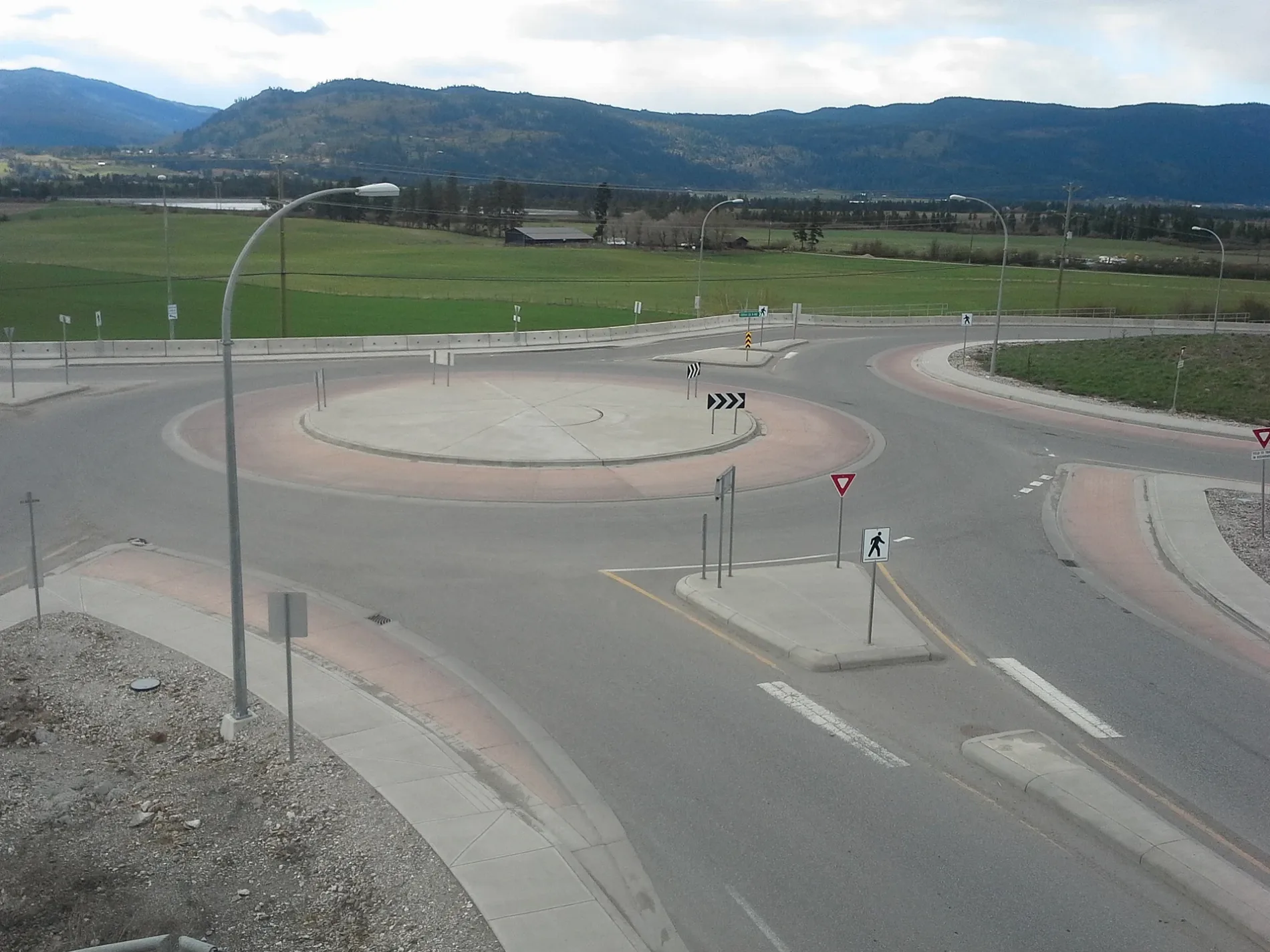
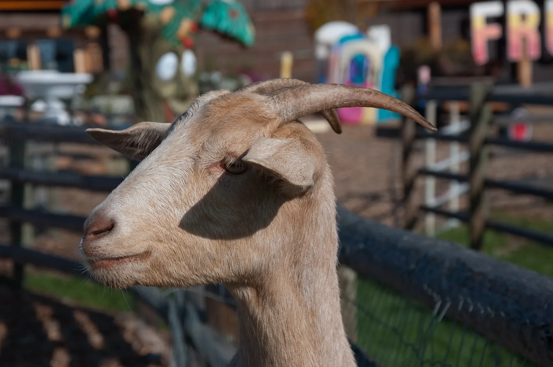
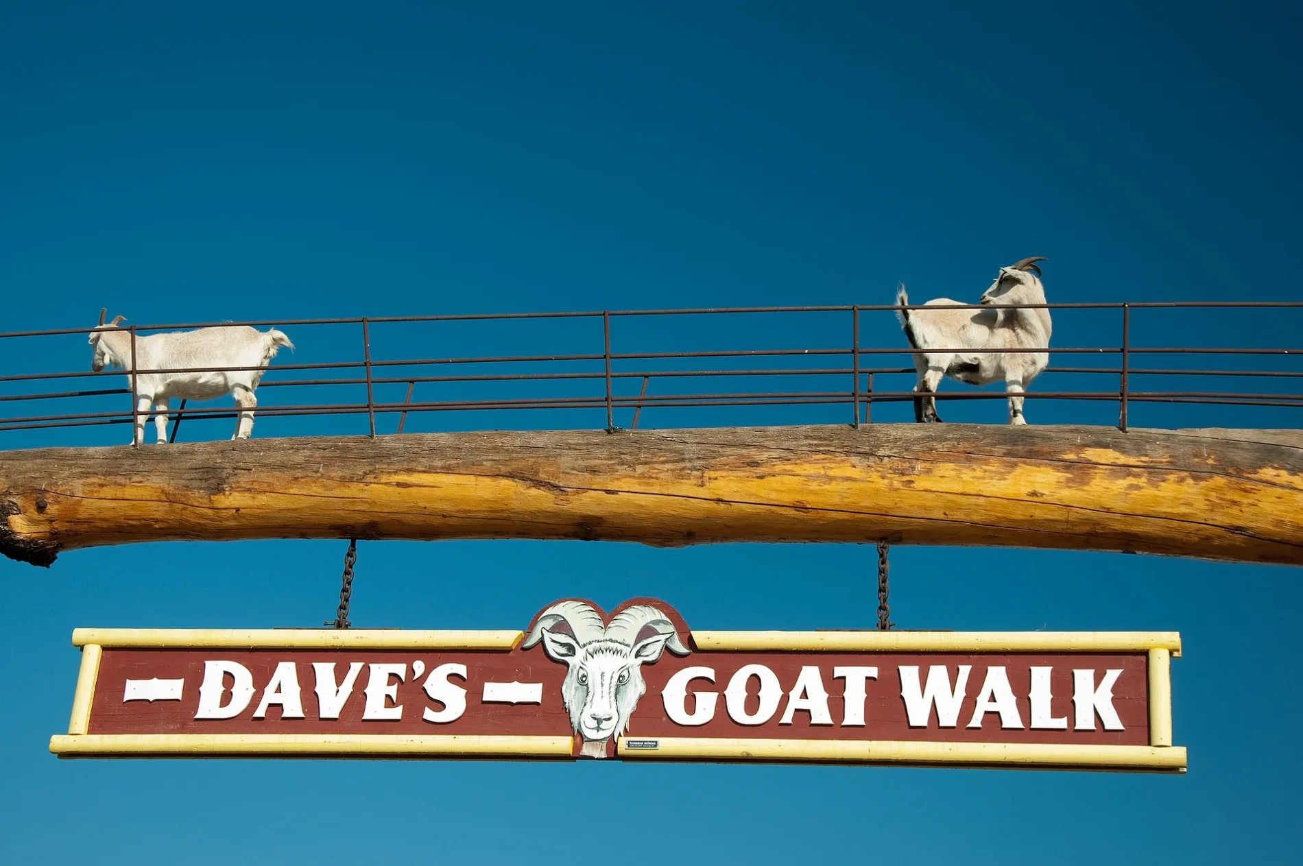
Roads in Spallumcheen, British Columbia
Roads
Hutley Road North
Larkin Cross Road
Larkin
Vernon-Sicamous HighwayHwy 97A at Creamery (WB), Hwy 97A at Creamery (EB)
Head Of The Lake Road
L and A Cross Road
Mendenhall Road
Northwind Drive
Otter Lake Road
Overlook Place
St Annes Road
Stepping Stones Crescent
Stepping Stones Road
Highway 97AA&W, Starbucks
Greenhow Road
Keddleston Road
Pineridge Road
Pleasant Valley RoadHwy 97A at Spallumcheen (NB), Pleasant Valley at Palisades (EB)
Ridgeview Road
Clinton Road
Corkscrew Road
Evans Road
Grandview Flats Road
Grandview Flats Road North
Grandview Road SouthGrandview
MacDonald Road
Miller Road
Page Road
Round Lake Road
Walbridge Road
Birch Drive
Blattner Road
Bretts Road
Crozier Road
Demorest Road
Eagle Rock Road
Emery Road
Hales Road
Mountain Way
Head Road
Cedar Lane
Larkin Place
Hoffman Road
Industrial Drive
Otter Lake Cross Road
Palisades Place
Pineridge Place
Pleasant Valley Cross Road
Poplar Drive
Powerhouse Road
Realm RoadI & R Transmissions
Reiger Avenue
Serene Drive
Simons Road
Spallumcheen DriveSpallumcheen
Spallumcheen Place
Spallumcheen WaySpallumcheen
Thomas Hayes Road
Udy Place
Chamberlaine Road
Grizzly Hill Road
Hallam Road
Hullcar RoadHullcar
Parkinson Road
Salmon River Road
Sharp Road
Back Enderby Road
Colony Avenue
Crawford Road
Creamery Road
Dodds Road
East Rosedale Road
Rosedale East Road
Ford Road
Gulch Road
Heighton Road
Heltman Road
Highland Park Road
Hope Drive
Knob Hill Road
Lansdowne Road
Larch Drive
Lockhart Crescent
Lockhart Drive
Malpass Road
Marshall Road
Maw Road
McCallan Road
McLeery Road
McLeod Road
McQuarrie Road
Meggait Place
Meggait Road
Mountain View Road
Noble Road
Pringle Road
Prouty Road
Rashdale Road
Reservoir Road
Round Prairie Road
Schubert Road
Sidney Crescent
Sleepy Hollow Road
Springview Place
Stardel Drive
Stepney Cross Road
Stepney Road
Swanson Mountain Road
Upper McLeod Road
Whitaker Road
Wyatt Road
Young Road
Baker Road Forest Service Road
Todd Place
Canyon Road
Deep Creek Road
Frederick Road
Pyott Road
Wolfgang Road
Fortune Road
Graham Road
Hutley Road South
Raffan Road
McLennan Road
Rosedale Avenue
Smith Drive
Harding Road
Mount Rose-Swanson Trails
Old Kamloops Road
Sun Valley Motor Speedway
Sun Valley Motor Speedway Pit Road
Access Easement
Otter LookoutOtter Lake Lookout
Chipmunk Cutoff
Chickadee Way
White Tail Wander
Coyote LoopAbandoned railways
Body of waters
Buildings
Canals
Commercial buildings
Landfills
Marketplaces
Museum
Places of worship
Railway lines
School buildings
Streams
Greenhow Creek
Gurney Creek
Paterson Creek
Hutley Creek
Malysh Brook
Douglas Creek
John Brook
Round Creek
Sherban Brook
Anselm Creek
Cumming Creek
Eagle Rock Brook
East Meighan Creek
Flundra Brook
Fortune Creek
Maid Creek
Meighan Creek
Simons Brook
West Maid Creek
Joyce Creek
Sutton Creek
Alderson Creek
Glanzier Creek
Hussard Creek
Kendry Creek
Lindsay Creek
Sneesby Creek
Slack Creek
Crawley Creek
Harland Creek
Ricardo Creek
Town halls
 Public transport map Spallumcheen Legend
| Railway | |
| Bus | |
| Tram |
 Cycling map Spallumcheen Legend
| Cycle path | |
| Cycle lane on road | |
| Cycling on bus lane | |
| Bicycle street | |
| Cyclists allowed | |
| Cyclists allowed, good surface | |
| No cycling | |
| Cobblestones |
| Long-distance cycle route | (depending on scale) | |
| Long-distance cycle route |
 Walking map Spallumcheen Legend
| Path |
| Long-distance hiking trail | (depending on scale) | |
| Long-distance hiking trail | ||
| No pedestrians |