
5101 19 Street in Vernon, British Columbia
5101 19 Street in Vernon is a service road (10 km/h, private) and comes from 19 Street. The nearest bus stop in the vicinity is 20 St farside 50 Ave (NB) (approx. 100 m away).
- Road Type
- service road
- Speed Limit
- 10
Image
Social facility
Supermarkets
Electronics shops
Pubs
Sports shops
Bus stops
Car repair shops
Fast food restaurants
Off-licences
Pet shops
Second-hand shops
Roads nearby
19 Street50 m
50 Avenue100 m
21 Street150 m
1801 53 AvenueHeron Glen
150 m
BX Creek Trail200 m
2200 53 AvenueAmblands
200 m
20 Street20 St farside 50 Ave (NB), 20 St at 50 Ave (SB), 20 St at 55 Ave (SB), 20 St at 43 Ave (NB), 20 St 3900 block (NB)
250 m
55 Avenue20 St farside 55 Ave (NB), Value Village, Petland
250 m
5501 20 StreetRoxborough by the Creek
250 m
2201 53 Avenue300 m
Pleasant Valley RoadButcher Boys, Pleasant Valley at Silver Star (NB), Pleasant Valley at 48 Ave (SB), Pleasant Valley at Stickle (SB), Pleasant Valley at Henry (NB), Pleasant Valley 6920 block (SB), Pleasant Valley at Hwy 97A (SB), Pleasant Valley at Hwy 97A (NB)
300 m
1700 Deleenheer Road350 m
Deleenheer Road350 m
48 Avenue48 Ave at 23 St (WB), Speedy Auto Service, Mediterranean Market, Andre's Electronics, 48 Ave at 31 St (WB), 27th Street Grille1, 48 Ave at 27 St (WB), Petro-Canada, Ricky's, Esso, 48 Ave at 20 St (WB), Scotiabank, 48th at 29th (WB)
400 m
Silver Star RoadSilver Star Liquor Store
400 m
McIntosh Road450 m
Pearson Road500 m
24 StreetPanago, Sally Beauty, Best Buy
600 m
58 AvenueTaco Del Mar, 58 Ave AT 2400 Block (WB), 58 Ave at 24 St (EB), Tesla Supercharger, Flo, 58 Ave NS 20 St (EB)
600 m
47 Avenue600 m
Spartan RoadNorth Vernon
600 m
Rimer Road650 m
Okanagan Highway750 m
Lefoy Road750 m
DIY stores nearby
Rona600 m
Appliance stores nearby
Genier's Appliances350 m
Bicycle shops nearby
Skyride500 m
Buildings nearby
St John Ambulance500 m
ICBC Claim Centre500 m
Butcher's nearby
Helmut's Sausage Kitchen300 m
Cafés nearby
Tim Hortons650 m
Car washes nearby
Silver Star Car Wash300 m
Commercial buildings nearby
On Side Restoration400 m
Department stores nearby
Walmart400 m
Fast food restaurants nearby
McDonald's650 m
Industrial areas nearby
Operation Services450 m
Nature reserves nearby
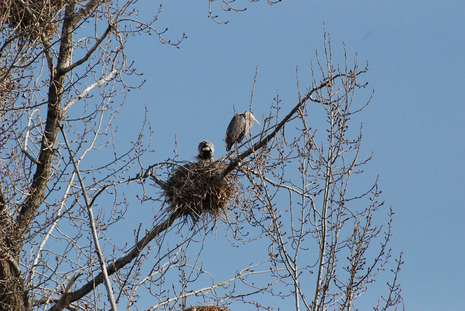
Blue Heron bird sanctuary100 m
Off-licences nearby
Village Green Liquor Store500 m
Parks nearby
BX Creek Natural Wetland350 m
Places of worship nearby
Community Baptist Church550 m
St Johns Lutheran Church550 m
Pubs nearby
Rosters400 m
Residential areas nearby
Parkwood600 m
Restaurants nearby
C-Lovers Fish & Chips500 m
Retail buildings nearby
Fabricland450 m
Sports shops nearby
Olympia Cycle and Ski450 m
Streams nearby
B.X. Creek250 m
Tyre shops nearby
Fountain Tire450 m
Veterinary practices nearby
Creekside Animal Clinic400 m
Public transport map Vernon Legend
| Railway | |
| Bus | |
| Tram |
Cycling map Vernon Legend
| Cycle path | |
| Cycle lane on road | |
| Cycling on bus lane | |
| Bicycle street | |
| Cyclists allowed | |
| Cyclists allowed, good surface | |
| No cycling | |
| Cobblestones |
| Long-distance cycle route | (depending on scale) | |
| Long-distance cycle route |
Walking map Vernon Legend
| Path |
| Long-distance hiking trail | (depending on scale) | |
| Long-distance hiking trail | ||
| No pedestrians |