
Area F (West Howe Sound), British Columbia
Area F (West Howe Sound) is located in Sunshine Coast Regional District. Area F (West Howe Sound) has around 763 streets. Among other things, Area F (West Howe Sound) has public transport, cafés and attractions.
Photos from Area F (West Howe Sound)
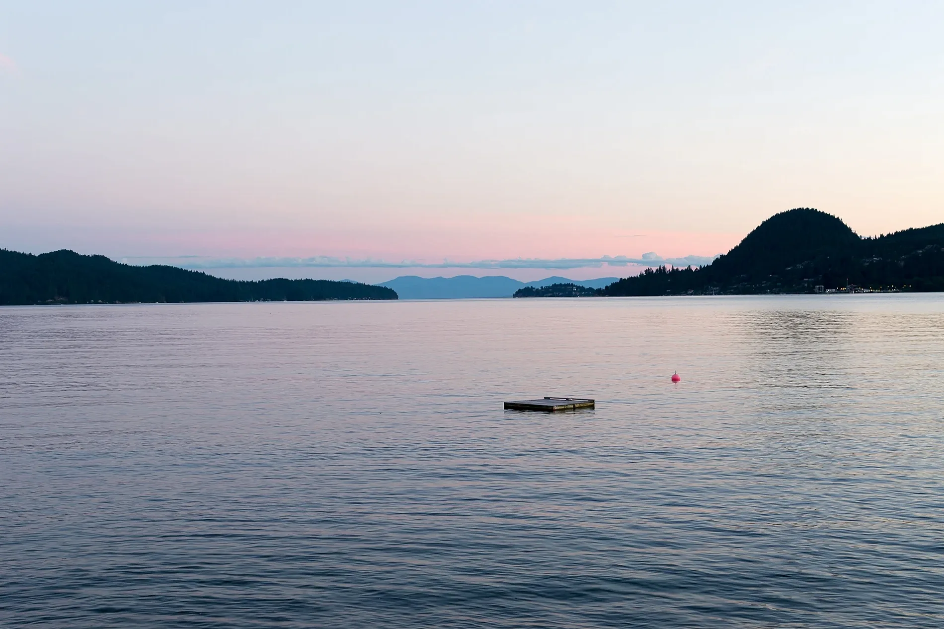

Roads in Area F (West Howe Sound), British Columbia
Roads
Marine Drive
Marine at Marine Cres (SB), Marine at Beach (NB), Marine at Jacks (NB), Marine at Harvey (SB), Marine at Church (WB), Marine at Trant (SB), Marine at Cartwright (SB), Marine at 1210 Block (SB), Marine at Hopkins (SB), Marine at Hopkins (NB), Cartwright at Marine (NB), Marine 1030 at Block (NB), Marine at Trant (NB), Marine at Church (EB), Marine at Marine (NB), Marine at North, Marine at North (NB)
North RoadNorth at St Andrews (SB), North at Bridgeman (EB), North Rd at 1407 Block (WB), North at Bridgeman (WB), North Rd at 1416 Block (NB), North Rd at 1841 Block (SB), North at Twin Isles (NB), Persephone Tasting Room, North Rd at Stewart (NB), North Rd at 1293 Block (WB), North at Chamberlin (EB), North at Stewart (SB)
New Brighton RoadGambier Island (New Brighton)
Esplanade RoadKeats Island (Eastbourne)
Berth 2Sunshine Coast (Langdale) Berth 2
Johnson RoadWharf at Johnson (EB), Johnson at Forbes (NB)
Port Mellon HighwayRéserve indienne Kaikalahun 25, Port Mellon at 1530 Block (NB), Port Mellon Hwy at Sunshine Coast Ferry (NB)
Bridgeman' Bluff TrailBridgeman's Bluff
Smith RoadPort Mellon at Smith (EB)
Forbes RoadThompson at Forbes (NB)
Poppel RoadPoppel Point
Killam Bluffs LookoutKillam Bluff
Nighthawk TrailNighthawk
Foot Passenger Dropoff LaneLangdale Ferry Terminal at Hwy 101 (WB)
Highest Peak trailHighest Peak
Grady RoadThe Nordic Cabins
Mt. Liddell TrailGambier Lake
Sunshine Coast HighwayWheatberries Bakery
White Spot East RouteWhite Spot Viewpoint
Admiral's Bluff TrailAdmiral's Bluff
Fisher Road
Park Avenue
Technical Ecstasy
Emperor Road
Red Trail
Parker Rd to St. Andrews Rd walkway
Flo Road
Trant Road
CPR
North Dakota Forest Service Road
Silver Gale Road
Tree trunk connector
Wharf Road
Gavin Road
Mountain Bike Park Road
Gambier Lake to Camp Latona
U-Turn Route
Boyle Road
Blueberry
Keats Island North Properties Access Trail
Twin Point Road
Rodeo Drive
Oak Avenue
Strahan Road
Sidewinder
Rosemary Lane
Doug's Detention
RD 550
Parsons Crossing
Beach access
Sabna Road
Arthur Road
RD 510
Center Bay Road
Errington WaySunset Estates
RD 523-1
Williamsons Landing RoadNature
Body of waters
Buildings
Cabins
Grass
Residential areas
Summer camps
 Public transport map Area F (West Howe Sound) Legend
| Railway | |
| Bus | |
| Tram |
 Cycling map Area F (West Howe Sound) Legend
| Cycle path | |
| Cycle lane on road | |
| Cycling on bus lane | |
| Bicycle street | |
| Cyclists allowed | |
| Cyclists allowed, good surface | |
| No cycling | |
| Cobblestones |
| Long-distance cycle route | (depending on scale) | |
| Long-distance cycle route |
 Walking map Area F (West Howe Sound) Legend
| Path |
| Long-distance hiking trail | (depending on scale) | |
| Long-distance hiking trail | ||
| No pedestrians |