
Austin Road in Area F (West Howe Sound), British Columbia
Austin Road in Area F (West Howe Sound) is a two-lane residential street. It runs in a southeast-northwest direction and ends at New Brighton Road, while the other end is a cul-de-sac. Austin Road also exists in Comox Valley Regional District, Columbia-Shuswap Regional District and Cariboo Regional District.
- Road Type
- residential street
- Lanes
- 2
- Route
- southeast-northwest
Image
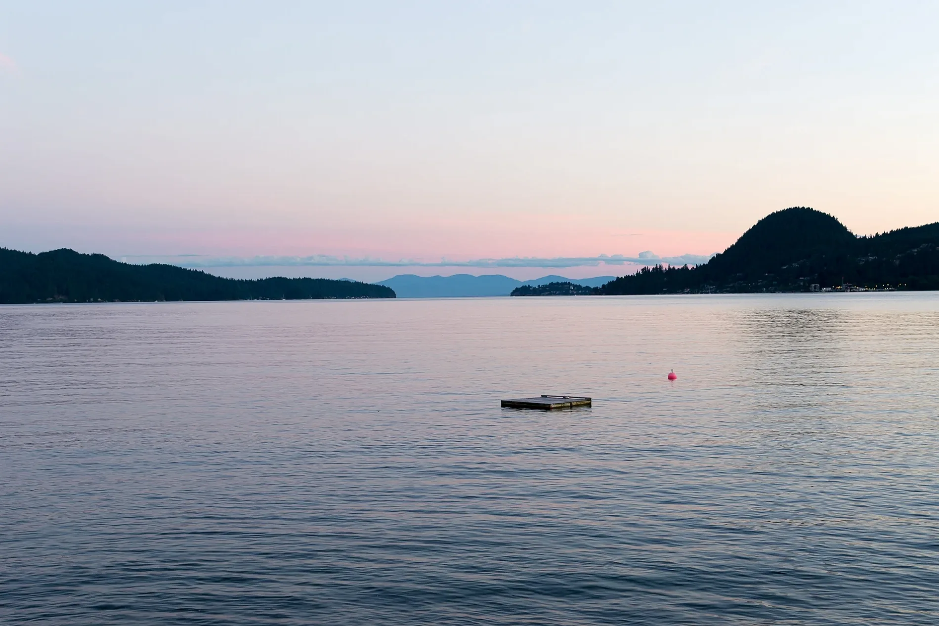
Viewpoint
Stations
Bus stops
Ferry terminals
Pensionen
Cafés
Roads nearby
New Brighton RoadGambier Island (New Brighton)
400 m
Andys Bay Road550 m
Shilo Road550 m
Star Road600 m
Shawanabe Road650 m
Sabna Road850 m
Dulcie Road850 m
Sargeant Road900 m
Satilite Road1000 m
Sasaler Road1000 m
Sporteka Road1,2 km
Arthur Road1,2 km
Kingston Creek Road1,2 km
West Bay Road1,2 km
Heron Trail1,3 km
The Grove Road1,4 km
Maple Road1,4 km
Barfleur Road1,4 km
Maple Place1,4 km
Bradbury Road1,5 km
Gambier Road1,5 km
Vanguard Avenue1,6 km
Mary Road1,6 km
Strahan Road1,7 km
Twin Point Road1,7 km
Wombat Trail2,1 km
Wilderness Road2,1 km
Taki-Te-Si Road2,2 km
Thornbrough Road2,2 km
Newman Road2,3 km
Whispering Creek Trail2,3 km
Poppel RoadPoppel Point
2,4 km
Monroe Road2,4 km
YMCA Road2,5 km
Grady RoadThe Nordic Cabins
2,5 km
Jensen Road2,5 km
Heartbreak Hill trail2,6 km
Maple Trail2,7 km
Beaches nearby
Black's Beach1,5 km
Gambier Harbour Beach1,6 km
Community centres nearby
Gambier Community Centre350 m
Nature reserves nearby
Gambier-west Bay Recreation Reserve1,4 km
Parks nearby
Anavets Park1,4 km
Shoals nearby
Mariners Rest (Formerly Steamboat Rock)2,5 km
Streams nearby
Kingston Creek200 m
Grennon Creek600 m
Mannion Creek2,6 km
Whispering Creek2,9 km
Summer camps nearby
Camp Elphinstone2,2 km
 Public transport map Area F (West Howe Sound) Legend
| Railway | |
| Bus | |
| Tram |
 Cycling map Area F (West Howe Sound) Legend
| Cycle path | |
| Cycle lane on road | |
| Cycling on bus lane | |
| Bicycle street | |
| Cyclists allowed | |
| Cyclists allowed, good surface | |
| No cycling | |
| Cobblestones |
| Long-distance cycle route | (depending on scale) | |
| Long-distance cycle route |
 Walking map Area F (West Howe Sound) Legend
| Path |
| Long-distance hiking trail | (depending on scale) | |
| Long-distance hiking trail | ||
| No pedestrians |