
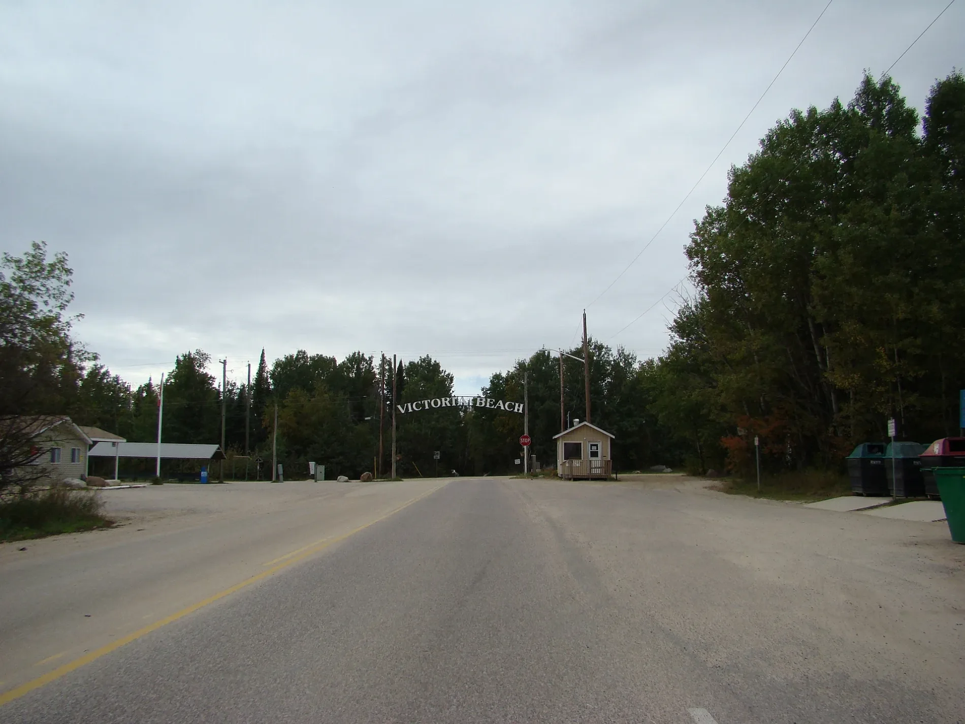
Balsam Avenue in Victoria Beach, Manitoba
Balsam Avenue in Rural Municipality of Victoria Beach is a single-lane, gravelled track. It runs in a north-south direction starting from Pine Road. Balsam Avenue also exists in Flin Flon and Unorganized Division No. 21.
- Road Type
- track
- Lanes
- 1
- Route
- north-south
Image
Marketplaces
Petrol stations
Places of worship
Attraction
Library
Tourist information offices
Viewpoint
Taxi ranks
Doctor's office
Drinking water fountains
Convenience stores
Roads nearby
Elm Avenue150 m
Thomas Drive150 m
Gibson Drive150 m
Ash Avenue250 m
Pine Road400 m
Grove Avenue400 m
Juniper Avenue400 m
Berry Avenue500 m
Provincial Trunk Highway 59Beaches Country Market and Artisan Sale, VB Taxi Service
500 m
Centre Avenue500 m
Victoria Street500 m
Birch AvenueVictoria Beach (Summer Doctor)
600 m
Ateah Drive600 m
Sixth Avenue650 m
Fifth Avenue South650 m
Thornton BoulevardHistoric Steam Roller
700 m
Beech Crescent750 m
Arthur Road750 m
Fourth AvenueDrinking fountain
800 m
First Avenue800 m
Sam McMorris Way850 m
Scott Drive900 m
Ajax Place1000 m
Patricia Road1,0 km
Fifth Avenue1,0 km
Eighth AvenueSt. Michaels Community Church
1,0 km
Third Avenue1,2 km
Patricia Stairs1,2 km
Seventh Avenue1,2 km
Alexandra Road1,2 km
Second Avenue1,3 km
Bakeries nearby
Village Green Bakery600 m
Bandstands nearby
Victoria Beach Memorial Stage650 m
Beaches nearby
Swim Beach650 m
Victoria Beach1,2 km
Boathouses nearby
Victoria Beach Yatch Club650 m
Buildings nearby
Parking Office500 m
Gate Office550 m
East Beaches Social Scene650 m
R. M. of Victoria Beach Public Works Shop700 m
Victoria Beach Harbour Authority900 m
Community centres nearby
Victoria Beach Community Center900 m
Constructions nearby
RMVB Fire Station800 m
Convenience stores nearby
Victoria Beach Store600 m
Golf courses nearby
Victoria Beach Golf Course1000 m
Libraries nearby
Victoria Beach Library650 m
Marinas nearby
Victoria Beach Marina900 m
Restaurants nearby
Moonlight Inn650 m
Sports pitches nearby
Victoria Beach Tennis Courts700 m
 Public transport map Rural Municipality of Victoria Beach Legend
| Railway | |
| Bus | |
| Tram |
 Cycling map Rural Municipality of Victoria Beach Legend
| Cycle path | |
| Cycle lane on road | |
| Cycling on bus lane | |
| Bicycle street | |
| Cyclists allowed | |
| Cyclists allowed, good surface | |
| No cycling | |
| Cobblestones |
| Long-distance cycle route | (depending on scale) | |
| Long-distance cycle route |
 Walking map Rural Municipality of Victoria Beach Legend
| Path |
| Long-distance hiking trail | (depending on scale) | |
| Long-distance hiking trail | ||
| No pedestrians |