
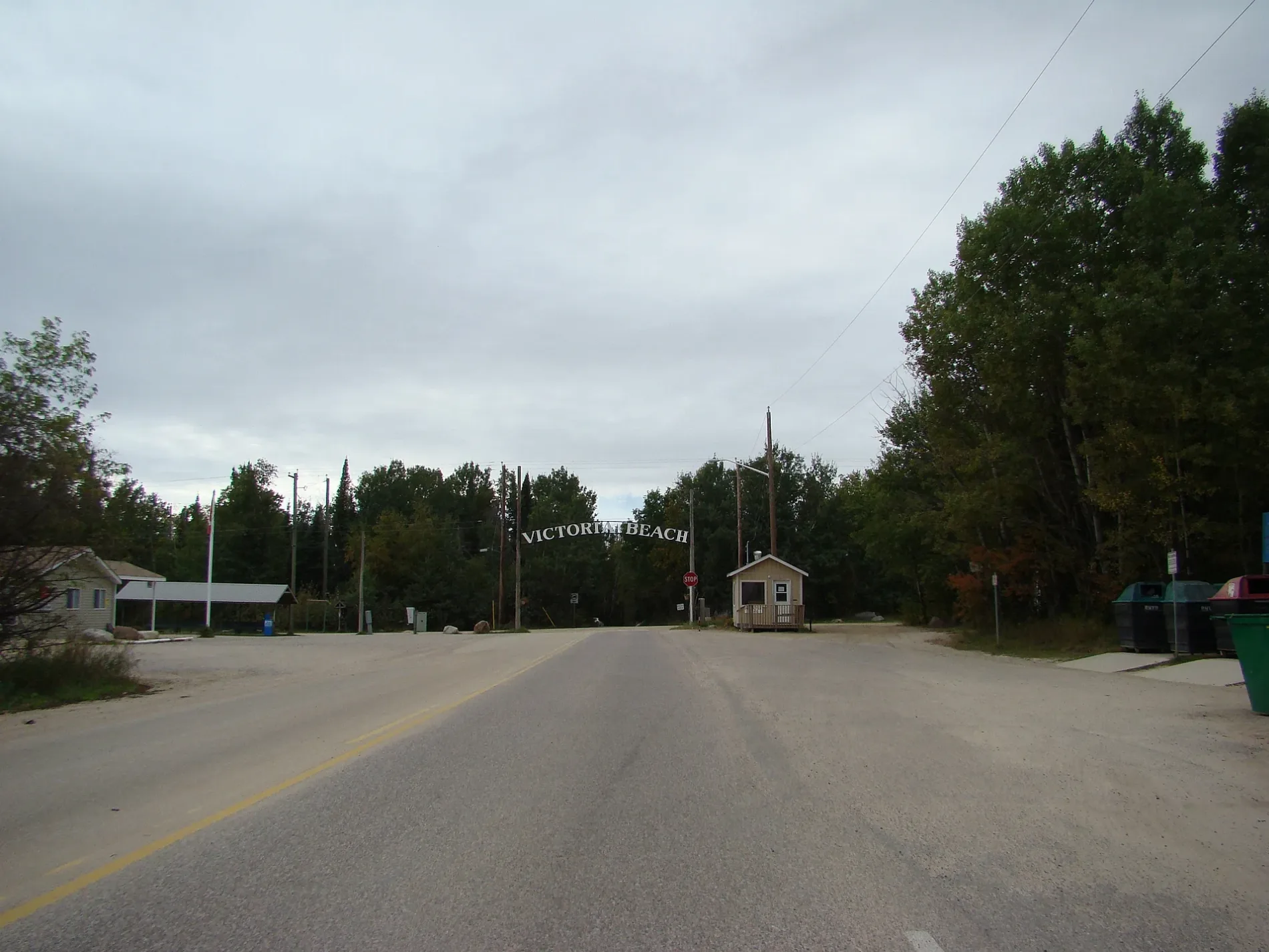
Provincial Trunk Highway 59 in Victoria Beach, Manitoba
Provincial Trunk Highway 59 in Rural Municipality of Victoria Beach is a two-lane main road. It runs in an east-west direction starting from Arthur Road and crosses Eighth Avenue, Ateah Drive, Arthur Road East and Provincial Road 504. This road is part of the long-distance road "59". In the vicinity, you can find a marketplace and a taxi rank. Provincial Trunk Highway 59 also exists in Municipality of Emerson – Franklin, Rural Municipality of Alexander, Rural Municipality of St. Clements, Rural Municipality of Hanover and Rural Municipality of De Salaberry.
- Road Type
- main road
- Lanes
- 2
- Route
- east-west
Image
Roads nearby
Grove Avenue400 m
Centre Avenue400 m
Sam McMorris Way450 m
Thomas Drive450 m
Pine Road450 m
Balsam Avenue500 m
Elm Avenue500 m
Sixth Avenue500 m
Birch AvenueVictoria Beach (Summer Doctor)
550 m
Fifth Avenue South600 m
Ash Avenue600 m
Gibson Drive600 m
Arthur Road650 m
Eighth AvenueSt. Michaels Community Church
650 m
Victoria Street750 m
Juniper Avenue750 m
Fifth Avenue750 m
Berry Avenue750 m
Fourth AvenueDrinking fountain
750 m
Ateah Drive750 m
Thornton BoulevardHistoric Steam Roller
800 m
Patricia Road800 m
Seventh Avenue800 m
Alexandra Road950 m
Third Avenue950 m
David Road950 m
Patricia Stairs1,0 km
King Edward Road1,0 km
Second Avenue1,0 km
First Avenue1,2 km
Alexandra Stairs1,2 km
King Edward Stairs1,3 km
Bakeries nearby
Village Green Bakery600 m
Bandstands nearby
Victoria Beach Memorial Stage700 m
Beaches nearby
Swim Beach850 m
Boathouses nearby
Victoria Beach Yatch Club800 m
Buildings nearby
Parking Office250 m
Gate Office300 m
R. M. of Victoria Beach Public Works Shop450 m
East Beaches Social Scene500 m
Victoria Beach Harbour Authority1,1 km
Community centres nearby
Victoria Beach Community Center650 m
Constructions nearby
RMVB Fire Station550 m
Convenience stores nearby
Victoria Beach Store600 m
Golf courses nearby
Victoria Beach Golf Course600 m
Libraries nearby
Victoria Beach Library750 m
Residential areas nearby
Victoria Beach1,4 km
Restaurants nearby
Moonlight Inn750 m
Sports pitches nearby
Victoria Beach Tennis Courts650 m
 Public transport map Rural Municipality of Victoria Beach Legend
| Railway | |
| Bus | |
| Tram |
 Cycling map Rural Municipality of Victoria Beach Legend
| Cycle path | |
| Cycle lane on road | |
| Cycling on bus lane | |
| Bicycle street | |
| Cyclists allowed | |
| Cyclists allowed, good surface | |
| No cycling | |
| Cobblestones |
| Long-distance cycle route | (depending on scale) | |
| Long-distance cycle route |
 Walking map Rural Municipality of Victoria Beach Legend
| Path |
| Long-distance hiking trail | (depending on scale) | |
| Long-distance hiking trail | ||
| No pedestrians |