
Avenue Harris in Moncton, Moncton Parish, New Brunswick
Avenue Harris in Moncton Parish is a two-lane residential street. It runs in a north-south direction starting from King Street and crosses St. George Street and ends at Rue du Rabbin Lippa Medjuck.
- Road Type
- residential street
- Lanes
- 2
- Route
- north-south
Image
Roads nearby
Rue du Rabbin Lippa Medjuck50 m
Rue du Printemps150 m
King Street150 m
Godfrey Lane150 m
Voie de l'usine150 m
Fergusson Lane150 m
Harper's Lane200 m
Rue de la ReineQueen / Lutz
200 m
Rue King200 m
Rue Steadman200 m
Rue Lewis200 m
Voie Andrew250 m
Cour Bendview250 m
St. George StreetSt George / Steadman St, 473 St George, Surplus Furniture and Mattress Warehouse, Whynot.BU Brunch Café, 357 St George, J.D.'s Auto Service, Wood River Valley Automotive Services, Canada Post, C&A Variety, 211 St George, 185 St George, 281 St George, St George / Alma
250 m
Voie Godfrey250 m
Rue Harper250 m
Lewis Street300 m
Carlyle Street300 m
Bendview Court300 m
Avenue Bellevue300 m
Lester StreetPump House Brewery
300 m
Rue Lester300 m
Rue Steadman Sud300 m
Orange LaneOsaka Hibachi
350 m
Victoria StreetStyle by Siwar Studio
350 m
Wesley Street350 m
Mechanic StreetRBC Royal Bank
450 m
Botsford Street450 m
Downing StreetMoncton Public Library
550 m
Assomption Boulevard600 m
TransCanada TrailRunning Room, Bore View, Tidal Bore Park
600 m
Apartment buildings nearby
Premiere Suites450 m
Building under constructions nearby
St. Bernard's Square350 m
Buildings nearby
Office Interriors150 m
La Mine D'or450 m
Cafés nearby
Tim Hortons200 m
Clothing shops nearby
Penningtons300 m
Commercial buildings nearby
Rogers500 m
Hotels nearby
Rodd300 m
Canvas300 m
Museum nearby
Resurgo Place (Moncton Museum)300 m
Parks nearby
Israel Park200 m
Lewis Park250 m
Parc Bore350 m
Riverfront Park700 m
Places of worship nearby
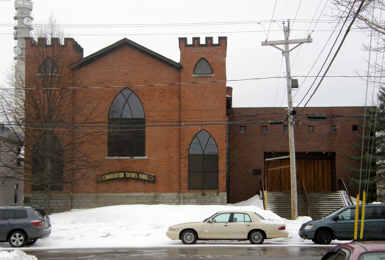
Tiferes Israel Synagogue150 m
Saint Bernard's Church400 m
Police stations nearby
GRC régionale Codiac300 m
Town halls nearby
Hôtel de ville de Moncton400 m
Public transport map Moncton Legend
| Railway | |
| Bus | |
| Tram |
Cycling map Moncton Legend
| Cycle path | |
| Cycle lane on road | |
| Cycling on bus lane | |
| Bicycle street | |
| Cyclists allowed | |
| Cyclists allowed, good surface | |
| No cycling | |
| Cobblestones |
| Long-distance cycle route | (depending on scale) | |
| Long-distance cycle route |
Walking map Moncton Legend
| Path |
| Long-distance hiking trail | (depending on scale) | |
| Long-distance hiking trail | ||
| No pedestrians |