
Rue Harper in Moncton, Moncton Parish, New Brunswick
Rue Harper in Moncton Parish is a two-lane residential street and runs in a north-south direction starting from Harper's Lane and ends at Main Street.
- Road Type
- residential street
- Lanes
- 2
- Route
- north-south
Image
Roads nearby
Harper's Lane150 m
Rue du Printemps150 m
Rue King150 m
Voie de l'usine200 m
Rue du Rabbin Lippa Medjuck250 m
King Street300 m
Godfrey Lane300 m
Fergusson Lane300 m
Cour Bendview300 m
Bendview Court300 m
Voie Andrew350 m
Rue Steadman Sud350 m
Avenue Harris400 m
Rue de la ReineQueen / Lutz
400 m
Voie Godfrey400 m
Main StreetTide & Boar Brewing, 1234 Main, Esso, Moncton Honda ChargePoint, DIY Studio, U-Haul, Mister Transmission, Motel 6, Harley-Davidson, Spin-it Records & Video, Steadman / Main, Hertz, Thrifty, Dollar, Parking, Fahda's, Eva's Tea House, Diem, Read's, 961 Main, Gomotel.ca, CanAsian Market, Mobil Mart, 233 Main, JoJo Restaurant, Tide and Boar Market, Tide and Boar Gastropub, Tim Hortons, Freshii, LASIK MD, C'est la Vie, Triiio Restaurant & Lounge, Tokai Ramen, KCupBop, 2nd Floor Nightclub, Burrito Jax, Third Glass Wine & Martinis, Théâtre du Capitol, Mexicali Rosa's, Scotiabank, RCMP-Community Policing, National Bank, 859 Main, Main / Alma, The Keg, Catch 22 Lobster Bar, McSweeney's Dinner Theatre, Residence Inn, Fontaine de l'Hôtel de ville, Shoe Tree, Canada Post, Main / Vaughan Harvey
400 m
TransCanada TrailRunning Room, Bore View, Tidal Bore Park
400 m
Rue Lewis400 m
Lewis Street400 m
Rue Steadman450 m
Champlain Street450 m
Wheeler Boulevard450 m
Assomption Boulevard450 m
Sentier Panacadie Trail500 m
boulevard Wheeler Boulevard550 m
Mechanic StreetRBC Royal Bank
550 m
Route 15550 m
Rue ChamplainSleep Country, Rossano's, 9 Champlain, Global Pet Foods, Subway, Circle K, Pita Pit, Cora, Irving, Pizza Delight, Swiss Chalet, Pizza Pizza, DermaEnvy Skincare - Moncton, Café La Lieto, National Bank, RBC, Domino's, Acadia Veterinary Hospital, Enterprise, Starbucks, Mimziz Macaron
700 m
Apartment buildings nearby
Premiere Suites500 m
Banks nearby
CIBC300 m
BMO700 m
Buildings nearby
Office Interriors200 m
Cafés nearby
Tim Hortons400 m
Clothing shops nearby
Penningtons100 m
Commercial buildings nearby
Rogers550 m
Fast food restaurants nearby
A&W650 m
Pita Pit850 m
Hotels nearby
Chateau Moncton200 m
Rodd250 m
Parks nearby
Parc Bore300 m
Settler's Landing Park300 m
Israel Park450 m
Petrol stations nearby
Mobil250 m
Places of worship nearby
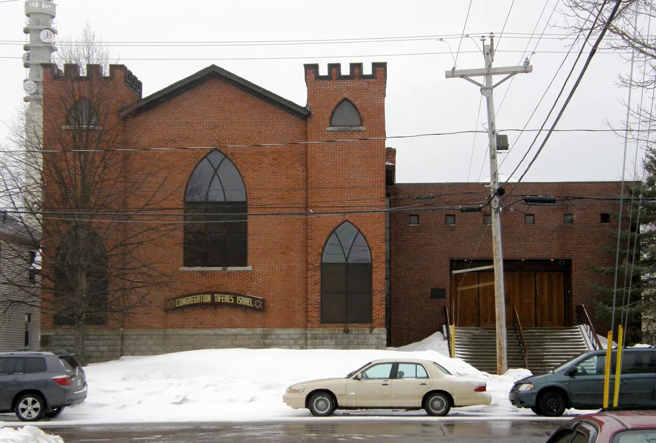
Tiferes Israel Synagogue400 m
Police stations nearby
GRC régionale Codiac350 m
Shopping malls nearby
Place Champlain700 m
Stationery shops nearby
Staples150 m
Supermarkets nearby
Atlantic Superstore200 m
Variety stores nearby
Dollarama400 m
Public transport map Moncton Legend
| Railway | |
| Bus | |
| Tram |
Cycling map Moncton Legend
| Cycle path | |
| Cycle lane on road | |
| Cycling on bus lane | |
| Bicycle street | |
| Cyclists allowed | |
| Cyclists allowed, good surface | |
| No cycling | |
| Cobblestones |
| Long-distance cycle route | (depending on scale) | |
| Long-distance cycle route |
Walking map Moncton Legend
| Path |
| Long-distance hiking trail | (depending on scale) | |
| Long-distance hiking trail | ||
| No pedestrians |