
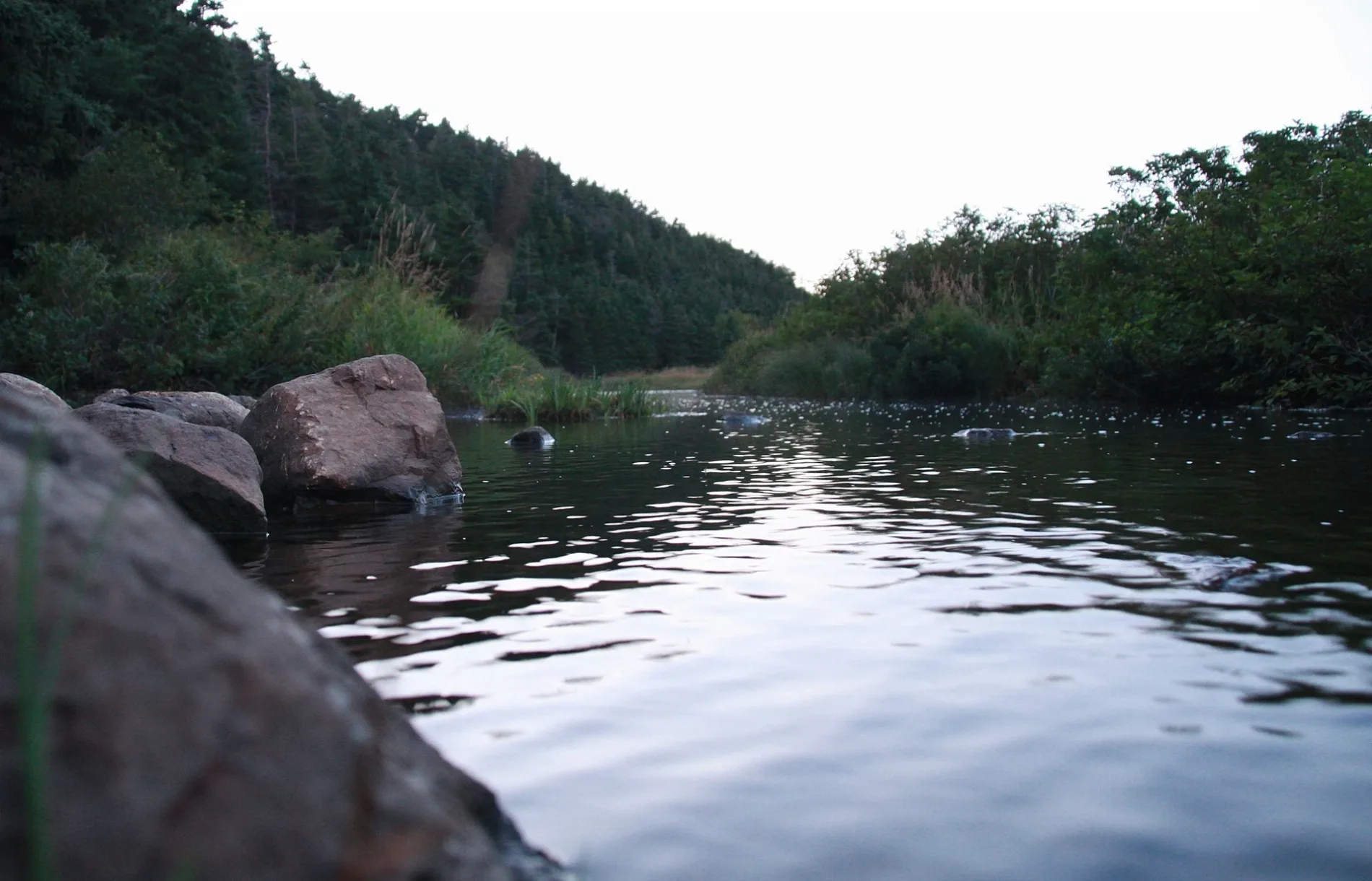
Blue Jay Bridge in Conception Bay South, Newfoundland and Labrador
Blue Jay Bridge in Conception Bay South is an unpaved footpath. The road has a width of 1 m. It runs in a southeast-northwest direction and ends in a cul-de-sac.
- Road Type
- footpath
- Route
- southeast-northwest
Image
Petrol stations
Restaurants
Pharmacy
Hardware shops
Clothing shops
Fast food restaurants
Car dealerships
Bank
Cannabis shops
Variety stores
Car parts shops
Convenience stores
Car repair shops
Recycling centres
Kitchen showrooms
Cafés
Roads nearby
Manuel's River Trail150 m
Kingfisher Bridge200 m
Hiscocks LaneCBS Green Depot
300 m
Cherry Lane400 m
Jetta Place400 m
Woody Lane400 m
Conception Bay HighwayKelligrews, Bernard Stanley Gastropub, Shaynes Auto Care, Cal Legrow, Winter Heating, Don Hennessy Limited, Irving, Esso, Mary Brown's, Credit Union, RBC, Dollarama, Home Hardware, Automotive Supplies (85) Ltd., A&W, Shoppers Drug Mart, Conception Bay Auto Supplies, Lance Cove, Upper Gullies, Provincial HomeCare, North Atlantic
450 m
Topsail RoadGene's Auto Sales, Seaside Restaurant, FYR Auto Service, Topsail Auto Body, Little Darlings Daycare, East Station, Alium Streetwear, Double Store, Harte Auto Sales, Manuels
450 m
Ivimey Place500 m
Access Place500 m
Neil's LineHometown Pizzeria
550 m
Mercers Road550 m
Javelin Place600 m
Manuels Arterial Road650 m
T’Railway Provincial ParkTweed, Brian's Autobody, Long Pond
650 m
Ewings Road650 m
Marthas Place650 m
Windy Cove Lane700 m
Squires Avenue700 m
Andlorlyn Place700 m
Hazel Place750 m
Herder Place750 m
Cabot RoadMaries Mini Mart
750 m
Tippett Place750 m
Richs Place800 m
Herlihys Place800 m
Flats Road800 m
Chamberlains Trail850 m
Hillview Avenue850 m
Uplands RoadExclusive Auto Parts
850 m
Wylies Place900 m
River Run900 m
Chamberlain's Trail900 m
Browns Lane900 m
Swansborough Heights950 m
Sailview Place1000 m
Silverwood Drive1,0 km
Body of waters nearby
Frog Pond700 m
Car dealerships nearby
Harte Auto Sales400 m
Convenience stores nearby
Irving Convenience300 m
Fast food restaurants nearby
Domino's250 m
Ice cream parlours nearby
Bergs Famous Ice Cream300 m
Museum nearby
Manuel's River Interpretation Center450 m
Places of worship nearby
St. Thomas of Villanova Church150 m
Residential areas nearby
Cherry Hill550 m
Restaurants nearby
Hometown Pizzeria450 m
Rivers nearby
Manuels River200 m
School buildings nearby
Villanova Junior High250 m
Holy Spirit High School300 m
 Public transport map Conception Bay South Legend
| Railway | |
| Bus | |
| Tram |
 Cycling map Conception Bay South Legend
| Cycle path | |
| Cycle lane on road | |
| Cycling on bus lane | |
| Bicycle street | |
| Cyclists allowed | |
| Cyclists allowed, good surface | |
| No cycling | |
| Cobblestones |
| Long-distance cycle route | (depending on scale) | |
| Long-distance cycle route |
 Walking map Conception Bay South Legend
| Path |
| Long-distance hiking trail | (depending on scale) | |
| Long-distance hiking trail | ||
| No pedestrians |