
Hiscocks Lane in Conception Bay South, Newfoundland and Labrador
Hiscocks Lane in Conception Bay South is a residential street (private). It runs in an east-west direction and ends at Topsail Road, while the other end is a cul-de-sac. In the vicinity, there is a recycling centre.
- Road Type
- residential street
- Route
- east-west
Image
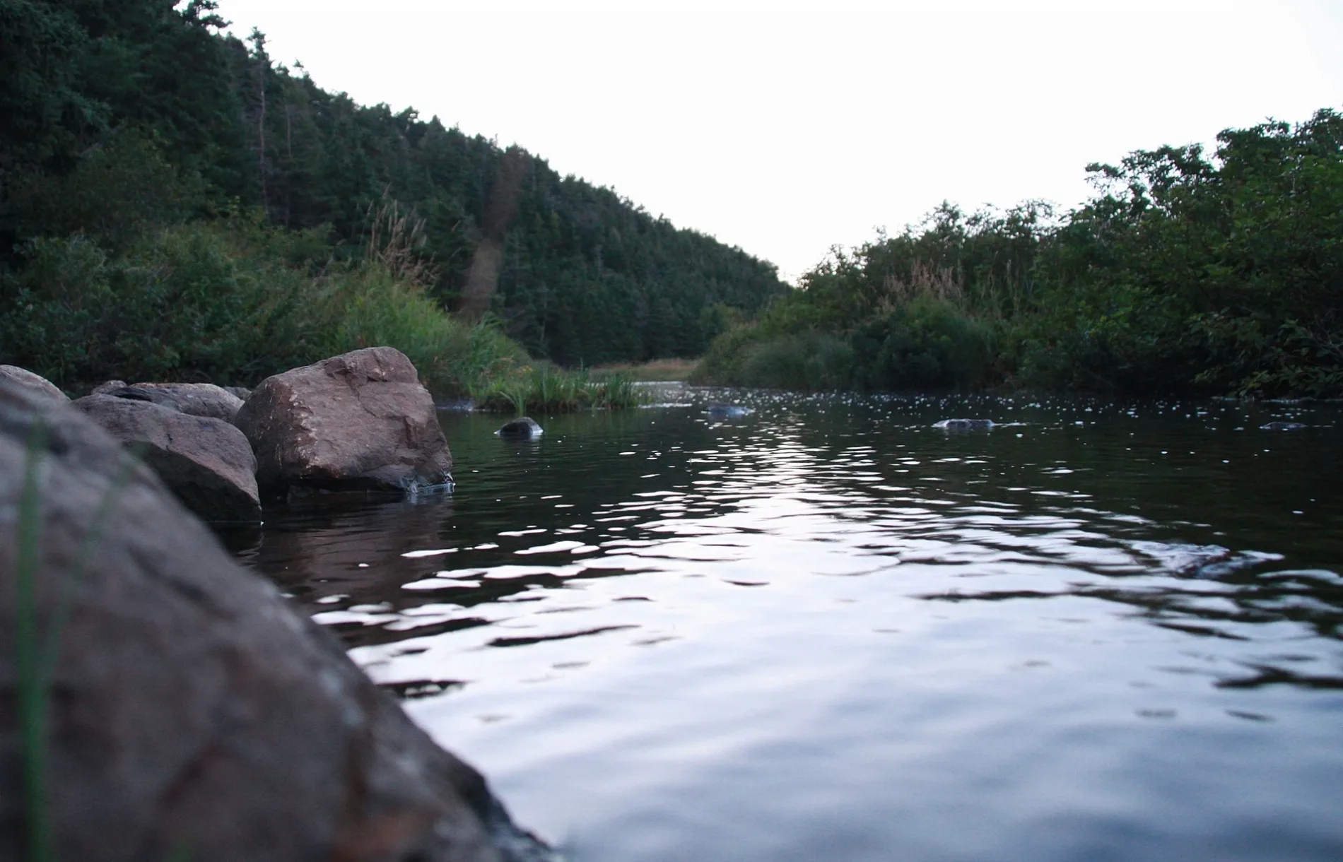
Recycling centres
Roads nearby
Woody Lane100 m
Ivimey Place200 m
Blue Jay Bridge300 m
Mercers Road350 m
Ewings Road400 m
Javelin Place400 m
Manuel's River Trail400 m
Andlorlyn Place400 m
Kingfisher Bridge450 m
Neil's LineHometown Pizzeria
450 m
Cabot RoadMaries Mini Mart
450 m
Herlihys Place500 m
Richs Place500 m
Tippett Place550 m
Hazel Place550 m
Conception Bay HighwayKelligrews, Bernard Stanley Gastropub, Shaynes Auto Care, Cal Legrow, Winter Heating, Don Hennessy Limited, Irving, Esso, Mary Brown's, Credit Union, RBC, Dollarama, Home Hardware, Automotive Supplies (85) Ltd., A&W, Shoppers Drug Mart, Conception Bay Auto Supplies, Lance Cove, Upper Gullies, Provincial HomeCare, North Atlantic
550 m
Uplands RoadExclusive Auto Parts
550 m
Topsail RoadGene's Auto Sales, Seaside Restaurant, FYR Auto Service, Topsail Auto Body, Little Darlings Daycare, East Station, Alium Streetwear, Double Store, Harte Auto Sales, Manuels
550 m
Chamberlains Trail550 m
Access Place600 m
Chamberlain's Trail650 m
Swansborough Heights650 m
Squires Avenue650 m
Jetta Place700 m
Wylies Place750 m
Manuels Arterial Road750 m
Sailview Place750 m
Hillview Avenue750 m
Silverwood Drive750 m
Dogwood Place750 m
Riverside Avenue800 m
T’Railway Provincial ParkTweed, Brian's Autobody, Long Pond
800 m
Swansea Street800 m
Woodpath Road850 m
Maple Ridge Place900 m
Sweetenwater Avenue900 m
Cambridge Crescent950 m
Echostone Place950 m
Body of waters nearby
Frog Pond750 m
Car dealerships nearby
Harte Auto Sales350 m
Convenience stores nearby
Irving Convenience500 m
Fast food restaurants nearby
Domino's500 m
Ice cream parlours nearby
Bergs Famous Ice Cream550 m
Museum nearby
Manuel's River Interpretation Center600 m
Places of worship nearby
St. Thomas of Villanova Church200 m
Restaurants nearby
Hometown Pizzeria450 m
Rivers nearby
Manuels River400 m
School buildings nearby
Holy Spirit High School50 m
Villanova Junior High300 m
 Public transport map Conception Bay South Legend
| Railway | |
| Bus | |
| Tram |
 Cycling map Conception Bay South Legend
| Cycle path | |
| Cycle lane on road | |
| Cycling on bus lane | |
| Bicycle street | |
| Cyclists allowed | |
| Cyclists allowed, good surface | |
| No cycling | |
| Cobblestones |
| Long-distance cycle route | (depending on scale) | |
| Long-distance cycle route |
 Walking map Conception Bay South Legend
| Path |
| Long-distance hiking trail | (depending on scale) | |
| Long-distance hiking trail | ||
| No pedestrians |