
Boars Head Road in Tiverton, Nova Scotia
Boars Head Road in Tiverton is a single-lane residential street. It runs in a north-south direction and crosses Kendricks Lane and Tiverton Ferry Ramp and ends at Highway 217, while the other end is a cul-de-sac.
- Road Type
- residential street
- Lanes
- 1
- Route
- north-south
Image
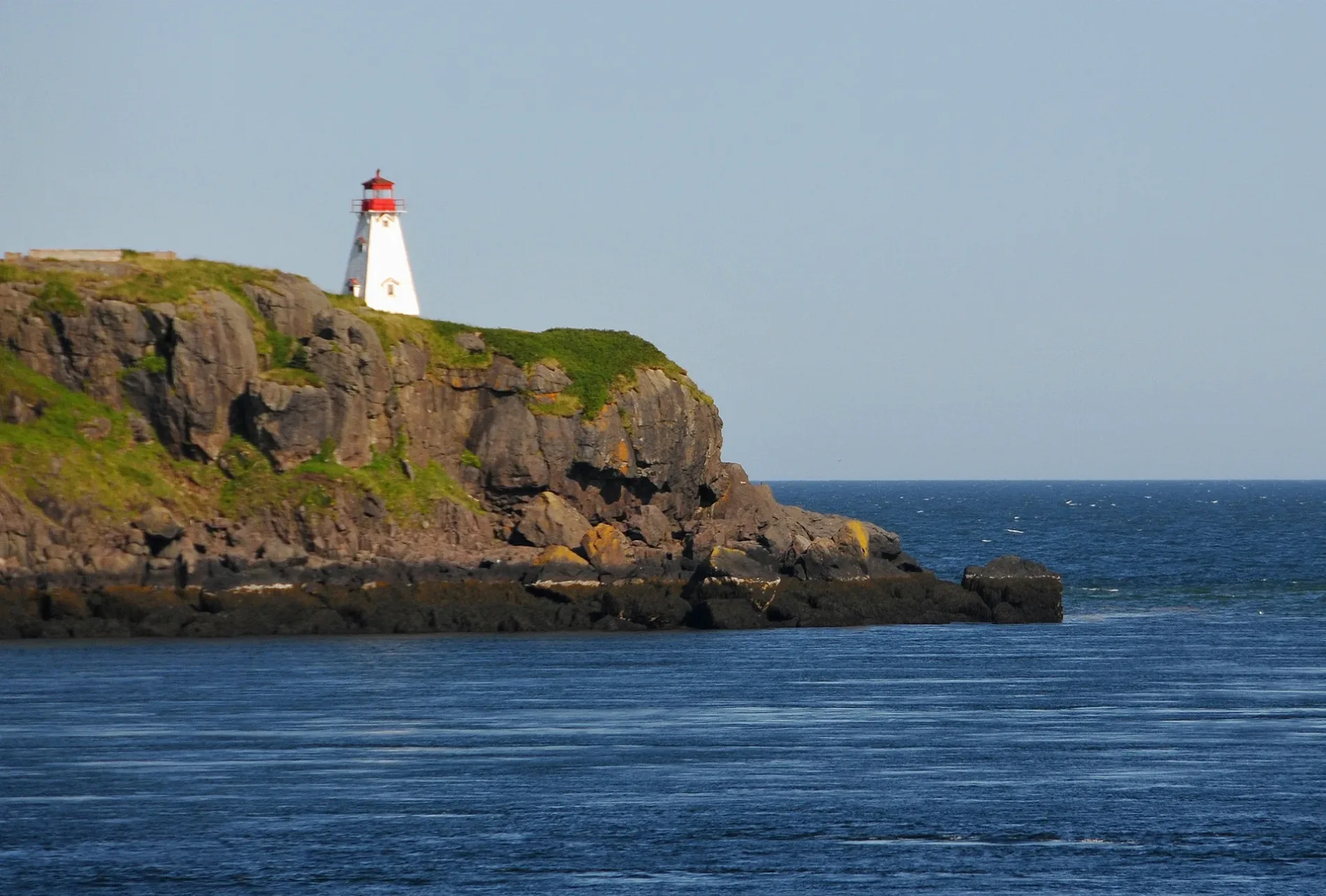
Roads nearby
Kendricks Lane450 m
Tiverton Ferry RampTiverton
500 m
G Davis Elliotts Lane800 m
Joels Lane800 m
Maxs Point Road950 m
East Ferry Ferry RampEast Ferry
1,1 km
Outhouse Lane1,1 km
Old Route 217 Loop1,2 km
Jim Cossaboom Road1,3 km
MacKay Lane1,4 km
Shore Road1,4 km
Meadow Branch1,5 km
Across The Meadow RoadEast Ferry
1,6 km
Israel Cove Road1,6 km
Cemetery Lane1,7 km
Bear Cove Road1,8 km
Seal Point Road2,1 km
Old Rte 217 Loop2,2 km
Balancing Rock TrailBalancing Rock
3,9 km
Shoreview Road4,4 km
Stanton Branch5,2 km
Whale Cove RoadWhale Cove
5,3 km
Flours Cove Road7,3 km
Tommys Branch7,5 km
Cherry Valley Road7,9 km
Little River Road8,2 km
Denton Road8,3 km
Tidds Lane8,3 km
Eastern Head Road8,4 km
Highway 217Central Grove
8,8 km
Body of waters nearby
Long Island Lakes6,8 km
Fire stations nearby
Tiverton Fire Department1,9 km
Parks nearby
Central Grove Provincial Park8,6 km
Post offices nearby
Tiverton Post Office1000 m
Streams nearby
Little River4,0 km
Long Island Brook8,6 km
Other nearby
Petit Passage800 m
Tiverton1,0 km
509V East Ferry Substation1,6 km
East Ferry3,4 km
Whale Cove5,1 km
Tiddville5,1 km
Central Grove7,9 km
 Public transport map Tiverton Legend
| Railway | |
| Bus | |
| Tram |
 Cycling map Tiverton Legend
| Cycle path | |
| Cycle lane on road | |
| Cycling on bus lane | |
| Bicycle street | |
| Cyclists allowed | |
| Cyclists allowed, good surface | |
| No cycling | |
| Cobblestones |
| Long-distance cycle route | (depending on scale) | |
| Long-distance cycle route |
 Walking map Tiverton Legend
| Path |
| Long-distance hiking trail | (depending on scale) | |
| Long-distance hiking trail | ||
| No pedestrians |