
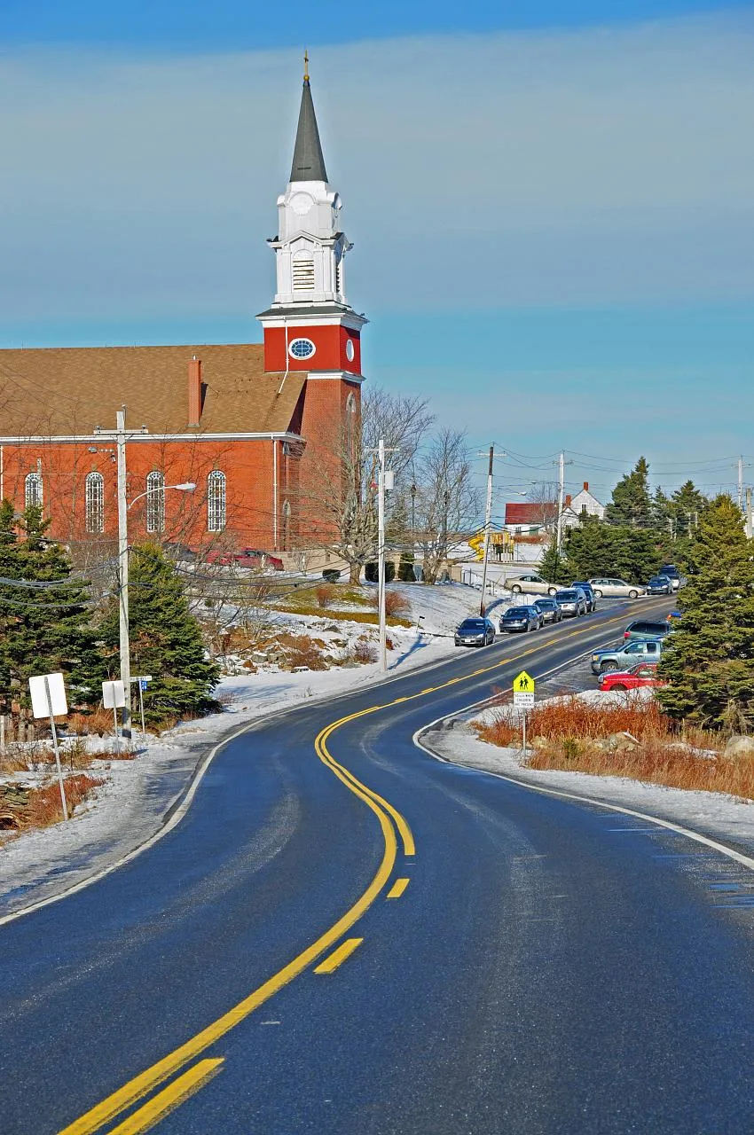
Bonin Road in Grand Desert, Nova Scotia
Bonin Road in Grand Desert is a single-lane, unpaved residential street. It runs in a northeast-southwest direction starting from Grand Desert Station Road and ends in a cul-de-sac.
- Road Type
- residential street
- Lanes
- 1
- Route
- northeast-southwest
Image
Bus stops
Roads nearby
Grand Desert Station Road450 m
Blueberry Run (Trans Canada Trail)Desert
500 m
Desert Lane550 m
Bonang Lane700 m
Smartside Way800 m
Golden Rod Lane950 m
Conrod Road1,1 km
Lavonnes Way1,1 km
Range Road1,2 km
Harrys Way1,2 km
Pasture Road1,5 km
Netties Way1,7 km
Hanedapa Way1,8 km
Loganberry LaneMamie's unisex health & beauty salon
1,8 km
Gaetz Lake Drive1,8 km
Dyke Road1,9 km
Back Road8897 - Back Rd Before Hwy 207, 8896 - Back Rd After Gaetz Lake Dr, Seaforth, 8895 - Back Rd After Hwy 207
1,9 km
Covenant Way2,0 km
Blackberry Hill Road2,2 km
Porters Lake Loop C2,3 km
Nova Lane2,3 km
Atlantic View Trail (Trans Canada Trail)2,3 km
Highway 2078901 - Hwy 207 Before Bellefontaine Rd, Come Buy Chance Antiques, 8905 - Hwy 207 Before Shore Rd, 8790 - Hwy 207 Before Aspen Rd, 8904 - Hwy 207 Opposite Les Collins Ave, 8547 - Hwy 207 Before Keating Dr, 8548 - Hwy 207 Before Keating Dr, 8793 - Hwy 207 After Old Harvey Ln, 8645 - Hwy 207 At Civic 7396, 7375 - Hwy 207 Before Shore Rd, 8794 - Hwy 207 After Eleanor Marie Ln, 8903 - Hwy 207 Before Eleanor Marie Ln, 8795 - Hwy 207 After Petain Station Rd, 8902 - Hwy 207 After Murphys Way, 8792 - Hwy 207 Before Johnson Ave, 8646 - Hwy 207 After Keller Ln
2,3 km
Hill RoadAcadien House Museum, La Cuisine de Brigitte
2,4 km
Lake Shore Drive2,4 km
Adwall Road2,4 km
Acadia Lane2,5 km
Porters Lake Loop B2,5 km
Hunter Lane2,5 km
Bellefontaine Road8796 - Hwy 207 At Bellefontaine Rd, Petain
2,6 km
Fountaine Court2,6 km
Winnies Way2,6 km
Petain Station Road2,7 km
Sellars Head Road2,8 km
Blueberry Run3,0 km
Rutter Court3,0 km
Beachside Lane3,0 km
Atlantic View Trail3,2 km
Body of waters nearby
Conrod Lake1,6 km
Gaetz Lake2,2 km
Cemeteries nearby
Saint James Anglican Church Cemetery750 m
Saint James Anglian Church Cemetery2,0 km
Community centres nearby
Ste Therese community centre650 m
Parks nearby
Grand Desert Park850 m
Places of worship nearby
Saint James Anglian Church2,0 km
Woodlands nearby
Indian Island1,7 km
Other nearby
West Chezzetcook1,5 km
Grand Desert2,1 km
West Porters Lake2,3 km
Public transport map Grand Desert Legend
| Railway | |
| Bus | |
| Tram |
Cycling map Grand Desert Legend
| Cycle path | |
| Cycle lane on road | |
| Cycling on bus lane | |
| Bicycle street | |
| Cyclists allowed | |
| Cyclists allowed, good surface | |
| No cycling | |
| Cobblestones |
| Long-distance cycle route | (depending on scale) | |
| Long-distance cycle route |
Walking map Grand Desert Legend
| Path |
| Long-distance hiking trail | (depending on scale) | |
| Long-distance hiking trail | ||
| No pedestrians |