
Stanley Airport Road in Stanley, Nova Scotia
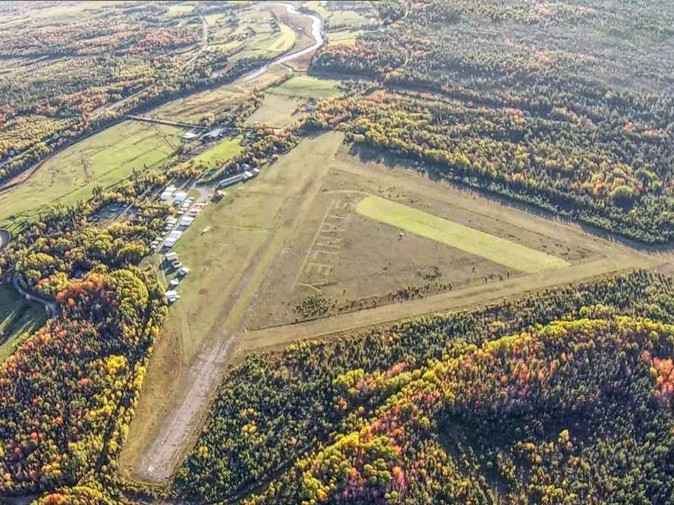
Stanley Airport Road in Stanley is a two-lane, unpaved residential street and it runs in an east-west direction starting from North River Road and ends in a cul-de-sac.
- Road Type
- residential street
- Lanes
- 2
- Route
- east-west
Image
Roads nearby
Greenfield Road3,0 km
Walker Road4,3 km
Atwood Road4,3 km
Highway 14Greenfield
5,1 km
Vaughan Road5,4 km
Highway 236Moorbern Farms, Scotch Village, Newport Baptist Church
5,8 km
Levy Drive6,5 km
North River Road6,7 km
Old Trunk 14 Highway6,7 km
Scotch Village Station Road7,2 km
Rosemary Avenue South7,3 km
Sanderson Road7,4 km
Sunrise Lane7,5 km
South Rawdon Road7,5 km
Owen Davis Drive8,3 km
Abandoned railways nearby
Truro Subdivision6,8 km
Body of waters nearby
Cayley Lake4,3 km
Anthony Lake5,1 km
Smith Lake5,5 km
Fentons Lake5,9 km
Cemeteries nearby
Saint Stephen's Anglican Church Cemetery1,1 km
Community centres nearby
Stanley Mosherville Community Hall1,1 km
Nature reserves nearby
Petite Bog Nature Reserve5,1 km
Places of worship nearby
Saint Stephen's Anglican Church1,0 km
Centre Rawdon United Church Cemetery8,3 km
Rivers nearby
Kennetcook River1,3 km
Service buildings nearby
Bell Aliant Clarksville CLVLNS02RS17,1 km
Streams nearby
Tomcod River800 m
Weir Brook1,4 km
Cayley Brook3,2 km
Simpson Brook4,7 km
Little River5,4 km
Herbert River6,5 km
Glen Brook7,2 km
Sugarloaf Brook7,2 km
Cogmagun River7,4 km
South Branch Cogmagun River7,6 km
Birch Brook7,8 km
McInnis Brook8,3 km
Beaver Brook8,4 km
Other nearby
Stanley2,5 km
Greenfield3,6 km
Mosherville4,1 km
Centre Rawdon5,2 km
West - East Hants6,3 km
Pinnacle Hill7,7 km
Scotch Village7,7 km
Woodville8,0 km
McKay Section8,5 km
Public transport map Stanley Legend
| Railway | |
| Bus | |
| Tram |
Cycling map Stanley Legend
| Cycle path | |
| Cycle lane on road | |
| Cycling on bus lane | |
| Bicycle street | |
| Cyclists allowed | |
| Cyclists allowed, good surface | |
| No cycling | |
| Cobblestones |
| Long-distance cycle route | (depending on scale) | |
| Long-distance cycle route |
Walking map Stanley Legend
| Path |
| Long-distance hiking trail | (depending on scale) | |
| Long-distance hiking trail | ||
| No pedestrians |