
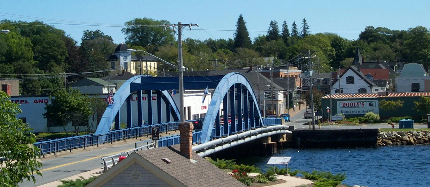
Union Street in Liverpool, Nova Scotia
Union Street in Liverpool is a two-lane, asphalted residential street. It runs in a southeast-northwest direction starting from Henry Hensey Drive and crosses Main Street, Mill Lane, Parker Street and Church Street and ends at Waterloo Street.
- Road Type
- residential street
- Lanes
- 2
- Route
- southeast-northwest
Image
Social facility
Tourist information offices
Petrol stations
Cafés
Supermarkets
Bank
Off-licences
Fast food restaurants
Pubs
Fire station
Museum
- Queens County Museum (web) at Main Street 109 – approx. 750 m.
Roads nearby
Parker Street50 m
Mill Lane100 m
Zwicker Avenue150 m
Summer StreetLiverpool
200 m
Church Street200 m
Old Pit Lane200 m
Millard Avenue200 m
Macpherson Street250 m
Milliard Avenue250 m
White Point Road250 m
Weir Lane250 m
McLeod StreetRoute 3 Cellar Taproom & Grill, Queens County Food Bank
300 m
Payzant Street350 m
Henry Hensey DriveTourist bureau
350 m
Main StreetLiverpool Fire Station, Paul's German Cafe Bistro Restaurant
350 m
Old Bridge Street350 m
Ellenwood Street350 m
Meadow Pond Lane400 m
Legion Street400 m
Old Port Mouton Road400 m
Gorham Street450 m
Waterloo Street500 m
Jubilee StreetRBC
500 m
Crowell Street500 m
Boehner Street550 m
Water Street550 m
Market Street600 m
Court Street600 m
Carten Street600 m
College Street600 m
Barss Street650 m
Reese Street650 m
Park Street650 m
Buildings nearby
Hellbay Brewery400 m
Privateers Place400 m
PharmaChoice450 m
RBC500 m
M.W. Quinn Painting & Decorating LTD.550 m
Bell Aliant Liverpool LVPLNS01RS1550 m
Fire stations nearby
Liverpool Fire Station400 m
Ice rinks nearby
Liverpool Curling Club400 m
Libraries nearby
Thomas H Randall Library400 m
Parks nearby
Meadow Pond300 m
Places of worship nearby
St Gregory's Catholic Church300 m
Trinity Anglican Church400 m
Post offices nearby
Liverpool Post Office600 m
School buildings nearby
South Queens Middle School450 m
Theatres nearby
Astor Theatre500 m
Other nearby
48W Liverpool350 m
Public transport map Liverpool Legend
| Railway | |
| Bus | |
| Tram |
Cycling map Liverpool Legend
| Cycle path | |
| Cycle lane on road | |
| Cycling on bus lane | |
| Bicycle street | |
| Cyclists allowed | |
| Cyclists allowed, good surface | |
| No cycling | |
| Cobblestones |
| Long-distance cycle route | (depending on scale) | |
| Long-distance cycle route |
Walking map Liverpool Legend
| Path |
| Long-distance hiking trail | (depending on scale) | |
| Long-distance hiking trail | ||
| No pedestrians |