
Highway 11 in Orillia
Highway 11 in Orillia is a two-lane, asphalted motorway (100 km/h). It runs in a north-south direction starting from Highway 11/12. This road is part of the long-distance road "11". In the vicinity, there is a bed shop. Highway 11 also exists in Northwestern Ontario.
- Bicycle
- no
- Road Type
- motorway
- Lanes
- 2
- Speed Limit
- 100
- Route
- north-south
Image
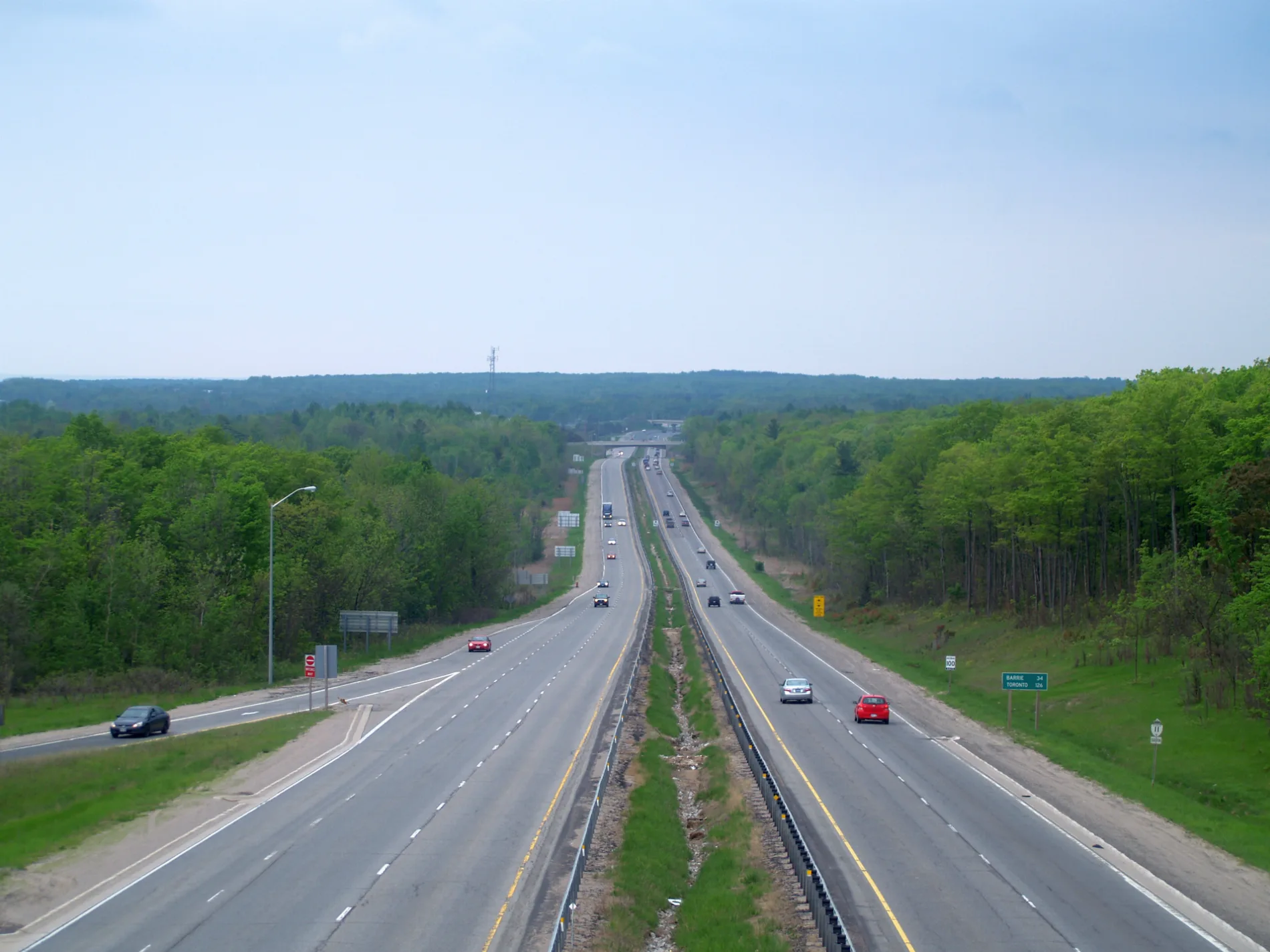
Bed shops
Roads nearby
Highway 12West Ridge Coin Laundry, Circle K, Orillia Eyecare, TNT Lingerie, Orillia Fire Station
150 m
Old Barrie Road East250 m
Algonquin Trail400 m
Nelle Carter Crt500 m
Swinimer Drive550 m
Karen Crescent650 m
Eleanor Road700 m
Uplands Trail700 m
Harvie Settlement Road700 m
University AvenueCostco Gasoline, Wimpy's Diner, Pizza Hut, St. Louis Bar & Grill, Twisted Indian Modern Wraps, University Ave @ Diana Dr, University Ave at Diana Dr, University Ave. at Hunter Valley Road
800 m
Charles Road900 m
Mississaga Street WestTardis, CIBC, Cards and Coasters, Creative Nomad, Era 67, Poppies Bagel Company
950 m
Barrie RoadPetro Canada, Circle K
1,0 km
Andrea Crescent1,0 km
Homestead Extension1,1 km
Diana DriveOsmow's, easyfinancial
1,1 km
Sugarbush Trail1,1 km
Walker Avenue1,1 km
Jameson Street1,1 km
Homestead Trail1,2 km
Marlisa Drive1,2 km
Esther Anne Drive1,2 km
Hurtubise Drive1,2 km
Grenville Avenue1,2 km
Quinn Avenue1,2 km
Edna Street1,3 km
Isabella Drive1,3 km
Highway 11/121,3 km
Memorial AvenueShell, Computer Elite, Bolt's Auto, Subway, Rogers, Fellini, Domino's, Money Mart, The UPS Store, Pharmasave, Mary Brown's, Papa John's, Memorial Avenue at OPP, The Grape & Olive, Memorial Avenue at Best Western, Memorial Avenue at Kelsey's, Harvey's, Quesada
1,3 km
Birch Street1,3 km
Lexington Avenue1,4 km
Sandra Drive1,4 km
Chelsea Court1,4 km
Adair Street1,4 km
Woodside DriveQuality Inn & Conference Centre, 201 Grill and Game Bar, Orillia West Canada Post
1,4 km
Place Chestnut1,4 km
Mary StreetOrillia Foot Clinic & Wellness Centre
1,4 km
Laurentian Lane1,5 km
Shops nearby
Garage Door Showroom1,3 km
Buildings nearby
Regan House1,1 km
Cafés nearby
Starbucks1,2 km
Fast food restaurants nearby
Taco Bell1,2 km
Parks nearby
Morningstar park500 m
Grenville Park1,3 km
Police stations nearby
Ontario Provincial Police - Orillia550 m
O.P.P. Central Region Headquarters1,1 km
Retail areas nearby
Westridge Exchange1,1 km
Sports centres nearby
West Orillia Sports Complex, Rotary Place Arena700 m
Wholesale shops nearby
Costco950 m
 Public transport map Orillia Legend
| Railway | |
| Bus | |
| Tram |
 Cycling map Orillia Legend
| Cycle path | |
| Cycle lane on road | |
| Cycling on bus lane | |
| Bicycle street | |
| Cyclists allowed | |
| Cyclists allowed, good surface | |
| No cycling | |
| Cobblestones |
| Long-distance cycle route | (depending on scale) | |
| Long-distance cycle route |
 Walking map Orillia Legend
| Path |
| Long-distance hiking trail | (depending on scale) | |
| Long-distance hiking trail | ||
| No pedestrians |