
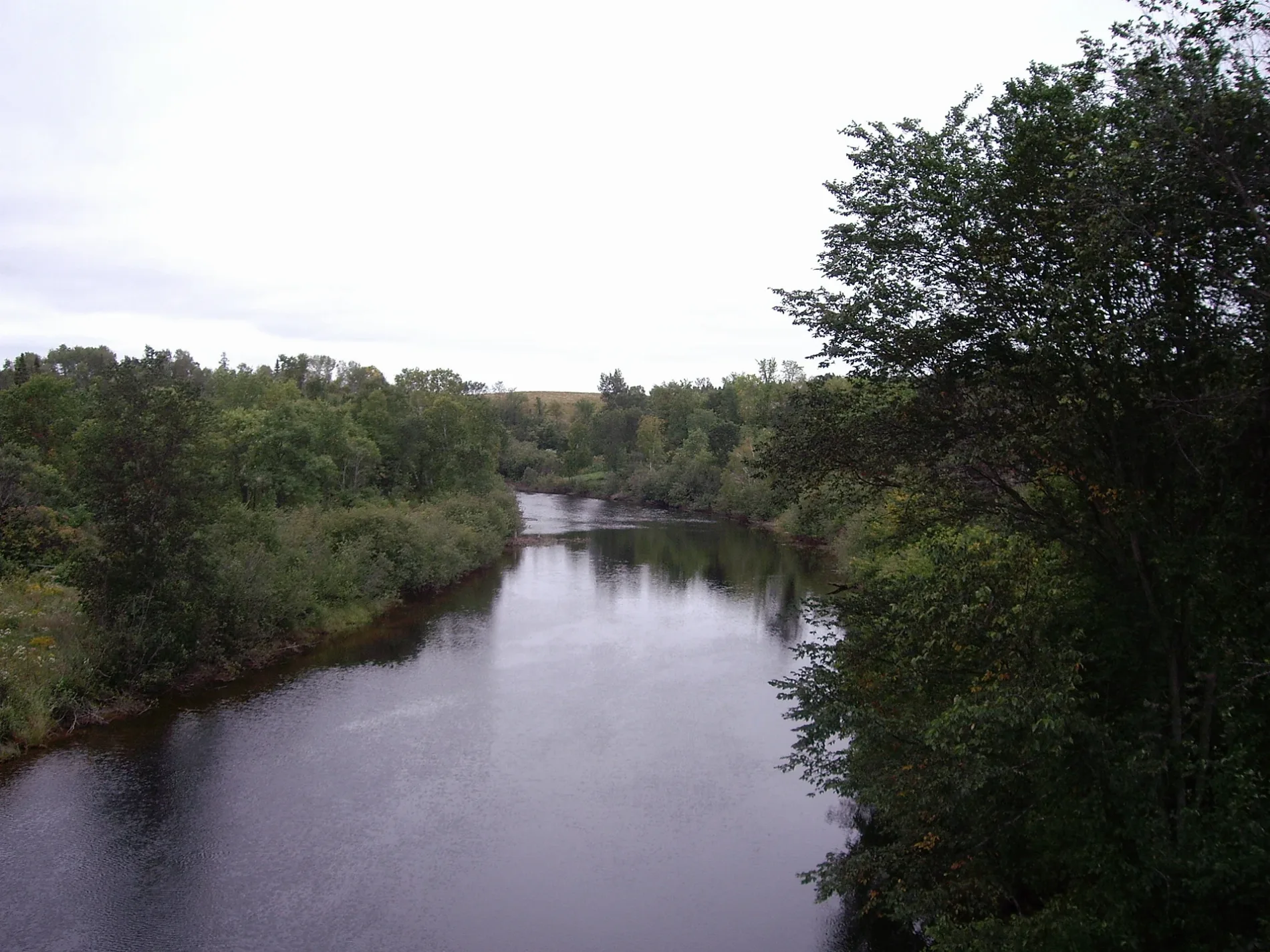
Magnetawan River in Armour, Ontario
Magnetawan River in Armour Township is a river. Magnetawan River also exists in Ryerson Township, Magnetawan, Whitestone, Perry Township and Unorganized Centre Parry Sound. Ⓦ.
- Waterway Type
- river
Image
Roads nearby
Spruce Lane600 m
Golf Course Road650 m
Browns Drive650 m
Horseshoe Lane700 m
Owl Lake Road1,4 km
Mag View Drive1,8 km
Snowshoe Lane2,0 km
Shady Lane2,1 km
Maple Lane2,1 km
Sunset Pass Road2,3 km
Highway 592Scotia, Clear Lake
2,4 km
Leggetts Road2,4 km
Doe Lake RoadKatrine
2,5 km
Cove Road2,5 km
Fawn Road2,6 km
Katrine Road2,7 km
Three Mile Lake Road2,7 km
Sunnylea Avenue3,0 km
Fawn Road North3,0 km
Sandy Cov Drive3,4 km
Melody Lane3,4 km
Melody Crescent3,4 km
Rat Lake Road3,6 km
Highway 113,7 km
Coyote Road3,8 km
Relative Road3,9 km
Tower Road3,9 km
Highway 5184,0 km
So Ho Mish Road4,0 km
Brogans Road4,1 km
Deer Lake Road4,1 km
Chetwynd RoadChetwynd
4,1 km
Amylee Drive4,2 km
Highway 518 West4,2 km
Old Government Road4,2 km
Horizon Road4,3 km
Blind Line4,3 km
Body of waters nearby
Beggsboro Creek1,2 km
Owl Lake2,5 km
Campsite nearby
Lillie Kup Campground750 m
Dams nearby
Watts Dam4,1 km
Golf courses nearby
Almaguin Highlands Golf & Country Club1,4 km
Picnic site nearby
Doe Lake Park1,3 km
Railway lines nearby
CN Newmarket Subdivision650 m
Other nearby
Birch Island3,5 km
Garden Island3,7 km
Pine Island3,8 km
Gameja Island3,9 km
Crescent Island3,9 km
| Length | 175 |
|---|---|
| Located in | Ontario |
| Country | Canada |
| Mouth | Byng Inlet |
| Tributary | North Magnetawan River, Jenkins Creek |
 Public transport map Armour Township Legend
| Railway | |
| Bus | |
| Tram |
 Cycling map Armour Township Legend
| Cycle path | |
| Cycle lane on road | |
| Cycling on bus lane | |
| Bicycle street | |
| Cyclists allowed | |
| Cyclists allowed, good surface | |
| No cycling | |
| Cobblestones |
| Long-distance cycle route | (depending on scale) | |
| Long-distance cycle route |
 Walking map Armour Township Legend
| Path |
| Long-distance hiking trail | (depending on scale) | |
| Long-distance hiking trail | ||
| No pedestrians |