
Magnetawan River in Whitestone, Ontario
Magnetawan River in Whitestone is a river. Magnetawan River also exists in Ryerson Township, Magnetawan, Armour Township, Perry Township and Unorganized Centre Parry Sound. Ⓦ.
- Waterway Type
- stream
Image
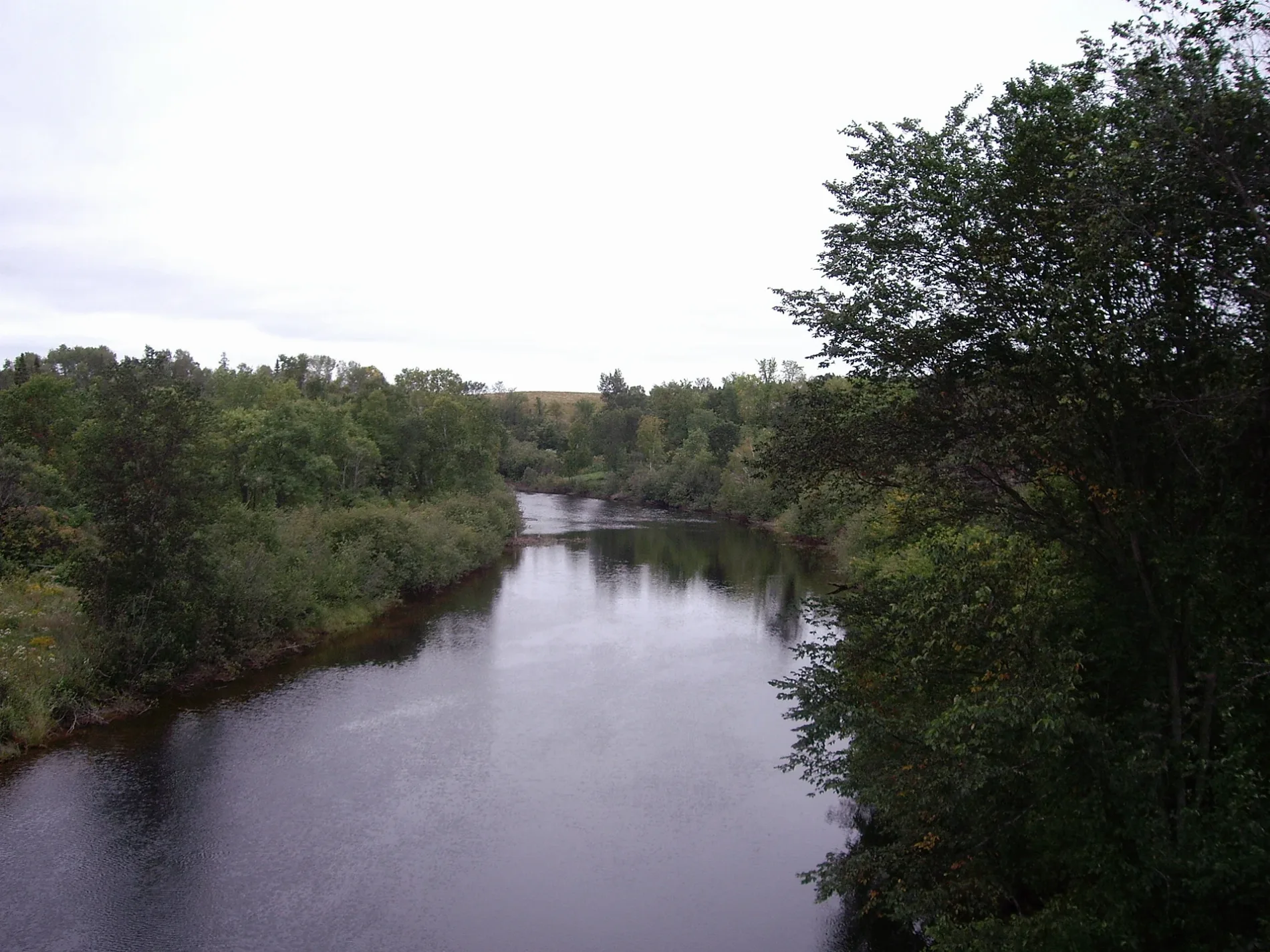
Roads nearby
Nelson Clelland Road200 m
Concession 13 & 14 Sideroad650 m
Highway 520Maple Island, Whitestone, Ardbeg
1,8 km
Nickel Cove Road2,2 km
Whitestone Lake Road2,5 km
Chur Lee Road2,6 km
Maple Island Road2,6 km
Gibson Bay Road2,7 km
Shady Maple Trail2,8 km
Creek Trail2,8 km
Golden Horseshoe Lane2,9 km
Lot 30 & 31 Sideroad2,9 km
Finn Road3,2 km
Bestwick CrescentMaple Island
3,3 km
Craig Lane3,4 km
North Meadowcove Road3,7 km
Deer Trail3,8 km
Langford Drive3,9 km
Ladds Road3,9 km
Moose Lane4,0 km
Thornton Lane4,0 km
Booth Road4,1 km
Lot 25 & 26 Sideroad4,2 km
Labrash Lake Road4,6 km
Sackville Street4,9 km
East Townline Road5,0 km
Boundary Spur Road5,0 km
Butler Street5,0 km
York Street5,0 km
Highway 124Dunchurch, Sunny Slope, Fairholme
5,1 km
William Street5,1 km
Thomson Glen5,2 km
Farleys Road5,3 km
Cooper Lane5,4 km
Bellview Crescent5,4 km
Marina Drive5,6 km
Minnow Lane5,6 km
Moore Drive5,6 km
Spring Road5,6 km
Quinn Road5,7 km
Ahmic StreetAhmic Harbour
5,7 km
Highway 124/5205,8 km
| Length | 175 |
|---|---|
| Located in | Ontario |
| Country | Canada |
| Mouth | Byng Inlet |
| Tributary | North Magnetawan River, Jenkins Creek |
 Public transport map Whitestone Legend
| Railway | |
| Bus | |
| Tram |
 Cycling map Whitestone Legend
| Cycle path | |
| Cycle lane on road | |
| Cycling on bus lane | |
| Bicycle street | |
| Cyclists allowed | |
| Cyclists allowed, good surface | |
| No cycling | |
| Cobblestones |
| Long-distance cycle route | (depending on scale) | |
| Long-distance cycle route |
 Walking map Whitestone Legend
| Path |
| Long-distance hiking trail | (depending on scale) | |
| Long-distance hiking trail | ||
| No pedestrians |