
Brock, Ontario
Brock is located in Durham Region. Around 11,642 people live here. Its area extends over around 423.7 square kilometres. Brock has around 1.002 streets. The region was founded in the year 1974. Brock is township municipality in Durham Region, Ontario, Canada. Among other things, Brock has public transport, restaurants, cafés, museums, banks, hairdressers and pharmacies. For more information, see www.townshipofbrock.ca.
Brock – Facts
| Inhabitants | 11.642 |
|---|---|
| Area | 423.7 km² |
| Inception | 1974 |
| Located in | Regional Municipality of Durham |
| Country | Canada |
| Website | https://www.townshipofbrock.ca/ |
Data source: Wikidata (CC0)
Photos from Brock
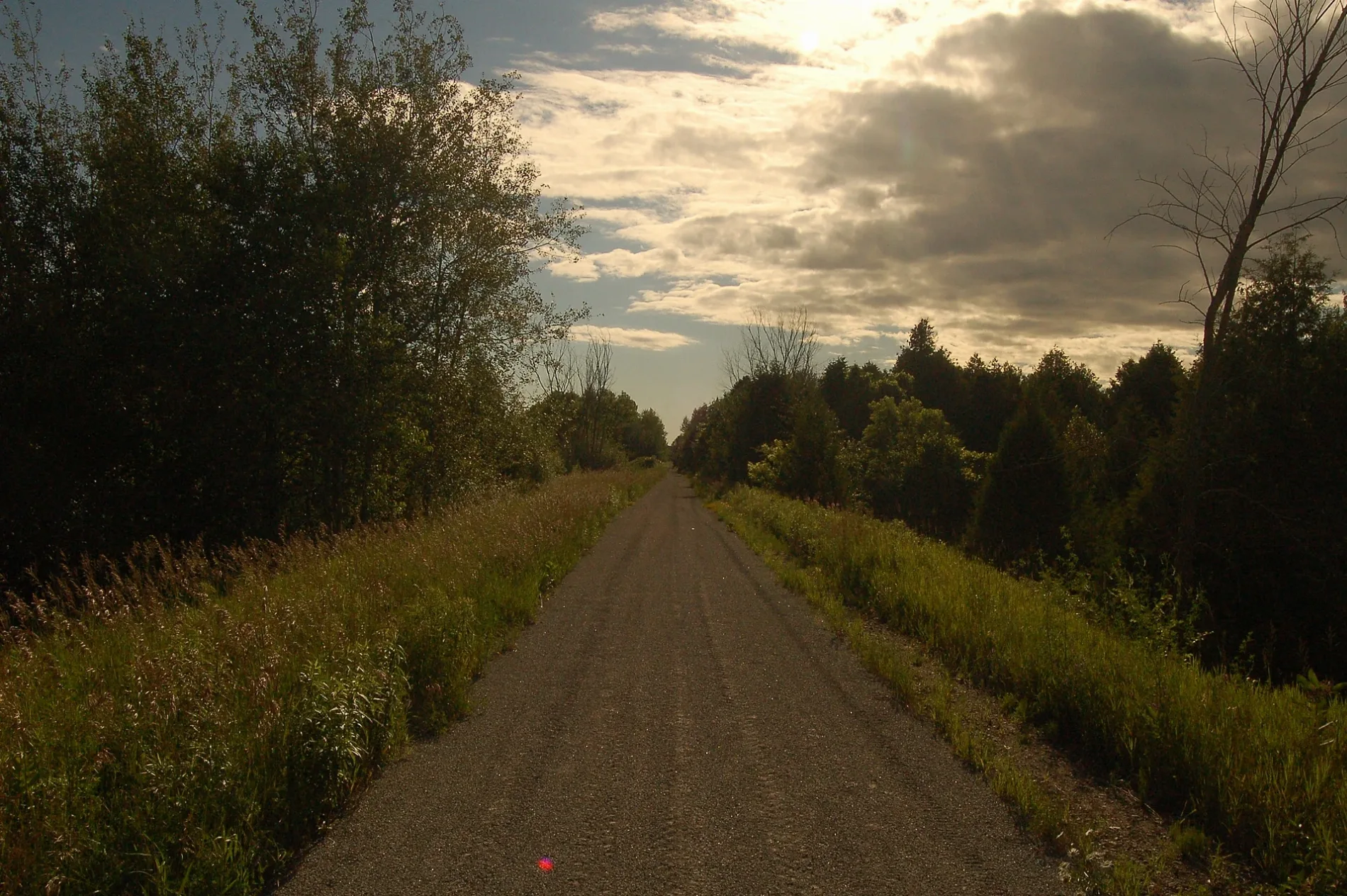
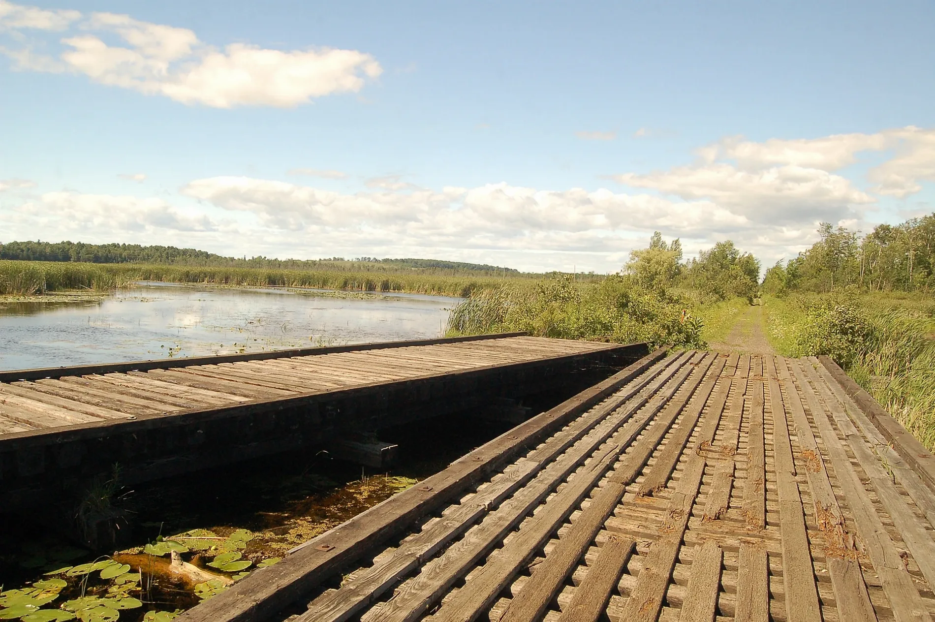
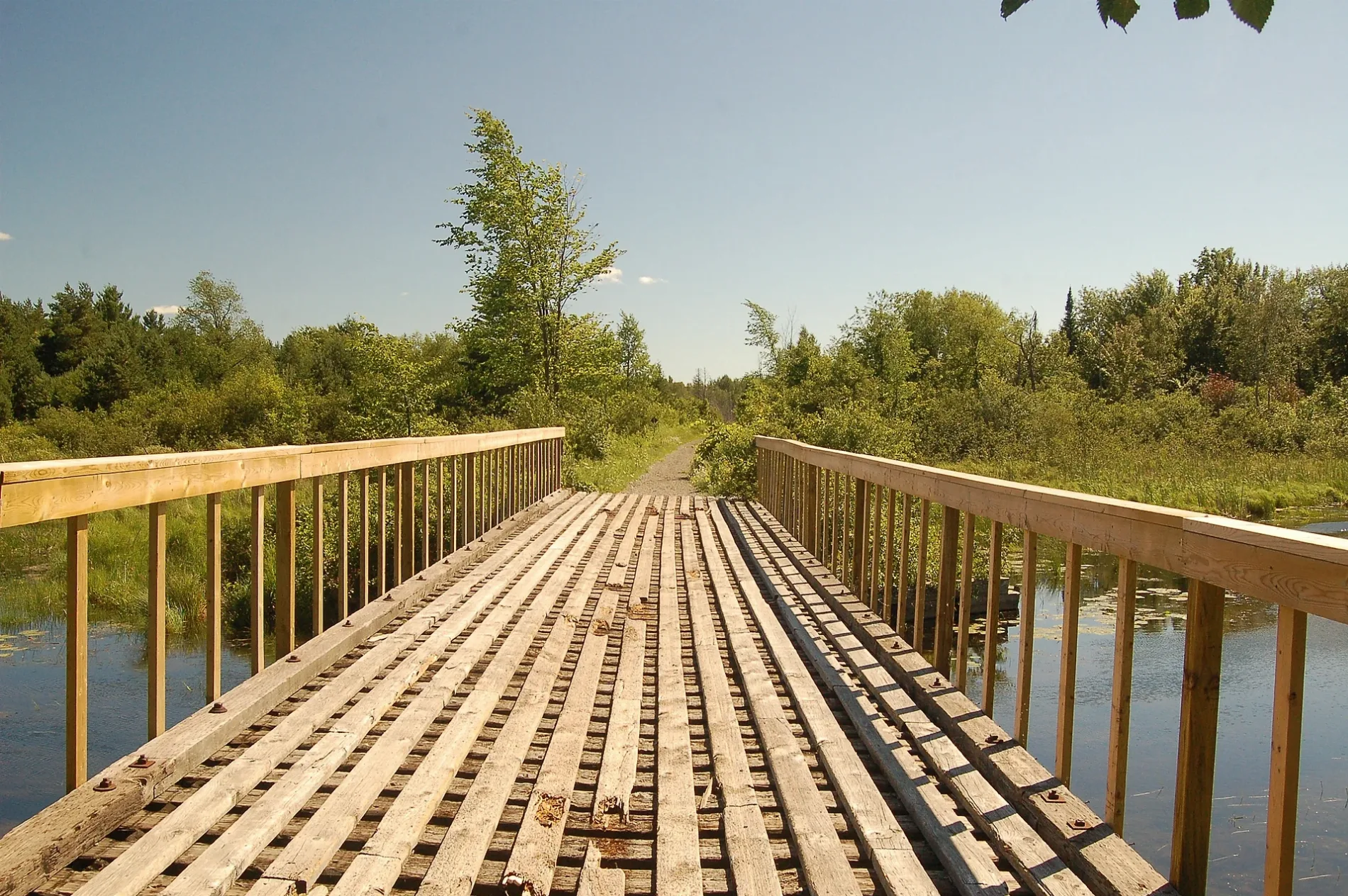
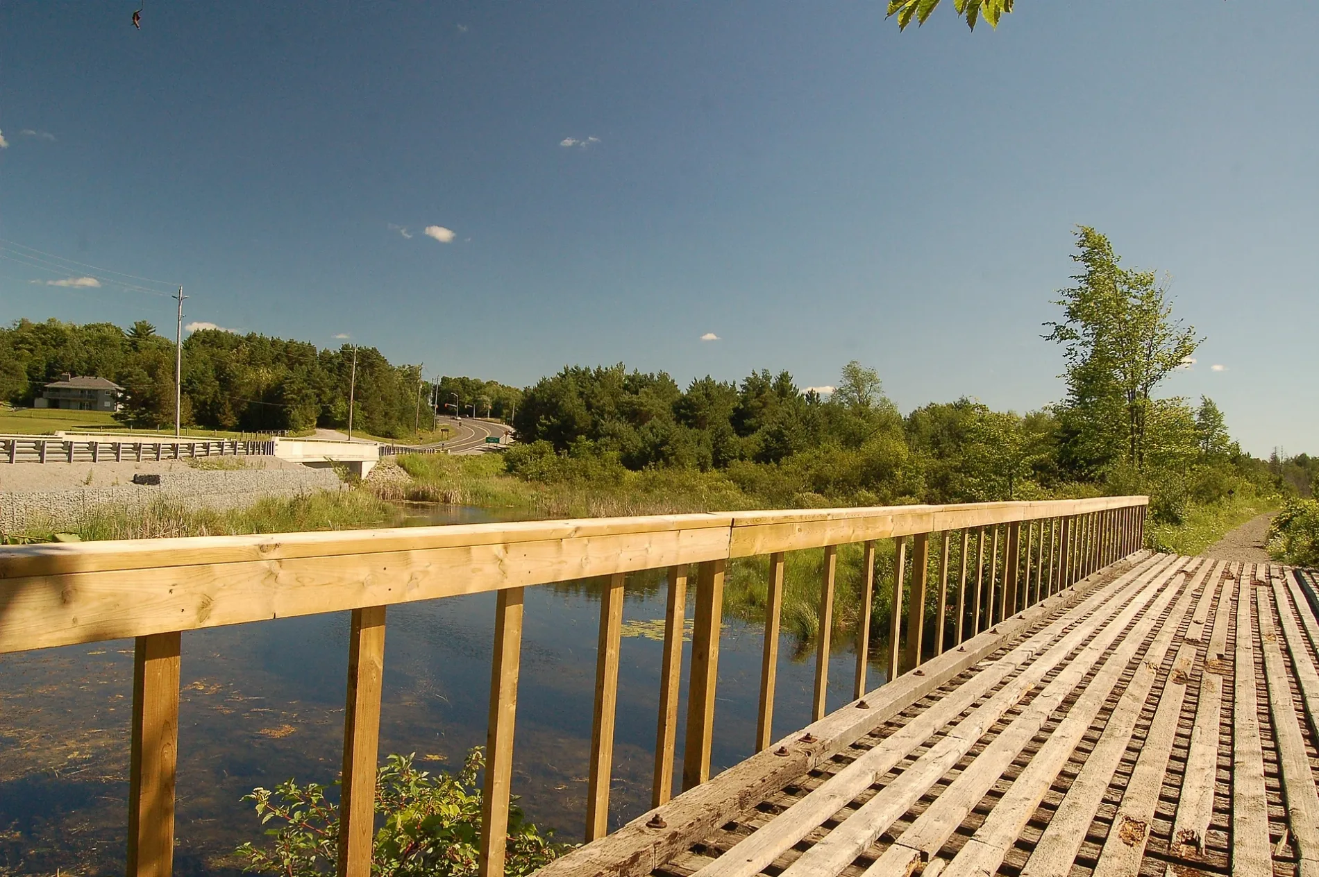

Brock
This City map of Brock in Ontario, Canada, shows the region’s streets, roads, paths and places. Brock is a township municipality in Durham Region, east of the Greater Toronto Area. Around 11,642 people live across an area of approximately 423.7 square kilometres. The municipality was founded in 1974 and forms part of the regional government area of Durham Region.
Data sources: OpenStreetMap (ODbL), Wikidata (CC0) · Image: Wikimedia Commons
Roads in Brock, Ontario
Roads
Abandoned railways
Cemeteries
Community centres
Parks
Petrol stations
Places of worship
Recreation grounds
School buildings
Social centres
Social facilities
Sports centres
Supermarkets
Veterinary practices
| Railway | |
| Bus | |
| Tram |
| Cycle path | |
| Cycle lane on road | |
| Cycling on bus lane | |
| Bicycle street | |
| Cyclists allowed | |
| Cyclists allowed, good surface | |
| No cycling | |
| Cobblestones |
| Long-distance cycle route | (depending on scale) | |
| Long-distance cycle route |
| Path |
| Long-distance hiking trail | (depending on scale) | |
| Long-distance hiking trail | ||
| No pedestrians |