
Scugog, Ontario
Scugog is located in Durham Region. Around 21,617 people live here. Its area extends over around 474.7 square kilometres. Scugog has around 1.252 streets. The region was founded in the year 1974. Scugog is township in Durham Region, Ontario, Canada. Among other things, Scugog has public transport, restaurants, cafés, supermarkets, clothing stores, schools, banks, hairdressers, dentists, doctors and pharmacies.
Scugog – Facts
| Inhabitants | 21617 |
|---|---|
| Area | 474.7 km² |
| Inception | 1974 |
| Located in | Regional Municipality of Durham |
| Country | Canada |
| Website | http://www.scugog.ca |
Data source: Wikidata (CC0)
Photos from Scugog
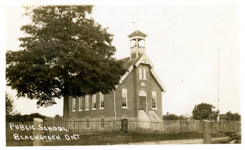
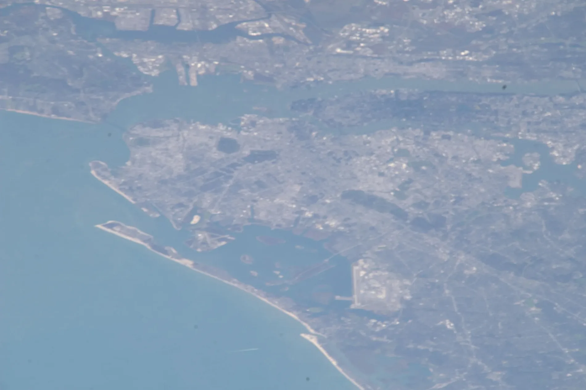
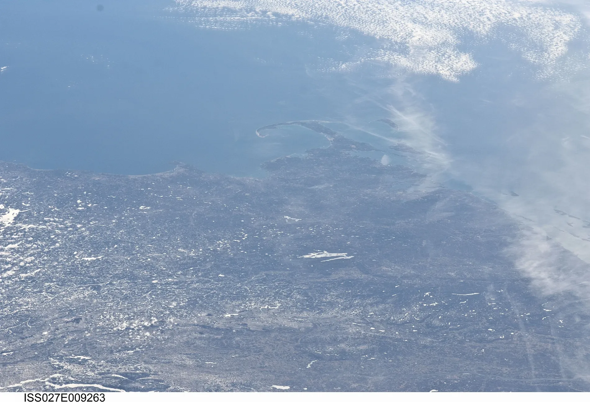
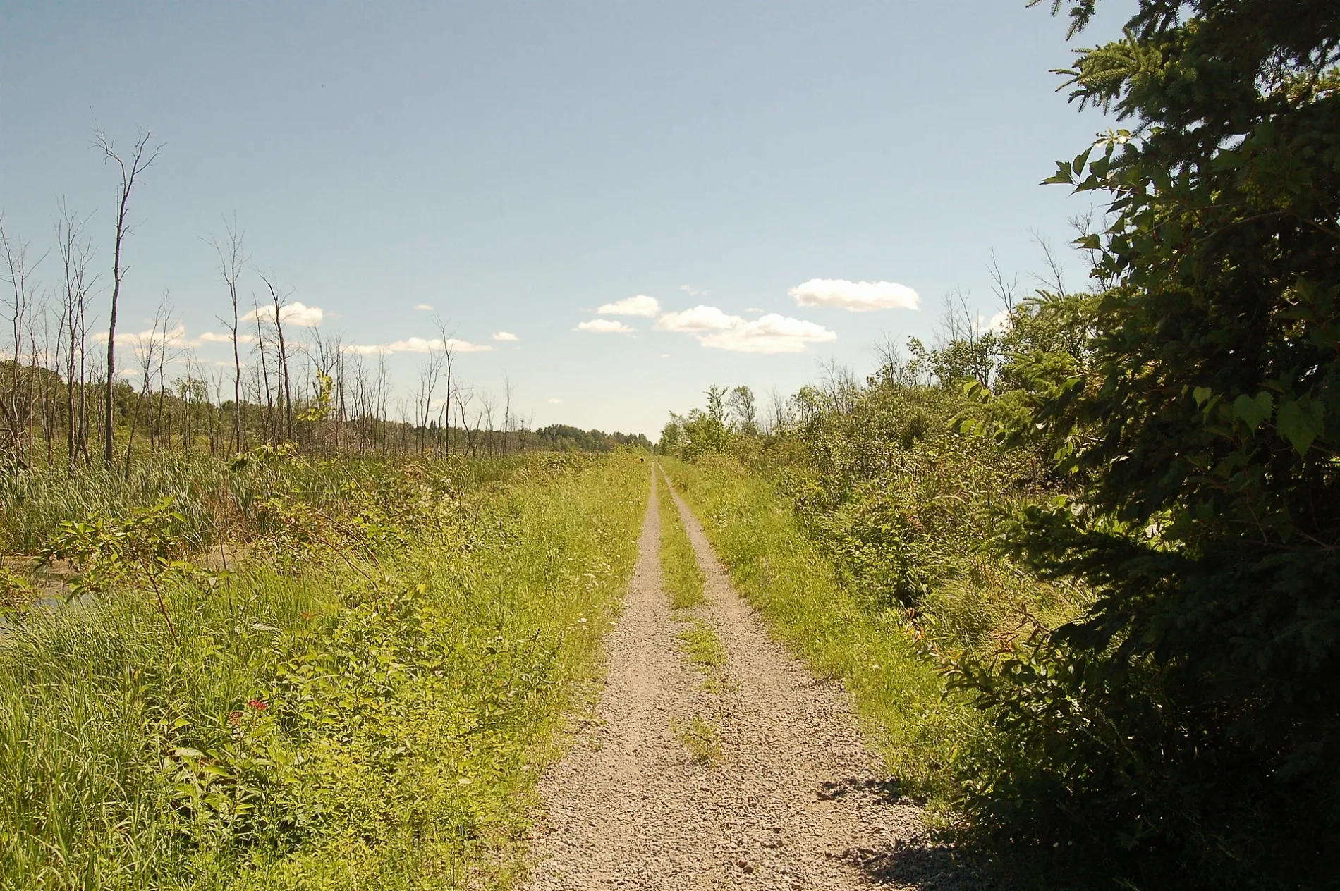
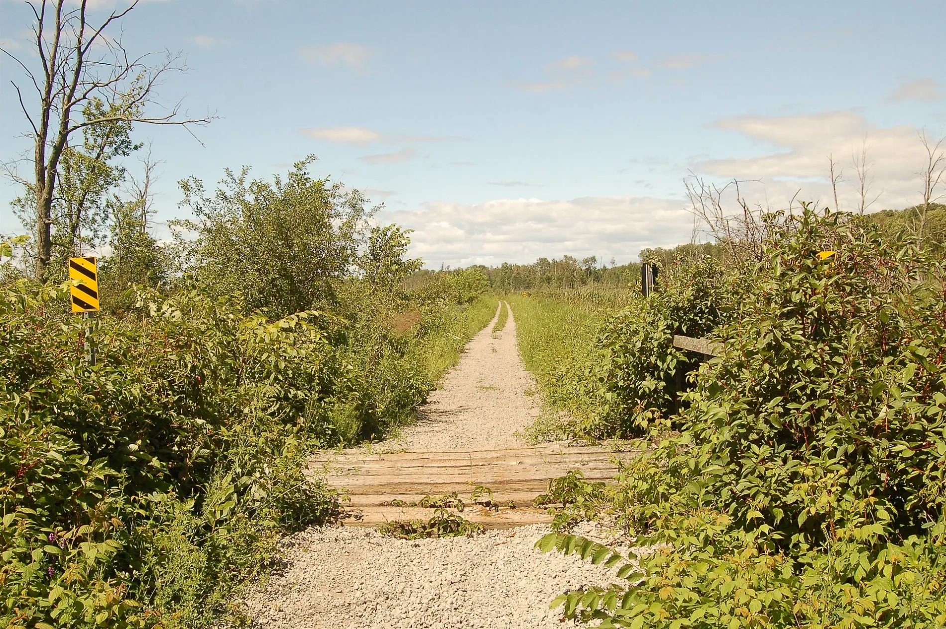


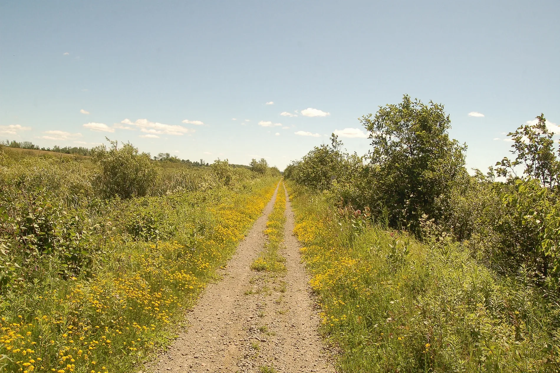

Scugog
This City map of Scugog shows the township’s streets, paths and places in Durham Region, Ontario, Canada. Scugog covers approximately 474.7 square kilometres and had around 21,617 residents. The township was established in 1974 and includes the community of Port Perry on the shores of Lake Scugog. Its territory lies within the Regional Municipality of Durham, east of the Greater Toronto Area.
Data sources: OpenStreetMap (ODbL), Wikidata (CC0) · Image: Wikimedia Commons
Roads in Scugog, Ontario
Roads
Brownfields
Cafés
Campsite
Community centres
Petrol stations
Places of worship
Restaurants
Streams
| Railway | |
| Bus | |
| Tram |
| Cycle path | |
| Cycle lane on road | |
| Cycling on bus lane | |
| Bicycle street | |
| Cyclists allowed | |
| Cyclists allowed, good surface | |
| No cycling | |
| Cobblestones |
| Long-distance cycle route | (depending on scale) | |
| Long-distance cycle route |
| Path |
| Long-distance hiking trail | (depending on scale) | |
| Long-distance hiking trail | ||
| No pedestrians |