
Concord Street South in Capital Ward
Concord Street South in Ottawa is a two-lane, asphalted residential street (30 km/h). The road has sidewalks. It runs in a southeast-northwest direction starting from Lees Avenue and crosses Evelyn Avenue and ends at Springhurst Avenue.
- Road Type
- residential street
- Lanes
- 2
- Speed Limit
- 30
- Route
- southeast-northwest
Image
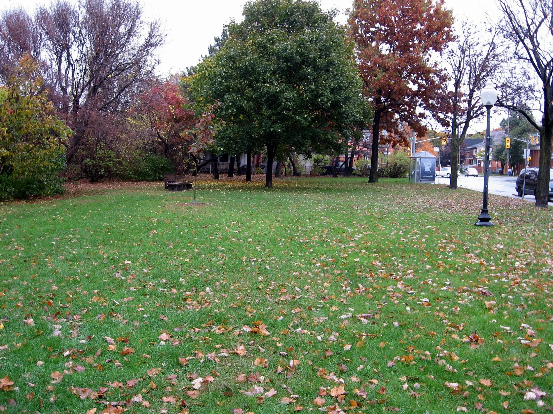
Bus stops
Roads nearby
Lees AvenueLees / Brunswick, 180 Food Market, Lees Market, Kouzina Pizza, Unisex Hair Studio, Lees B, Lees, Lees A, Lees / Rosemere, Lees / Main, Lees / Ramp, K&W Shawarma & Restaurant, Sibelle Salon, Giant Panda, Cosmo Mart, Medina Fried Chicken, Lees / Concord
50 m
Simcoe Street150 m
Rosemere Avenue150 m
Evelyn AvenueRainbow Kidschool
200 m
Chestnut Street200 m
Highway 417Lees O-Train East/Est, Lees O-Train West/Ouest
200 m
Springhurst AvenueLaurier Optical
250 m
Concord Street North250 m
Sanctuary Private300 m
Oblats AvenueMain / Oblats, Happy Goat Coffee, Oblats / Main, River Dental, Xing Fu Tang
300 m
Parish Private300 m
Graham AvenueRiverside Montessori Pre-School, Main / Graham
350 m
Hawthorne AvenueHawthorne / Main, Grey Jay Hospitality, Hawthorne / Colonel By
350 m
Rideau River Nature Trail400 m
Grande AlléeRiverbank Dental, Tartelette Bakery & Café, JFUSE Aburi & Bar
500 m
Deschâtelets Avenue500 m
Hazel StreetU St Paul U, The Green Door Restaurant, Post Office, Watsons
500 m
Mazenod Avenue550 m
Allotment gardens nearby
Ottawa East Community Garden600 m
Apartment buildings nearby
Le Marquis300 m
Sœurs du Sacré-Cœur-de-Jésus300 m
Greystone Village Retirement350 m
Ballantyne Luxury Apartments400 m
The Corners On Main400 m
Milieu Modern Apartments450 m
The River Terraces II500 m
The Spencer500 m
Banks nearby
Scotiabank300 m
Beauty salons nearby
Love your Skin300 m
Only You Esthetics350 m
Bicycle shops nearby
Phat Moose Cycles350 m
Clinics nearby
Ottawa River Psychology400 m
Main Chiropractic Clinic550 m
Commercial buildings nearby
EQ Homes/ Regional Group Sales Office500 m
Main Medical Centre550 m
Community centres nearby
Old Town Hall Community Centre300 m
Convenience stores nearby
Dixie Dairy300 m
Fast food restaurants nearby
Habibi Pizza & Pies300 m
Hairdresser's nearby
Main Haircutters300 m
Parks nearby
Montgomery Memorial Park250 m
Ballantyne Park350 m
Pet shops nearby
Furry Friends350 m
Places of worship nearby
Peace Latvian Evangelical Lutheran Church300 m
Calvary Baptist Church300 m
Ottawa Chinese Bible Church350 m
Canadian Martyrs Church350 m
Playgrounds nearby
Splash Pad - Montgomery Memorial Park300 m
Residential areas nearby
Greystone Village300 m
Restaurants nearby
Sula Wok500 m
Public transport map Capital Legend
| Railway | |
| Bus | |
| Tram |
Cycling map Capital Legend
| Cycle path | |
| Cycle lane on road | |
| Cycling on bus lane | |
| Bicycle street | |
| Cyclists allowed | |
| Cyclists allowed, good surface | |
| No cycling | |
| Cobblestones |
| Long-distance cycle route | (depending on scale) | |
| Long-distance cycle route |
Walking map Capital Legend
| Path |
| Long-distance hiking trail | (depending on scale) | |
| Long-distance hiking trail | ||
| No pedestrians |