
Concord Street North in Capital Ward
Concord Street North in Ottawa is a two-lane, asphalted residential street (30 km/h). The road has sidewalks. It runs in a southeast-northwest direction starting from Echo Drive and crosses Kings Landing Private, Greenfield Avenue, Montcalm Street and Havelock Street and ends at Harvey Street.
- Road Type
- residential street
- Lanes
- 2
- Speed Limit
- 30
- Route
- southeast-northwest
Image
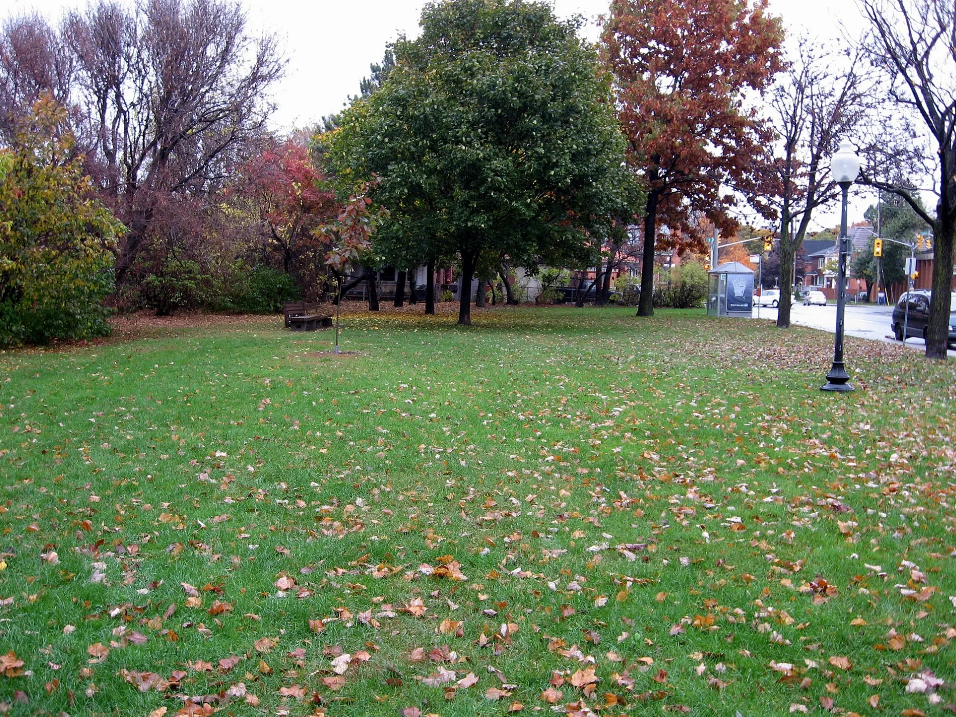
Kindergarten
Bus stops
Roads nearby
Highway 417Lees O-Train East/Est, Lees O-Train West/Ouest
100 m
Havelock Street100 m
Concord Street South150 m
Wolfe Lane150 m
Montcalm Street200 m
Lees AvenueLees / Brunswick, 180 Food Market, Lees Market, Kouzina Pizza, Unisex Hair Studio, Lees B, Lees, Lees A, Lees / Rosemere, Lees / Main, Lees / Ramp, K&W Shawarma & Restaurant, Sibelle Salon, Giant Panda, Cosmo Mart, Medina Fried Chicken, Lees / Concord
250 m
Echo DriveFlora Footbridge
300 m
Kings Landing Private300 m
Colonel By Drive300 m
Simcoe Street350 m
Rosemere Avenue350 m
Hawthorne AvenueHawthorne / Main, Grey Jay Hospitality, Hawthorne / Colonel By
350 m
Evelyn AvenueRainbow Kidschool
350 m
Chestnut Street350 m
Delaware Stairs350 m
Greenfield AvenueHBK Hair Concepts
350 m
Graham AvenueRiverside Montessori Pre-School, Main / Graham
400 m
Main StreetMain / Lees, Prim Barber Shop, Main / Oblats, The Organic Salon, Communauto #25, Main / Bower, Main / Beckwith, Main / Herridge, Main2, Main / Evelyn, 3 Trees, Main / Hazel, Café Qui Pense, Singing Pebble Books, Vespa Wine Bar, Greens & Beans, NU Grocery, Pharmasave, Subway, Main / Clegg, Main / Graham
400 m
Rideau Canal Eastern PathwayBridging an Expanding City
400 m
Mann AvenueSugar & Slice, Asal Restaurant, Brooklyn Hair, Jerkies Chicken, Barwaaqo Food Centre, Chelia, Quickie, Mann / Chapel, Mann / Goulbourn, Mann Visitor Parking
500 m
Waverley Stairs500 m
King Edward AvenueUoO Taxi Stand #4, King Edward / Templeton, Celebration of Growth, Dollarama, King Edward/St-Patrick, King Edward / Guiges, King Edward / Cathcart, Nox Restaurant/Pub, Minto Sports Complex, Communauto #109, King Edward / Murray, King Edward / Laurier, King Edward / Stewart, King Edward / St-Andrew, Campus Map, King Edward / Osgoode, King Edward/Osgoode, King Edward / George, La Nouvelle Scène
600 m
Buildings nearby
45 Mann Residence550 m
Apartment buildings nearby
The Glassworks250 m
Echo On Canal300 m
Le Marquis350 m
Art galleries nearby
Studio 50300 m
Banks nearby
Scotiabank350 m
Beauty salons nearby
Only You Esthetics350 m
Bicycle shops nearby
Phat Moose Cycles350 m
Buildings nearby
Electrical Contractors Association of Ottawa250 m
Canals nearby
Rideau Canal450 m
Community centres nearby
Old Town Hall Community Centre300 m
Fast food restaurants nearby
Habibi Pizza & Pies350 m
Furniture shops nearby
The Emporium250 m
Hairdresser's nearby
Main Haircutters350 m
Light rail lines nearby
Confederation Line450 m
Parks nearby
Montgomery Memorial Park300 m
Ballantyne Park350 m
Sandy Hill Arena500 m
Pet shops nearby
Furry Friends400 m
Places of worship nearby
Peace Latvian Evangelical Lutheran Church350 m
Playgrounds nearby
Splash Pad - Montgomery Memorial Park300 m
Residential areas nearby
Parkview Court200 m
The Brownstones on the Canal250 m
Sports centres nearby
Minto Sports Complex550 m
Sports pitches nearby
Ball Diamond600 m
University buildings nearby
SITE500 m
Colonel By Building550 m
Public transport map Capital Legend
| Railway | |
| Bus | |
| Tram |
Cycling map Capital Legend
| Cycle path | |
| Cycle lane on road | |
| Cycling on bus lane | |
| Bicycle street | |
| Cyclists allowed | |
| Cyclists allowed, good surface | |
| No cycling | |
| Cobblestones |
| Long-distance cycle route | (depending on scale) | |
| Long-distance cycle route |
Walking map Capital Legend
| Path |
| Long-distance hiking trail | (depending on scale) | |
| Long-distance hiking trail | ||
| No pedestrians |