
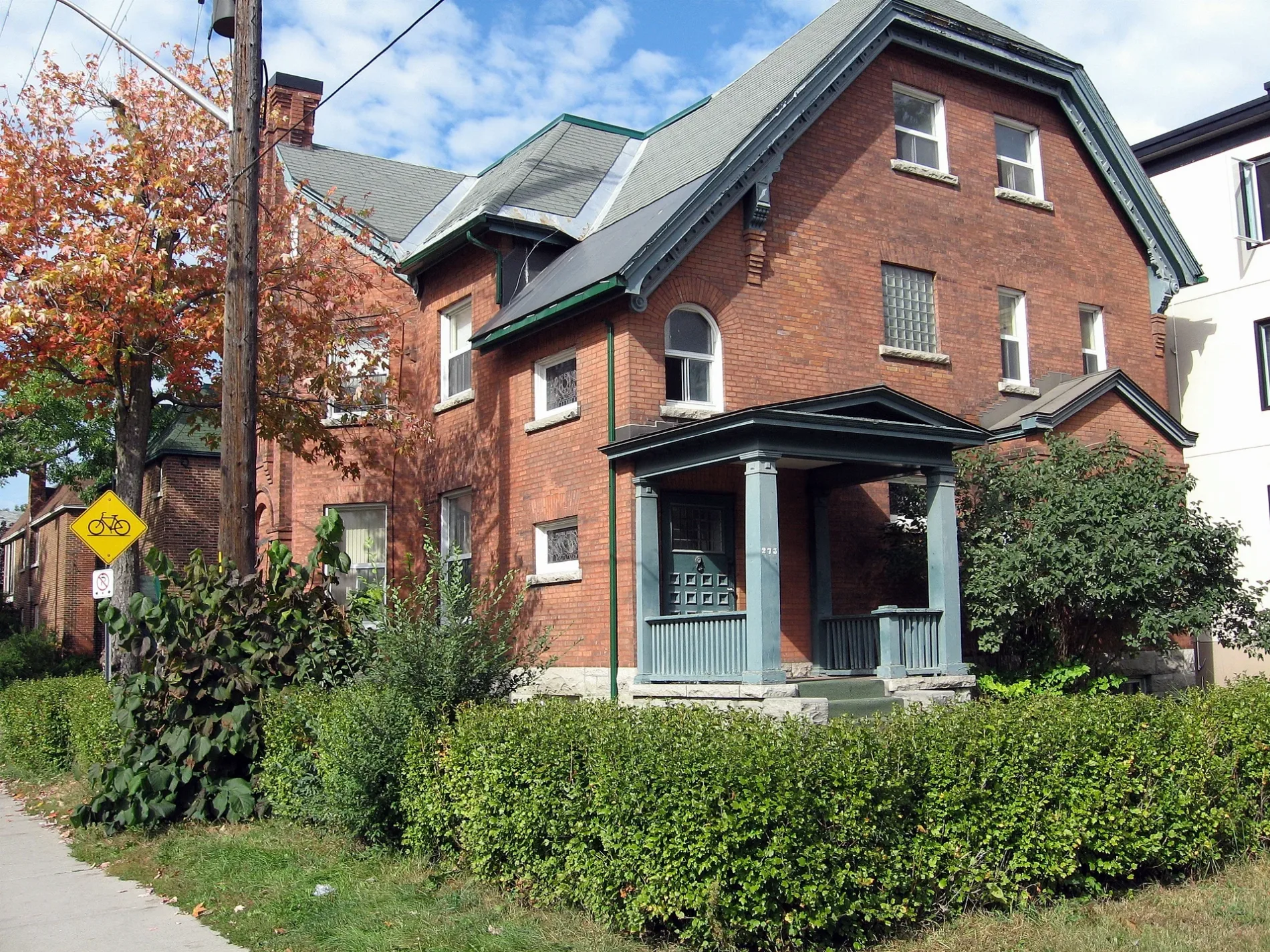
King Edward Avenue in Rideau-Vanier, Ottawa, Ontario
King Edward Avenue in Ottawa is a two-lane, asphalted main road (40 km/h). The road has partly a sidewalk. It runs in a southeast-northwest direction and crosses Templeton Street, Marie-Curie Private, Somerset Street East, Osgoode Street, Thomas More Private, Laurier Avenue East, Wilbrod Street, Stewart Street, Daly Avenue, Besserer Street, Rideau Street and George Street. It ends in a cul-de-sac. In the vicinity, you can find among other things 2 tourist information offices, an artwork, a variety store and a restaurant. The nearest stops include King Edward/St-Patrick, King Edward / Guiges, King Edward / Cathcart, King Edward / Murray and King Edward / Laurier. The bus lines 11, 39, 45 and 56 serve this stop.
- Road Type
- main road
- Lanes
- 2
- Speed Limit
- 40
- Route
- southeast-northwest
Image
Variety stores
Car sharing stations
Theatres
Bus stops
- bus lines 11, 39, 45, 56
Roads nearby
Nelson StreetCommunauto #113, Thee Chip Shoppe, Loblaw Pharmacy
200 m
Daly AvenueSwiss Hotel, Daly / Nicholas, Le Germain Hotel Ottawa, Norca Restaurant & Bar, Sandy Hill Dental Centre, Communauto #03
200 m
Besserer StreetRideau Barber Shop, Bastien & Prizant Optometry, Browns, Besserer Dental Centre, Joe's Sport Barber Shop, The Church of the Messiah, Dash Vapes, Merry Marry, Communauto #94, Avant-Garde Bar, iTan
300 m
Friel StreetPeriodontal Associates in Sandy Hill, Domino's, I.D.A.
300 m
Little London Private350 m
Buildings nearby
Friel Residence300 m
Allotment gardens nearby
Oasis Food Growing Project250 m
Apartment buildings nearby
Theo Residence100 m
Muze100 m
Claude Building150 m
The Lanesborough150 m
The Astro Condo150 m
Alma150 m
The Galleria II150 m
The Galleria200 m
Claridge Plaza 3200 m
Claridge Plaza 4200 m
Cascade Apartments250 m
180 Beausoleil Dr.300 m
The Statesman300 m
The King Edward300 m
Stewart Towers350 m
Deauville Apartments350 m
Friel Towers350 m
Buildings nearby
George Street Centre: Elsie Chan Building150 m
The Depot200 m
Car repair shops nearby
Spark Auto250 m
Cinemas nearby
Bytowne Cinema100 m
Clinics nearby
Sandy Hill Community Health Centre200 m
Community centres nearby
Lowertown Good Neighbours Community House400 m
Convenience stores nearby
Super Stop50 m
Fast food restaurants nearby
Pizza Pizza150 m
Guest house nearby
McGee's Inn200 m
Belle Notte Bed&Breakfast250 m
Gold Door Inn250 m
Hostel nearby
Barefoot Hostel250 m
Hotels nearby
Rideau Residence50 m
Days Inn Downtown Ottawa150 m
Kindergartens nearby
George Street Centre100 m
Libraries nearby
Ottawa Public Library - Rideau Branch250 m
Off-licences nearby
LCBO50 m
Petrol stations nearby
Petro-Canada100 m
Places of worship nearby
Église adventiste du septième jour francophone d'Ottawa100 m
St. Alban's Anglican Church (Ottawa)200 m
Restaurants nearby
Cumberland pizza200 m
Service buildings nearby
Bell Canada Ottawa Rideau OTWAON12DS0350 m
Sports centres nearby
Champagne Bath Pool250 m
Supermarkets nearby
Loblaws200 m
Theatres nearby
Ottawa Little Theatre150 m
 Public transport map Rideau-Vanier Legend
| Railway | |
| Bus | |
| Tram |
 Cycling map Rideau-Vanier Legend
| Cycle path | |
| Cycle lane on road | |
| Cycling on bus lane | |
| Bicycle street | |
| Cyclists allowed | |
| Cyclists allowed, good surface | |
| No cycling | |
| Cobblestones |
| Long-distance cycle route | (depending on scale) | |
| Long-distance cycle route |
 Walking map Rideau-Vanier Legend
| Path |
| Long-distance hiking trail | (depending on scale) | |
| Long-distance hiking trail | ||
| No pedestrians |