
Laurier Avenue East in Rideau-Vanier, Ottawa, Ontario
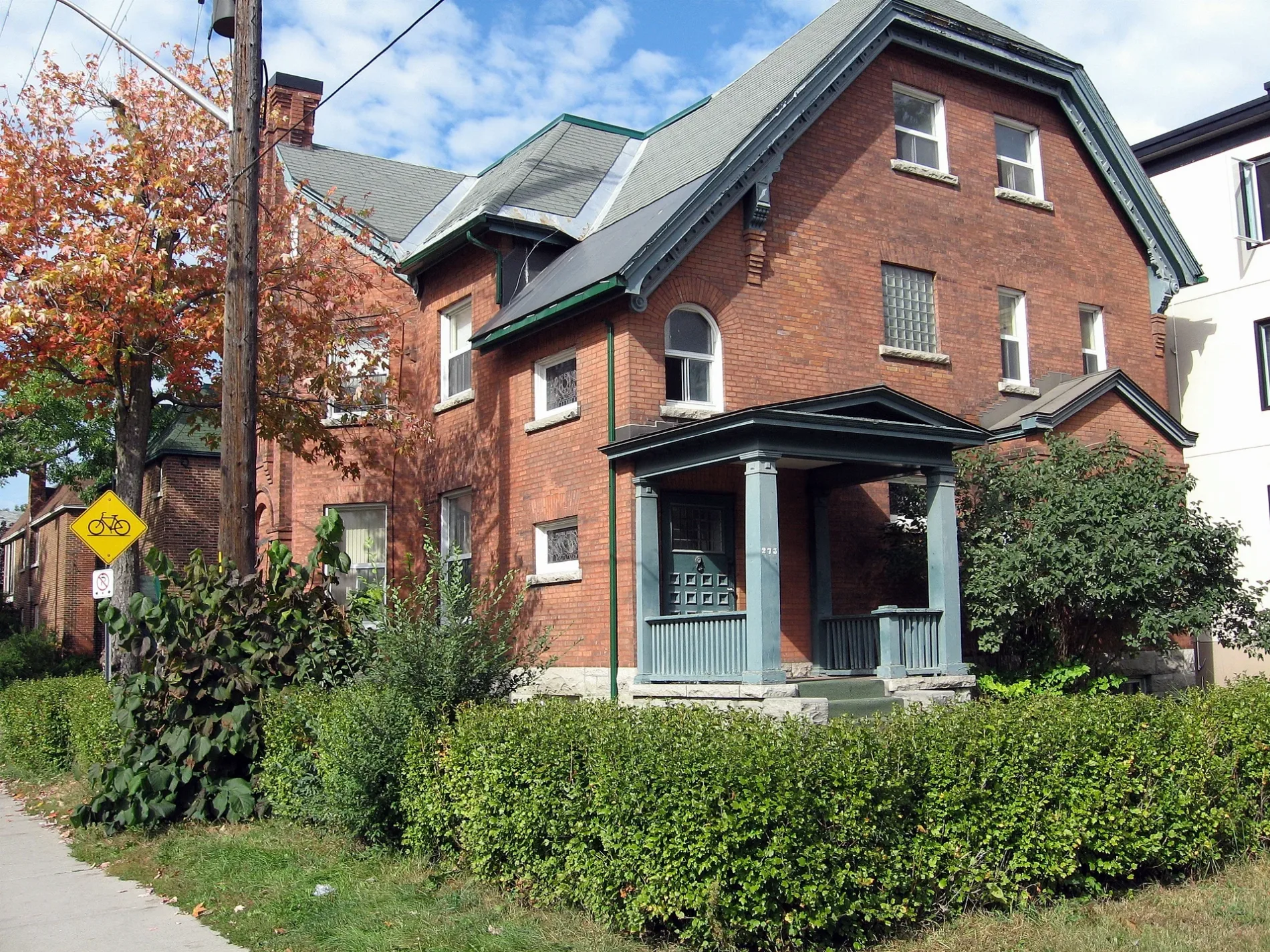
Laurier Avenue East in Ottawa is a two-lane, asphalted, lit secondary road (50 km/h). The road has sidewalks as well as parking spaces (parallel parking). It runs in a northeast-southwest direction starting from Laurier Avenue West and crosses Nicholas Street, Transitway, Waller Street South, University Private, Cumberland Street, Copernicus Street, Ring Lane, King Edward Avenue, Henderson Avenue, Nelson Street and Sweetland Avenue. It ends in a cul-de-sac and connects Rideau-Vanier and Somerset. This road is part of the long-distance road "48" and the bicycle route "Crosstown Bikeway 2". In the vicinity, you can find among other things 8 fast food restaurants, 5 cafés, 2 restaurants and 2 hairdressers. The nearest stops include Laurier E / King Edward, Laurier E / Cumberland, Laurier / Cumberland, Laurier E / Waller and Laurier / Chapel. The bus lines 5, 19, 39 and 45 serve this stop.
- Road Type
- tertiary road
- Lanes
- 2
- Route
- northeast-southwest
Image
Cafés
Artwork
Stationery shops
Car sharing stations
Bus stops
- bus lines 5, 19, 39, 45
Fast food restaurants
Restaurants
Convenience stores
Hairdressers
Charity shops
Roads nearby
Ring LaneBuildings nearby
Hyman Soloway ResidenceApartment buildings nearby
Sandy Hill ManorBuildings nearby
Community Legal ClinicCommercial buildings nearby
Embassy of the Republic of IraqDormitories nearby
LeBlanc ResidenceFast food restaurants nearby
Le Bac a FritesFire stations nearby
Ottawa Fire Station 13Grass nearby
Tabaret LawnGuest house nearby
The King Edward Bed & BreakfastHouses nearby
Cumberland Rooming HousePlaces of worship nearby
St. Paul LutheranRestaurants nearby
Flour KitchenUniversity buildings nearby
Development Office| Railway | |
| Bus | |
| Tram |
| Cycle path | |
| Cycle lane on road | |
| Cycling on bus lane | |
| Bicycle street | |
| Cyclists allowed | |
| Cyclists allowed, good surface | |
| No cycling | |
| Cobblestones |
| Long-distance cycle route | (depending on scale) | |
| Long-distance cycle route |
| Path |
| Long-distance hiking trail | (depending on scale) | |
| Long-distance hiking trail | ||
| No pedestrians |