
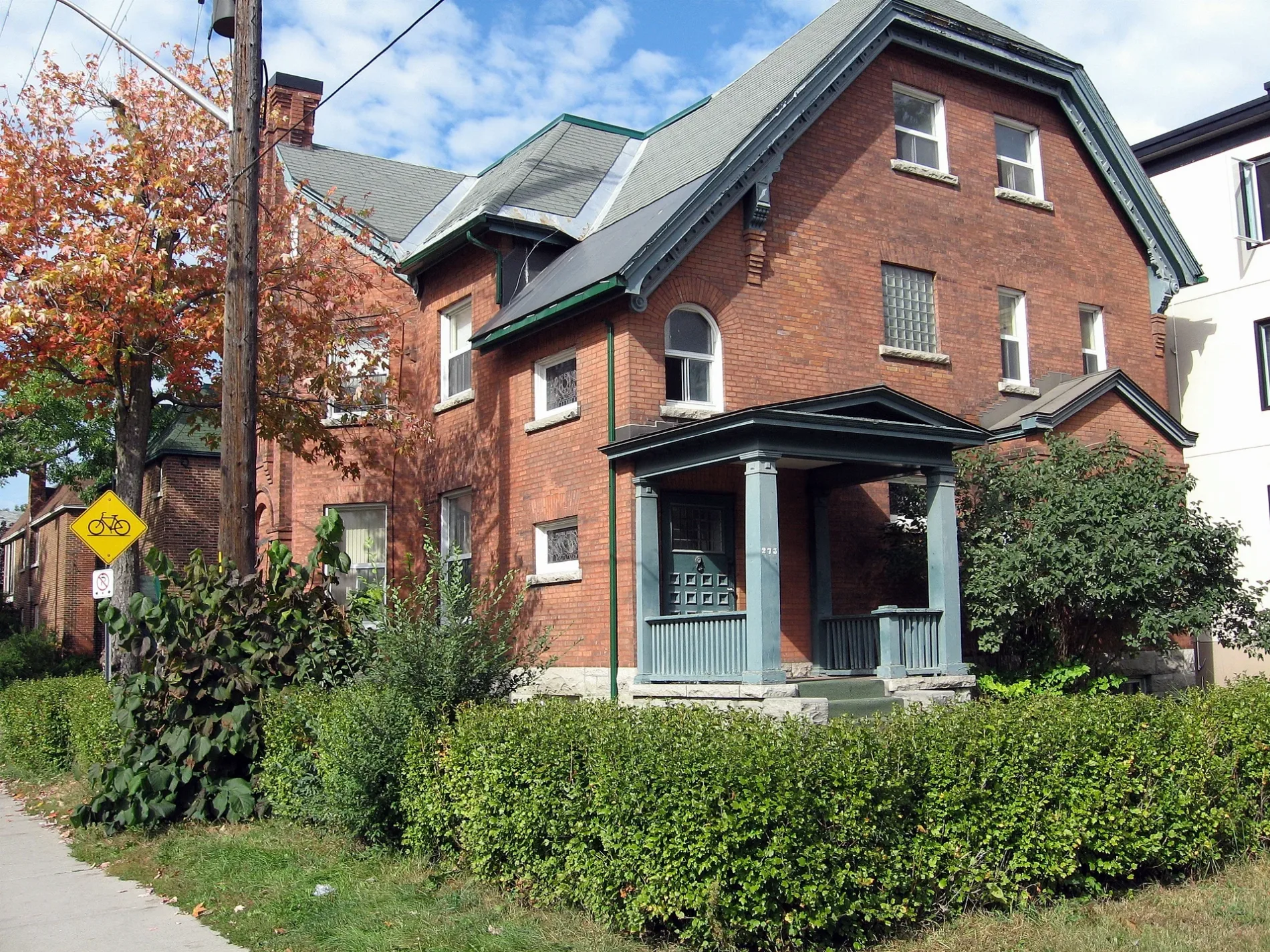
Nelson Street in Rideau-Vanier, Ottawa, Ontario
Nelson Street in Ottawa is a two-lane, asphalted residential street (30 km/h). The road has sidewalks. It runs in a southeast-northwest direction starting from Besserer Street and crosses Daly Avenue, Stewart Street, Wilbrod Street, Laurier Avenue East, Osgoode Street and Somerset Street East and ends at Templeton Street. In the vicinity, you can find a car sharing station, a fast food restaurant and a pharmacy. The nearest bus stop in the vicinity is King Edward / Stewart (approx. 150 m away). Nelson Street also exists in Stormont, Dundas and Glengarry Counties.
- Road Type
- residential street
- Lanes
- 2
- Speed Limit
- 30
- Route
- southeast-northwest
Image
Car sharing stations
Pharmacy
Roads nearby
Daly AvenueSwiss Hotel, Daly / Nicholas, Le Germain Hotel Ottawa, Norca Restaurant & Bar, Sandy Hill Dental Centre, Communauto #03
200 m
Besserer StreetRideau Barber Shop, Bastien & Prizant Optometry, Browns, Besserer Dental Centre, Joe's Sport Barber Shop, The Church of the Messiah, Dash Vapes, Merry Marry, Communauto #94, Avant-Garde Bar, iTan
200 m
Friel StreetPeriodontal Associates in Sandy Hill, Domino's, I.D.A.
350 m
King Edward AvenueLa Nouvelle Scène, King Edward / George, Celebration of Growth, Dollarama, King Edward/St-Patrick, King Edward / Guiges, King Edward / Cathcart, Nox Restaurant/Pub, Minto Sports Complex, Communauto #109, King Edward / Murray, King Edward / Laurier, King Edward / Stewart, King Edward / St-Andrew, Campus Map, UoO Taxi Stand #4, King Edward / Templeton, King Edward / Osgoode, King Edward/Osgoode
400 m
Little London Private500 m
Buildings nearby
Friel Residence300 m
Allotment gardens nearby
Oasis Food Growing Project200 m
Apartment buildings nearby
The Statesman50 m
Stewart Towers50 m
Cascade Apartments150 m
The King Edward200 m
The Lanesborough200 m
Claude Building200 m
The Galleria II250 m
Deauville Apartments250 m
The Galleria300 m
The Astro Condo300 m
Theo Residence300 m
Alma350 m
Muze350 m
Claridge Plaza 4400 m
Friel Towers400 m
Claridge Plaza 3400 m
180 Beausoleil Dr.450 m
Buildings nearby
The Depot450 m
George Street Centre: Elsie Chan Building450 m
Car repair shops nearby
Spark Auto450 m
Cinemas nearby
Bytowne Cinema300 m
Clinics nearby
Sandy Hill Community Health Centre200 m
Community centres nearby
Lowertown Good Neighbours Community House550 m
Convenience stores nearby
Super Stop250 m
Fast food restaurants nearby
Pizza Pizza250 m
Guest house nearby
McGee's Inn150 m
Belle Notte Bed&Breakfast300 m
Gold Door Inn300 m
Hostel nearby
Barefoot Hostel350 m
Hotels nearby
Rideau Residence300 m
Days Inn Downtown Ottawa350 m
Kindergartens nearby
George Street Centre400 m
Libraries nearby
Ottawa Public Library - Rideau Branch300 m
Off-licences nearby
LCBO350 m
Petrol stations nearby
Petro-Canada250 m
Places of worship nearby
St. Alban's Anglican Church (Ottawa)250 m
Église adventiste du septième jour francophone d'Ottawa350 m
Restaurants nearby
Cumberland pizza350 m
Service buildings nearby
Bell Canada Ottawa Rideau OTWAON12DS0350 m
Sports centres nearby
Champagne Bath Pool500 m
Supermarkets nearby
Loblaws300 m
Theatres nearby
Ottawa Little Theatre300 m
 Public transport map Rideau-Vanier Legend
| Railway | |
| Bus | |
| Tram |
 Cycling map Rideau-Vanier Legend
| Cycle path | |
| Cycle lane on road | |
| Cycling on bus lane | |
| Bicycle street | |
| Cyclists allowed | |
| Cyclists allowed, good surface | |
| No cycling | |
| Cobblestones |
| Long-distance cycle route | (depending on scale) | |
| Long-distance cycle route |
 Walking map Rideau-Vanier Legend
| Path |
| Long-distance hiking trail | (depending on scale) | |
| Long-distance hiking trail | ||
| No pedestrians |