
Stewart Street in Rideau-Vanier, Ottawa, Ontario
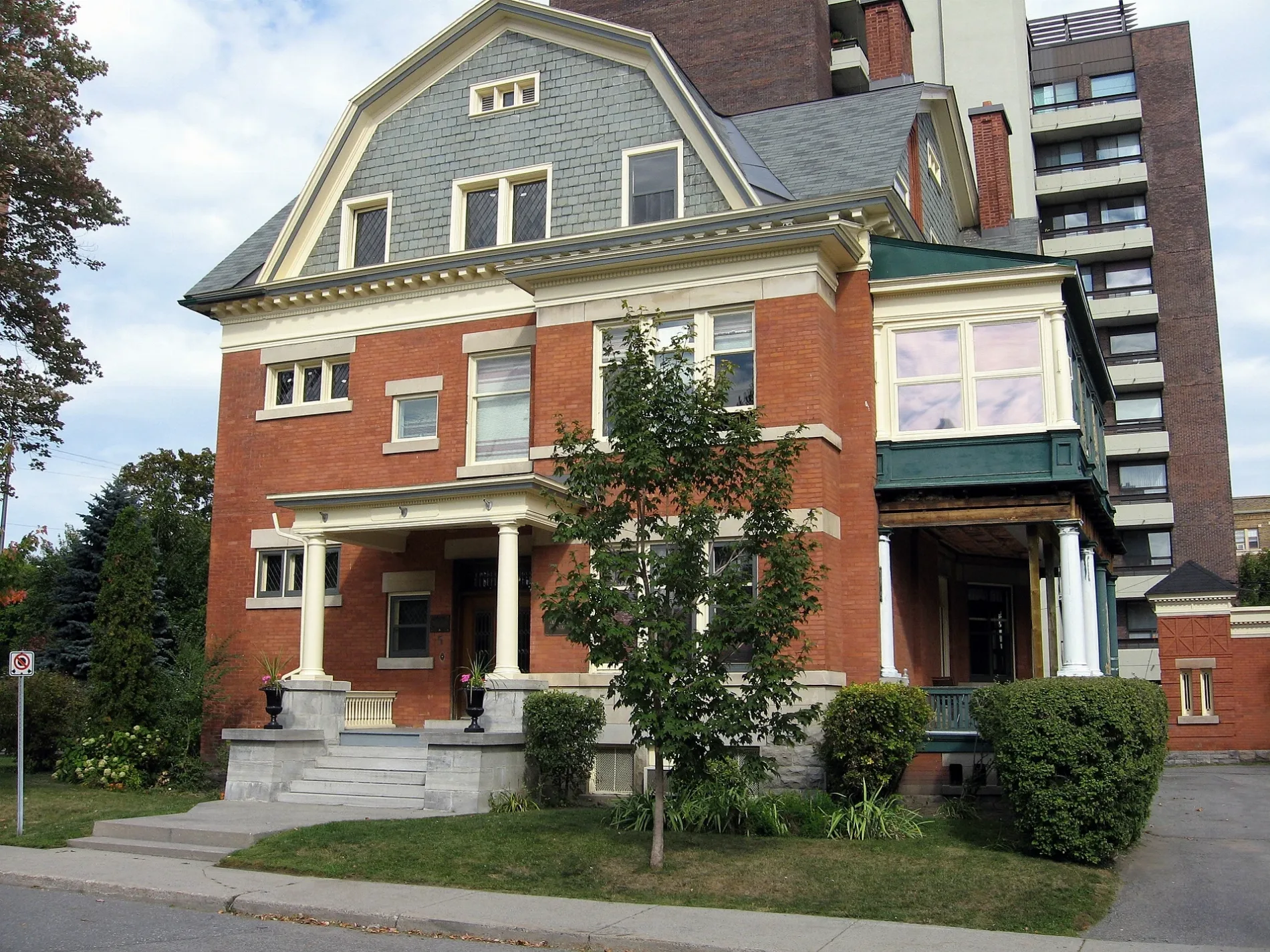
Stewart Street in Ottawa is a single-lane, asphalted residential street (30 km/h). The road has sidewalks. It runs in a northeast-southwest direction starting from Waller Street and crosses Cumberland Street, King Edward Avenue, Nelson Street, Friel Street, Chapel Street, Augusta Street, Cobourg Street and Charlotte Street. It ends in a cul-de-sac. This road is part of the bicycle route "Crosstown Bikeway 2". In the vicinity, you can find among other things a car sharing station, a convenience store and an ATM. The nearest stop is King Edward / Stewart. The bus line 56 stops here. Stewart Street also exists in Leeds and Grenville Counties and Renfrew County.
- Road Type
- residential street
- Lanes
- 2
- Speed Limit
- 30
- Route
- northeast-southwest
Image
Car sharing stations
ATMs
Roads nearby
Wilbrod StreetThe Hill Pet Supply, Happy Goat, Wilbrod Coin Laundry, Vape Kyn, Barely Bruised Books, O-FRANGO, Wilbrod / Nelson
100 m
Charlotte StreetCharlotte / Stewart, Charlotte / Wilbrod, Charlotte / Tormey, Charlotte / Rideau, Charlotte / Besserer
150 m
Range RoadStrathcona's Folly, Range / Templeton
250 m
Rideau River Eastern PathwayNorth River / Montréal
350 m
Cummings Bridge450 m
McArthur AvenueMcArthur / North River, Agop's Bakery, Moussa Mini Market & Meat Shop, Lydia Beauty Salon, Best Pizza, Vertefeuille Pavilion, CareMedics, McArthur Dental Centre, Parkway Pharmacy, Reiki Spiritual Awakening, Pharmacie La Paix, McArthur / Brant, Mcarthur Physiotherapy, Dr. Loan Vo, Ottawa Police - Vanier Community Police Centre, Samo Wood, Grillades Kenayah, McArthur / Mayfield, McArthur / Vanier, McArthur / Lafontaine, McArthur / Olmstead, McArthur / Eastwood, McArthur / Irwin Miller, Assured Bel-Air Collision Centre, McArthur / Allen, McArthur / Lacasse, Communauto #112
500 m
Carlotta Avenue500 m
Washington AvenueEdgewood Child Care Centre
550 m
Adàwe crossingA View from Two Sides
650 m
Somerset Street EastSomerset E / Sweetland, Shutters, Somerset E / Goulbourn, Somerset E / Chapel, Joseph's Beauty Salon, Collective Growers, Safi Fine Foods, No Forks Given, Somerset E / King Edward
650 m
Buildings nearby
Fleck/Paterson House150 m
Apartment buildings nearby
The Royal Arms50 m
The Pickwick50 m
Wilbrod Towers150 m
Rio Vista Apartments150 m
Terrasses Gabrielle600 m
Buildings nearby
Daly Apartments200 m
Embassy of Egypt300 m
Commercial areas nearby
Embassy of Sudan100 m
Embassy of Guinea100 m
Embassy of Algeria Consular Section150 m
Embassy of the Republic of Poland150 m
Embassy of Algeria200 m
The Embassy of the Russian Federation in Canada200 m
Embassy of Brazil in Canada250 m
High Commission for the Republic of Kenya in Ottawa250 m
Embassy of Switzerland300 m
High Commission of Pakistan350 m
Embassy of Ivory Coast350 m
Embassy of Togo400 m
Embassy of the Democratic Republic of the Congo400 m
Place Vanier450 m
Embassy of Senegal500 m
Ambassade du Vénézuela550 m
Embassy of Morocco600 m
Embassy of Burkina Faso600 m
High Commission Of The United Republic Of Tanzania650 m
Consulate of Russia700 m
Commercial buildings nearby
Place Vanier Platform500 m
Parks nearby
Riverain Park350 m
Residential areas nearby
Fountain Gate250 m
Restaurants nearby
Signatures250 m
Social facilities nearby
Chartwell Rideau Place Retirement Residence200 m
Sports centres nearby
Rideau Sports Centre600 m
Sports pitches nearby
Aurèle G. Morin Baseball Diamond #2450 m
Aurèle G. Morin Baseball Diamond #1500 m
Public Tennis Courts600 m
Swimming pools nearby
Wading Pool - Strathcona350 m
Woodlands nearby
Cummings Island400 m
 Public transport map Rideau-Vanier Legend
| Railway | |
| Bus | |
| Tram |
 Cycling map Rideau-Vanier Legend
| Cycle path | |
| Cycle lane on road | |
| Cycling on bus lane | |
| Bicycle street | |
| Cyclists allowed | |
| Cyclists allowed, good surface | |
| No cycling | |
| Cobblestones |
| Long-distance cycle route | (depending on scale) | |
| Long-distance cycle route |
 Walking map Rideau-Vanier Legend
| Path |
| Long-distance hiking trail | (depending on scale) | |
| Long-distance hiking trail | ||
| No pedestrians |