
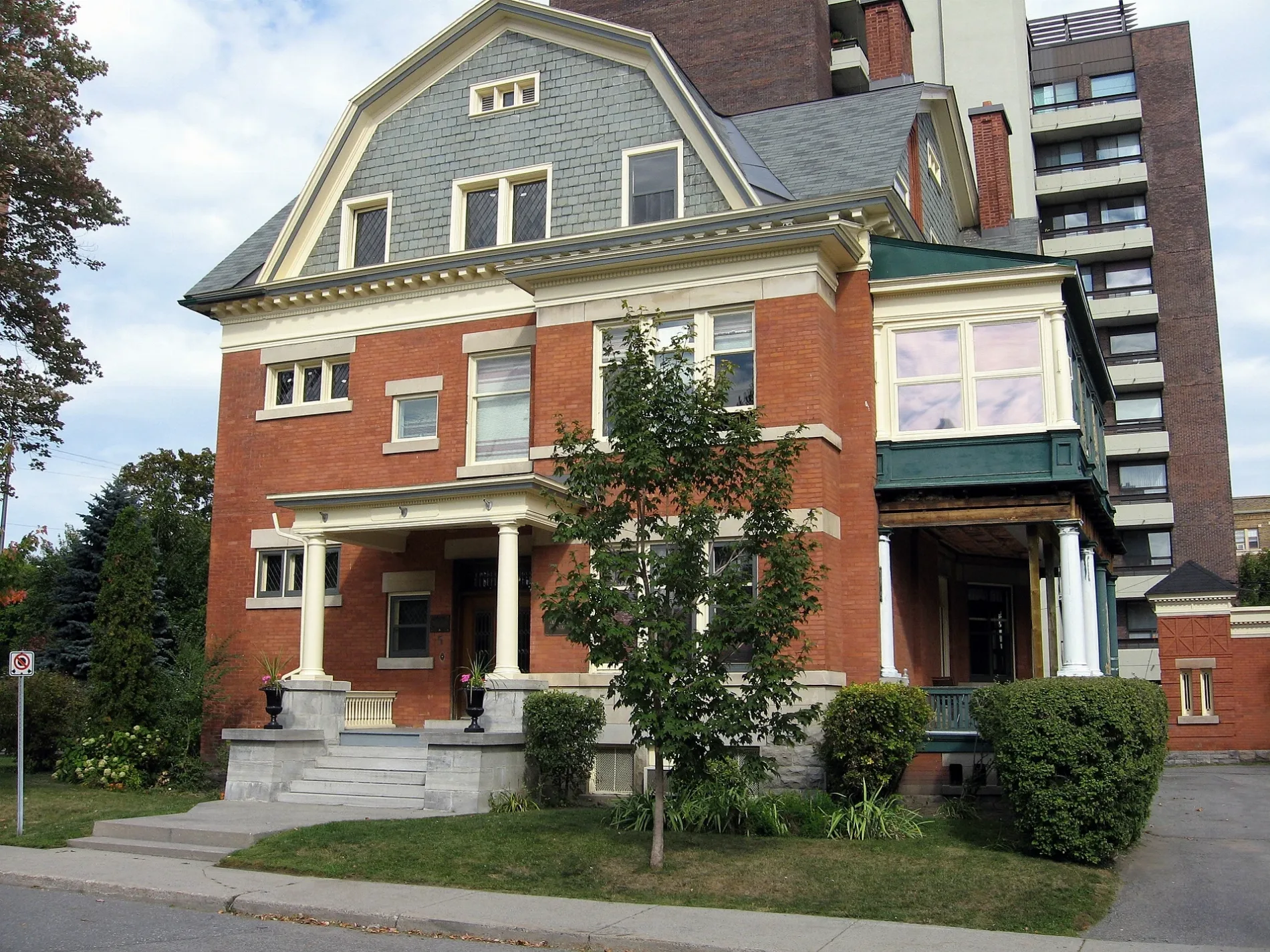
Cobourg Street in Rideau-Vanier, Ottawa, Ontario
Cobourg Street in Ottawa is a two-lane, asphalted tertiary road (30 km/h). The road has sidewalks. It runs in a southeast-northwest direction starting from Besserer Street and crosses Daly Avenue and Stewart Street and ends at Wilbrod Street. This road is part of the bicycle route "Crosstown Bikeway 2". The nearest stops are Cobourg / Beausoleil, Cobourg / St Patrick and Cobourg / Clarence. The bus lines 6, 7, 17 and 19 serve this stop.
- Road Type
- residential street
- Lanes
- 2
- Speed Limit
- 30
- Route
- southeast-northwest
Image
Bus stops
- bus lines 6, 7, 17, 19
Roads nearby
Lover's Lane150 m
Daly AvenueSandy Hill Dental Centre, Communauto #03, Swiss Hotel, Daly / Nicholas, Le Germain Hotel Ottawa, Norca Restaurant & Bar
250 m
Augusta StreetCanada Post, Communauto #22
300 m
Thorburn Private350 m
Turgeon Private350 m
Prudhomme Private400 m
Buildings nearby
Annex Residence500 m
Apartment buildings nearby
The Strathcona200 m
The Envoy300 m
The Sandhurst350 m
Beverley400 m
Augusta Apartments400 m
Carillon Manor400 m
The Kings Arms400 m
Sandy Hill Apartments400 m
Park View400 m
The Belgarde400 m
Le Paris Apartments450 m
Shaflesbury450 m
The Wilfrid Apartments450 m
Tivoli450 m
The Bachelor500 m
Attraction nearby
Laurier House300 m
Buildings nearby
Poland Ambassadorial Residence100 m
Embassy of the Republic of Croatia300 m
High commission of Saint Kitts and Nevis350 m
CODE350 m
Kildare House350 m
D+A Wellness450 m
Commercial areas nearby
Embassy of Brazil in Canada100 m
High Commission for the Republic of Kenya in Ottawa100 m
Embassy of the Republic of Bulgaria in Canada150 m
High Commission of Brunei, Ottawa150 m
Embassy of Bosnia and Herzegovina300 m
Commercial buildings nearby
Place de La Francophonie400 m
Amnesty International Canada450 m
Constructions nearby
The Charlotte300 m
Rideau & Chapel400 m
Detached houses nearby
Laurier House Visitors' Centre300 m
Events venues nearby
All Saints300 m
Fast food restaurants nearby
Si Señor300 m
Shawarma Palace350 m
Guest house nearby
Laurier Guest House350 m
Houses nearby
Embassy of Austria100 m
Motel nearby
Econo Lodge400 m
Outdoor seatings nearby
Working Title Patio300 m
Parks nearby
Sir Wilfrid Laurier Park400 m
Playgrounds nearby
Splash Pad - Sir Wilfrid Laurier Park350 m
Residential buildings nearby
The Portals450 m
Zen Centre of Ottawa500 m
Public transport map Rideau-Vanier Legend
| Railway | |
| Bus | |
| Tram |
Cycling map Rideau-Vanier Legend
| Cycle path | |
| Cycle lane on road | |
| Cycling on bus lane | |
| Bicycle street | |
| Cyclists allowed | |
| Cyclists allowed, good surface | |
| No cycling | |
| Cobblestones |
| Long-distance cycle route | (depending on scale) | |
| Long-distance cycle route |
Walking map Rideau-Vanier Legend
| Path |
| Long-distance hiking trail | (depending on scale) | |
| Long-distance hiking trail | ||
| No pedestrians |