
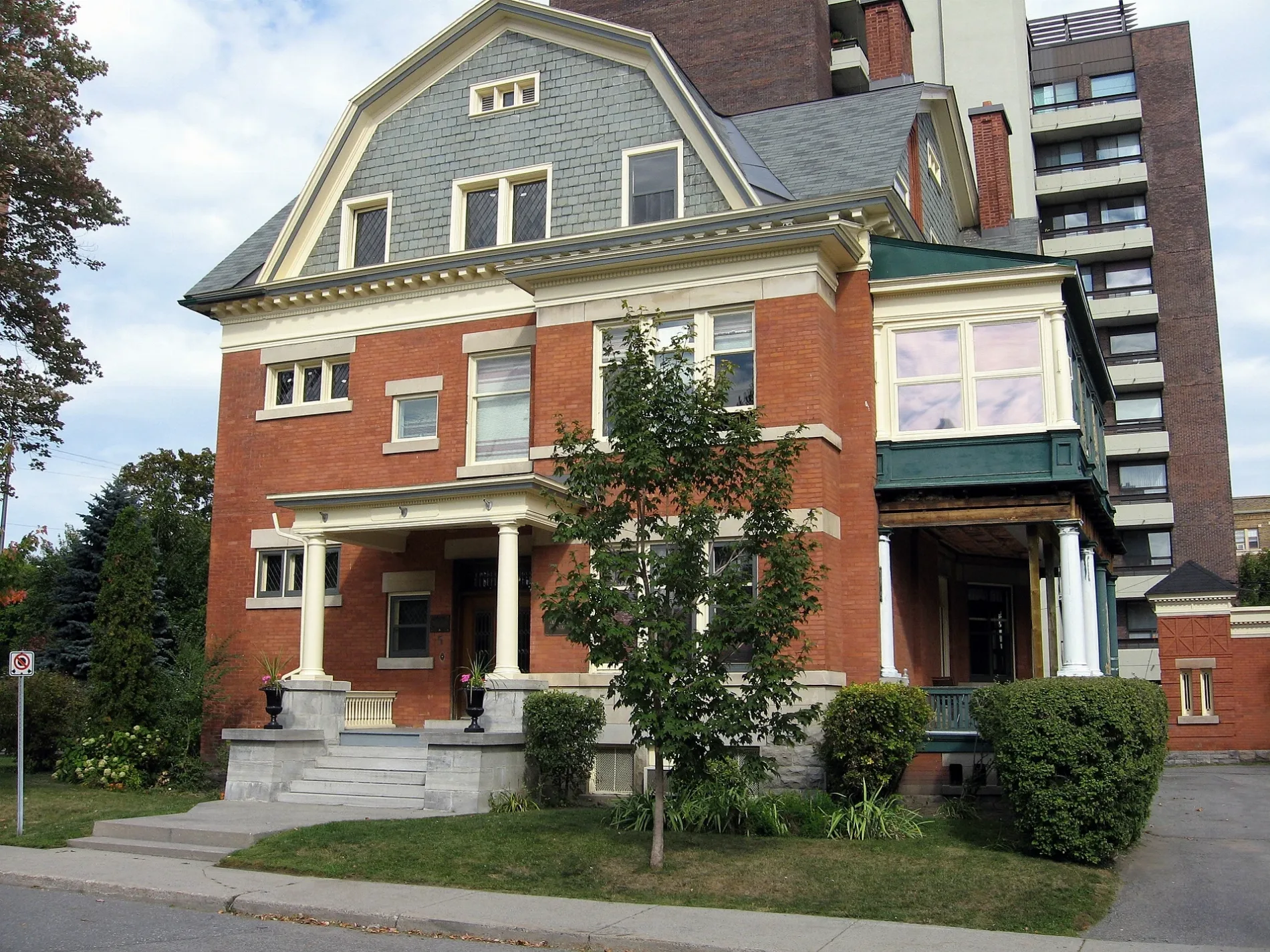
Osgoode Street in Rideau-Vanier, Ottawa, Ontario
Osgoode Street in Ottawa is a two-lane, asphalted residential street (30 km/h). The road has sidewalks as well as parking spaces (parallel parking). It runs in a northeast-southwest direction starting from Thomas More Private and crosses King Edward Avenue, Henderson Avenue, Nelson Street, Sweetland Avenue, Russell Avenue, Chapel Street, Blackburn Avenue, Goulburn Avenue and Marlborough Avenue and ends at Range Road. In the vicinity, you can find among other things a fast food restaurant, a hairdresser's, a car sharing station and a kindergarten. The nearest bus stop in the vicinity is Chapel / Templeton (approx. 400 m away).
- Road Type
- residential street
- Lanes
- 2
- Speed Limit
- 30
- Route
- northeast-southwest
Image
Fast food restaurants
Car sharing stations
Tourist information offices
Roads nearby
Chapel StreetSandy Hill, Communauto #119, The Garage, Stephan Hair Design, Communauto #46, Sandy Hill Cleaners, Chapel / Mann, Chapel / Templeton
100 m
Nelson StreetCommunauto #113, Thee Chip Shoppe, Loblaw Pharmacy
250 m
Sweetland AvenueCommunauto #127, Heritage Conservation District Sign
250 m
Russell AvenueHeritage Conservation District Sign
250 m
Henderson AvenueLava Java, Communauto #10
300 m
Buildings nearby
Annex Residence250 m
Allotment gardens nearby
Gardin Promenade350 m
Apartment buildings nearby
The Vermont100 m
Embassy Terrace100 m
The Bachelor200 m
Carre 417200 m
The Nelson House250 m
Nelson Place Apartments250 m
The Kings Arms250 m
The Wilfrid Apartments250 m
Sandy Hill Apartments300 m
The Versailles300 m
The Tommy350 m
Candy Residence400 m
Brooks450 m
Attraction nearby
Laurier House300 m
Bars nearby
Father and Sons350 m
Buildings nearby
Kildare House200 m
CODE200 m
La Rotande350 m
Office of Campus Sustainability400 m
Commercial areas nearby
Embassy of Serbia250 m
Embassy of Bosnia and Herzegovina250 m
Commercial buildings nearby
Amnesty International Canada200 m
Community centres nearby
Sandy Hill Community Centre300 m
Convenience stores nearby
Quickie250 m
Copy shops nearby
Merriam Print250 m
Detached houses nearby
Laurier House Visitors' Centre350 m
Events venues nearby
All Saints250 m
Guest house nearby
Laurier Guest House250 m
Hairdresser's nearby
Snobby's Barbershop250 m
Ice rinks nearby
Annie Pootoogook Park Ice Rink400 m
Outdoor seatings nearby
Working Title Patio250 m
Parks nearby
Sir Wilfrid Laurier Park300 m
Places of worship nearby
Hare Krishna Temple350 m
Playgrounds nearby
Splash Pad - Sir Wilfrid Laurier Park300 m
Pubs nearby
The Nelson300 m
University Bar & Grill450 m
Residential areas nearby
Somerset Rooming House350 m
Sandy Hill Co-op450 m
Residential buildings nearby
The Portals200 m
Restaurants nearby
Govinda's350 m
Social facilities nearby
Young Women's Shelter250 m
University buildings nearby
Legal Translation and Documentation Centre300 m
 Public transport map Rideau-Vanier Legend
| Railway | |
| Bus | |
| Tram |
 Cycling map Rideau-Vanier Legend
| Cycle path | |
| Cycle lane on road | |
| Cycling on bus lane | |
| Bicycle street | |
| Cyclists allowed | |
| Cyclists allowed, good surface | |
| No cycling | |
| Cobblestones |
| Long-distance cycle route | (depending on scale) | |
| Long-distance cycle route |
 Walking map Rideau-Vanier Legend
| Path |
| Long-distance hiking trail | (depending on scale) | |
| Long-distance hiking trail | ||
| No pedestrians |