
Sweetland Avenue in Rideau-Vanier, Ottawa, Ontario
Sweetland Avenue in Ottawa is a two-lane, asphalted residential street (30 km/h). The road has sidewalks as well as parking spaces (parallel parking). It runs in a southeast-northwest direction starting from Laurier Avenue East and crosses Osgoode Street and Somerset Street East and ends at Templeton Street. In the vicinity, you can find a car sharing station and a tourist information. The nearest bus stop in the vicinity is Chapel / Templeton (approx. 250 m away).
- Road Type
- residential street
- Lanes
- 2
- Speed Limit
- 30
- Route
- southeast-northwest
Image
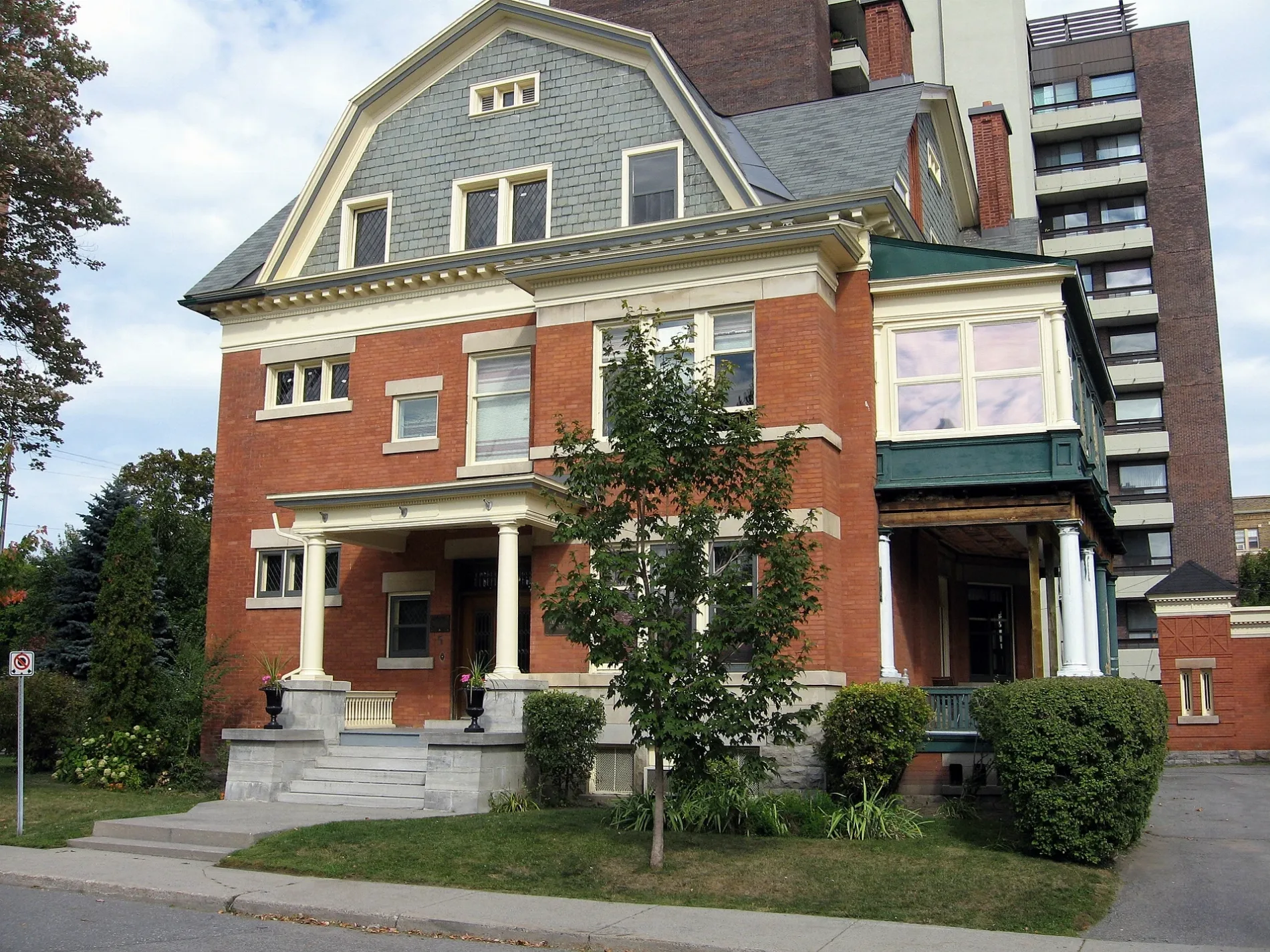
Roads nearby
Russell AvenueHeritage Conservation District Sign
100 m
Osgoode Street3 Brothers Shawarma & Poutine, ProSizo, Communauto #32, Bettye Hyde Cooperative Early Learning Centre, Heritage Conservation District Sign, Circle K
250 m
Blackburn Avenue300 m
Chapel StreetSandy Hill, Communauto #119, The Garage, Stephan Hair Design, Communauto #46, Sandy Hill Cleaners, Chapel / Mann, Chapel / Templeton
300 m
Nelson StreetCommunauto #113, Thee Chip Shoppe, Loblaw Pharmacy
300 m
Laurier Avenue EastLaurier / Sweetland, Thaï Express, Sushiman, Mane Land, Insta Bolz, South Street Burger, Laurier E / King Edward, Laurier E / Cumberland, Laurier / Cumberland, Laurier E / Waller, Second Cup, Pizza Lovers, Subway, Hot Crispy Chicken, Figaro, Circle K, Pizza Studio, Burger Lovers, Mario Cuts, Laurier Office Mart, May Court Bargain Box, CoCo Fresh Tea & Juice, Tahini's, In Context, Amnesty International, Laurier / Chapel, Laurier E / Range, Laurier / Goulbourn, Laurier / Goulburn, Assante Wealth Management, Communauto #40, Working Title, Starbucks, Laurier / Range, Campus Map, St. Joe's Supper Table
450 m
Buildings nearby
Annex Residence450 m
Allotment gardens nearby
Gardin Promenade250 m
Apartment buildings nearby
The Nelson House150 m
Carre 417150 m
The Vermont250 m
Embassy Terrace350 m
Nelson Place Apartments350 m
The Bachelor400 m
The Wilfrid Apartments450 m
The Kings Arms450 m
Sandy Hill Apartments500 m
Attraction nearby
Laurier House500 m
Buildings nearby
Office of Campus Sustainability300 m
La Rotande300 m
Kildare House400 m
CODE450 m
Commercial areas nearby
Embassy of Serbia400 m
Embassy of Mali450 m
Embassy of Bosnia and Herzegovina450 m
Commercial buildings nearby
Amnesty International Canada400 m
Community centres nearby
Sandy Hill Community Centre100 m
Convenience stores nearby
Quickie100 m
Copy shops nearby
Merriam Print400 m
Detached houses nearby
Laurier House Visitors' Centre550 m
Events venues nearby
All Saints500 m
Guest house nearby
Laurier Guest House500 m
Hairdresser's nearby
Snobby's Barbershop400 m
Ice rinks nearby
Annie Pootoogook Park Ice Rink200 m
Outdoor seatings nearby
Working Title Patio500 m
Parks nearby
Annie Pootoogook Park200 m
Sir Wilfrid Laurier Park550 m
Places of worship nearby
Hare Krishna Temple200 m
Playgrounds nearby
Splash Pad - Sir Wilfrid Laurier Park550 m
Pubs nearby
The Nelson400 m
Residential areas nearby
Somerset Rooming House150 m
Sandy Hill Co-op250 m
Residential buildings nearby
The Portals400 m
Restaurants nearby
Govinda's200 m
Foodinator300 m
Dinette Atomique300 m
Social facilities nearby
Young Women's Shelter100 m
Swimming pools nearby
Wading Pool - Sandy Hill200 m
University buildings nearby
Legal Translation and Documentation Centre300 m
Public transport map Rideau-Vanier Legend
| Railway | |
| Bus | |
| Tram |
Cycling map Rideau-Vanier Legend
| Cycle path | |
| Cycle lane on road | |
| Cycling on bus lane | |
| Bicycle street | |
| Cyclists allowed | |
| Cyclists allowed, good surface | |
| No cycling | |
| Cobblestones |
| Long-distance cycle route | (depending on scale) | |
| Long-distance cycle route |
Walking map Rideau-Vanier Legend
| Path |
| Long-distance hiking trail | (depending on scale) | |
| Long-distance hiking trail | ||
| No pedestrians |