
Ring Lane in Rideau-Vanier, Ottawa, Ontario
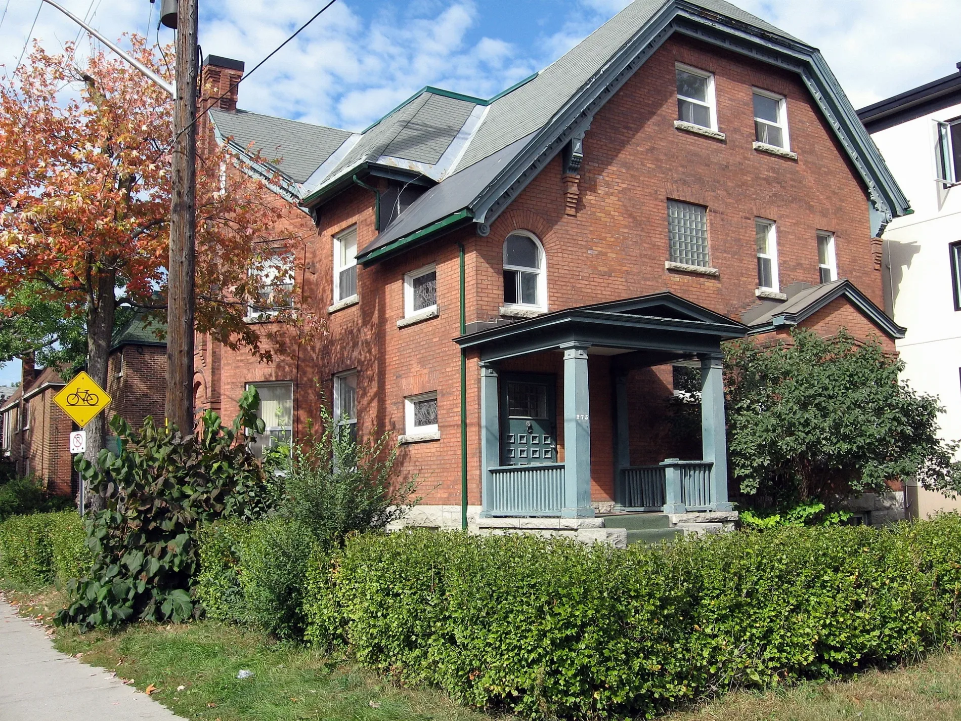
Ring Lane in Ottawa is a two-lane, asphalted service road. It runs in a southeast-northwest direction starting from Wilbrod Street and ends at Laurier Avenue East.
- Road Type
- service road
- Lanes
- 2
- Route
- southeast-northwest
Image
Cafés
Convenience stores
Charity shops
Bus stops
Restaurants
Stationery shops
Tourist information offices
Fast food restaurants
Artwork
Social facility
Library
Roads nearby
Copernicus StreetBrian Dickson Law Library, Campus Map
150 m
Cumberland Private200 m
University PrivateCafé Omni, Campus Map
250 m
Stairs to UCU TerraceLibrary, PIVIK, Bento Sushi, BT Cravings
250 m
Séraphin-Marion PrivateCampus Map
250 m
Buildings nearby
Hyman Soloway Residence100 m
Apartment buildings nearby
Sandy Hill Manor200 m
Thompson Residence200 m
The King Edward200 m
Buildings nearby
Community Legal Clinic100 m
Faculty of Law150 m
Centre for Bahai Studies150 m
Graduate Building150 m
Academic Hall300 m
Commercial buildings nearby
Embassy of the Republic of Iraq100 m
Dormitories nearby
LeBlanc Residence150 m
Fast food restaurants nearby
Le Bac a Frites250 m
Fire stations nearby
Ottawa Fire Station 1350 m
Grass nearby
Tabaret Lawn200 m
Guest house nearby
The King Edward Bed & Breakfast100 m
The Stewart Bed and Breakfast200 m
Belle Notte Bed&Breakfast250 m
Gold Door Inn300 m
Houses nearby
Cumberland Rooming House250 m
Mashkawazìwogamig Indigenous Resource Centre250 m
Michaëlle Jean Foundation250 m
External Relations250 m
Places of worship nearby
St. Paul Lutheran100 m
St. Joseph's150 m
Église Sacré-Coeur150 m
Restaurants nearby
Flour Kitchen150 m
University buildings nearby
International Office50 m
University of Ottawa Press100 m
Legal Information Clinic100 m
Development Office100 m
200 Wilbrod100 m
Thompson Hall150 m
Fauteux Passerelle200 m
100 Laurier200 m
Peréz Hall200 m
William Commanda Hall200 m
Alex Trebek Alumni Hall200 m
Tabaret Hall250 m
University Centre Terrace250 m
Simard Hall250 m
Hamelin Hall250 m
Centre for Academic Leadership250 m
Morisset Hall300 m
Hagen Hall300 m
 Public transport map Rideau-Vanier Legend
| Railway | |
| Bus | |
| Tram |
 Cycling map Rideau-Vanier Legend
| Cycle path | |
| Cycle lane on road | |
| Cycling on bus lane | |
| Bicycle street | |
| Cyclists allowed | |
| Cyclists allowed, good surface | |
| No cycling | |
| Cobblestones |
| Long-distance cycle route | (depending on scale) | |
| Long-distance cycle route |
 Walking map Rideau-Vanier Legend
| Path |
| Long-distance hiking trail | (depending on scale) | |
| Long-distance hiking trail | ||
| No pedestrians |