
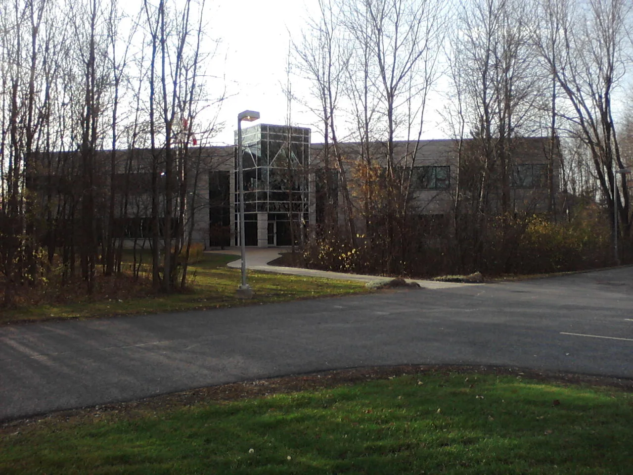
Akerson Road in Kanata South, Ottawa, Ontario
Akerson Road in Ottawa is a two-lane, asphalted tertiary road (50 km/h). The road has sidewalks. It runs in a southeast-northwest direction starting from Michael Cowpland Drive and crosses Barrick Hill Road, Moorpark Avenue, Oakglade Avenue and Cope Drive and ends at Carronbridge Circle. The nearest stops are Akerson / Oakglade, Akerson / Barrick Hil and Akerson / Barrick Hill. The bus line 256 stops here.
- Road Type
- tertiary road
- Lanes
- 2
- Speed Limit
- 50
- Route
- southeast-northwest
Image
Bus stops
- bus lines 256
Roads nearby
Barrick Hill Road150 m
Cope DriveDrugstore Pharmacy, Cope / Carronbridge, Cope / Akerson, Cope / Templeford, Cope / Northgraves
200 m
Oakglade Avenue200 m
Northgraves Crescent250 m
Pepperville Crescent250 m
Whiteford Way300 m
Carronbridge Circle350 m
Regiment Avenue350 m
Alson Mills Way350 m
Westhall Way350 m
Moorpark Avenue350 m
Eagleson RoadEagleson / Cadence, Eagleson / Abbeyhill, Eagleson / Kakulu, Eagleson / Shatner, Eagleson / Katimavik, Eagleson / AD. 485, Eagleson / Rothesay, Eagleson / AD. 630, A&W, 760 Eagleson (Superstore), Eagleson / Fernbank, Eagleson / AD. 465, Eagleson / Hazeldean, Eagleson / Palomino, Eagleson / Michael Cowpland, Eagleson / Stonehaven, Bridlewood Child Learning Centre, Eagleson 3A
350 m
Riding Way400 m
Templeford AvenueTempleford / Cope, Templeford / Tabaret
400 m
Henbury Way400 m
Cadence GateCadence / Equestrian
400 m
Equestrian DriveEquestrian / Foxleigh, Equestrian / Stableway, Equestrian / Harness
450 m
Tabaret Street450 m
Patriot Place500 m
Fernbank RoadFernbank / Romina, Fernbank / Terry Fox, Fernbank / Templeford, Fernbank / Eagleson
550 m
Michael Cowpland DriveCedar Ridge High School, Post Office - Shoppers, Taters
550 m
Banks nearby
TD600 m
Beauty salons nearby
Starshine Nails600 m
Clothing shops nearby
Boomerang Kids650 m
Commercial buildings nearby
JGR Optics500 m
Dental practices nearby
7Dental300 m
Dry cleaner's nearby
Star Fashion Cleaners650 m
Fast food restaurants nearby
Burger Factory300 m
Kettlemans Bagel550 m
Domino's600 m
Fitness centres nearby
Fit4Less600 m
Hairdresser's nearby
First Choice Haircutters650 m
Ice rinks nearby
Chris Phillips Rink150 m
Kindergartens nearby
Kids & Company550 m
Mobile phone shops nearby
Rogers600 m
Off-licences nearby
The Beer Store500 m
Office buildings nearby
Canadian North150 m
Parks nearby
Kristina Kiss Park100 m
Playgrounds nearby
Splash Pad - Kristina Kiss Park100 m
Residential areas nearby
Eagle Pointe500 m
Restaurants nearby
St. Louis Bar & Grill300 m
Wild Wing650 m
Retail areas nearby
Kanata South Centre300 m
Eagleson Place600 m
Retail buildings nearby
RE/MAX600 m
Shelters nearby
Cart Shack400 m
Streams nearby
Mahoney Creek150 m
Supermarkets nearby
Real Canadian Superstore250 m
Metro250 m
 Public transport map Kanata South Legend
| Railway | |
| Bus | |
| Tram |
 Cycling map Kanata South Legend
| Cycle path | |
| Cycle lane on road | |
| Cycling on bus lane | |
| Bicycle street | |
| Cyclists allowed | |
| Cyclists allowed, good surface | |
| No cycling | |
| Cobblestones |
| Long-distance cycle route | (depending on scale) | |
| Long-distance cycle route |
 Walking map Kanata South Legend
| Path |
| Long-distance hiking trail | (depending on scale) | |
| Long-distance hiking trail | ||
| No pedestrians |