
Moorpark Avenue in Kanata South, Ottawa, Ontario
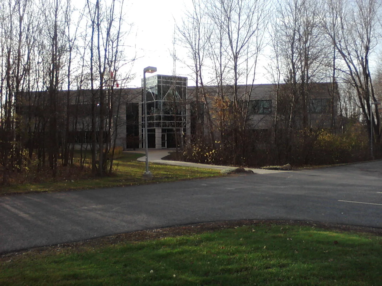
Moorpark Avenue in Ottawa is a two-lane, asphalted residential street (50 km/h). No sidewalks. It runs in an east-west direction starting from Akerson Road and ends at Barrick Hill Road.
- Road Type
- residential street
- Lanes
- 2
- Speed Limit
- 50
- Route
- east-west
Image
School
Pharmacy
Hairdressers
Cannabis shops
Bus stops
Fast food restaurants
Beauty salons
Restaurants
Places of worship
Roads nearby
Akerson RoadAkerson / Oakglade, Akerson / Barrick Hil, Akerson / Barrick Hill
50 m
Oakglade Avenue200 m
Henbury Way250 m
Northgraves Crescent300 m
Alson Mills Way300 m
Barrick Hill Road300 m
Whiteford Way350 m
Michael Cowpland DriveCedar Ridge High School, Post Office - Shoppers, Taters
450 m
Carronbridge Circle450 m
Dowsley Drive500 m
Terence Matthews CrescentRedeemed Christian Church of God - City of David, Wedding Jewelers
550 m
Caminar Terrace550 m
Pepperville Crescent550 m
Shelleright Street600 m
Regiment Avenue600 m
Templeford AvenueTempleford / Cope, Templeford / Tabaret
600 m
Mossy Oak Private600 m
Cope DriveCope / Carronbridge, Cope / Akerson, Cope / Templeford, Drugstore Pharmacy, Cope / Northgraves
650 m
Tabaret Street700 m
Heathcliffe Court700 m
Glamorgan DriveGlamorgan / Uxbridge, Glamorgan / Castlefrank, Glamorgan / Rothesay
700 m
Patriot Place700 m
Terry Fox DriveM&M Food Market, Pet Valu, Terry Fox / Westphalian
750 m
Night Owl Private750 m
Paseana Place800 m
Boulonnais Grove850 m
Car repair shops nearby
Jiffy Lube700 m
Commercial buildings nearby
JGR Optics350 m
Canadian Wildlife Federation450 m
Inpho450 m
JSI500 m
IFS550 m
Opticalm Visual Stress Clinic600 m
Fitness centres nearby
Fit4Less450 m
Hardware shops nearby
Home Hardware500 m
Ice rinks nearby
Chris Phillips Rink300 m
Industrial areas nearby
Hazeldean Pump Station600 m
Kindergartens nearby
Kids & Company400 m
Off-licences nearby
The Beer Store450 m
LCBO750 m
Parks nearby
Kristina Kiss Park350 m
Playgrounds nearby
Splash Pad - Kristina Kiss Park350 m
Residential areas nearby
Blackstone800 m
Blackstone South800 m
Retail areas nearby
SmartCentres Kanata (S)750 m
Shelters nearby
Cart Shack400 m
Streams nearby
Mahoney Creek350 m
Supermarkets nearby
Real Canadian Superstore400 m
Walmart Supercentre800 m
Public transport map Kanata South Legend
| Railway | |
| Bus | |
| Tram |
Cycling map Kanata South Legend
| Cycle path | |
| Cycle lane on road | |
| Cycling on bus lane | |
| Bicycle street | |
| Cyclists allowed | |
| Cyclists allowed, good surface | |
| No cycling | |
| Cobblestones |
| Long-distance cycle route | (depending on scale) | |
| Long-distance cycle route |
Walking map Kanata South Legend
| Path |
| Long-distance hiking trail | (depending on scale) | |
| Long-distance hiking trail | ||
| No pedestrians |