
Dan Lane in River, Ottawa, Ontario
Dan Lane in Ottawa is a two-lane, asphalted service road (30 km/h). It runs in a northeast-southwest direction starting from Morningside Lane.
- Road Type
- service road
- Lanes
- 2
- Speed Limit
- 30
- Route
- northeast-southwest
Tourist information offices
Bus stops
Museum
- Canada Agriculture and Food Museum (Ingenium, opening hours: Mar-Oct 9–17; Nov–Feb: Wed–Sun 9–17, fee required, web) at Prince Of Wales Drive 901 – approx. 200 m.
Roads nearby
Experimental Farm PathwayExperimental Farm Pathway, Fisher / Trent
100 m
National Capital Commission DrivewayCentral Expermental Farm
250 m
Birch Drive350 m
Winding Lane600 m
Maple Drive600 m
Attraction nearby
South Azimuth Building700 m
Barns nearby
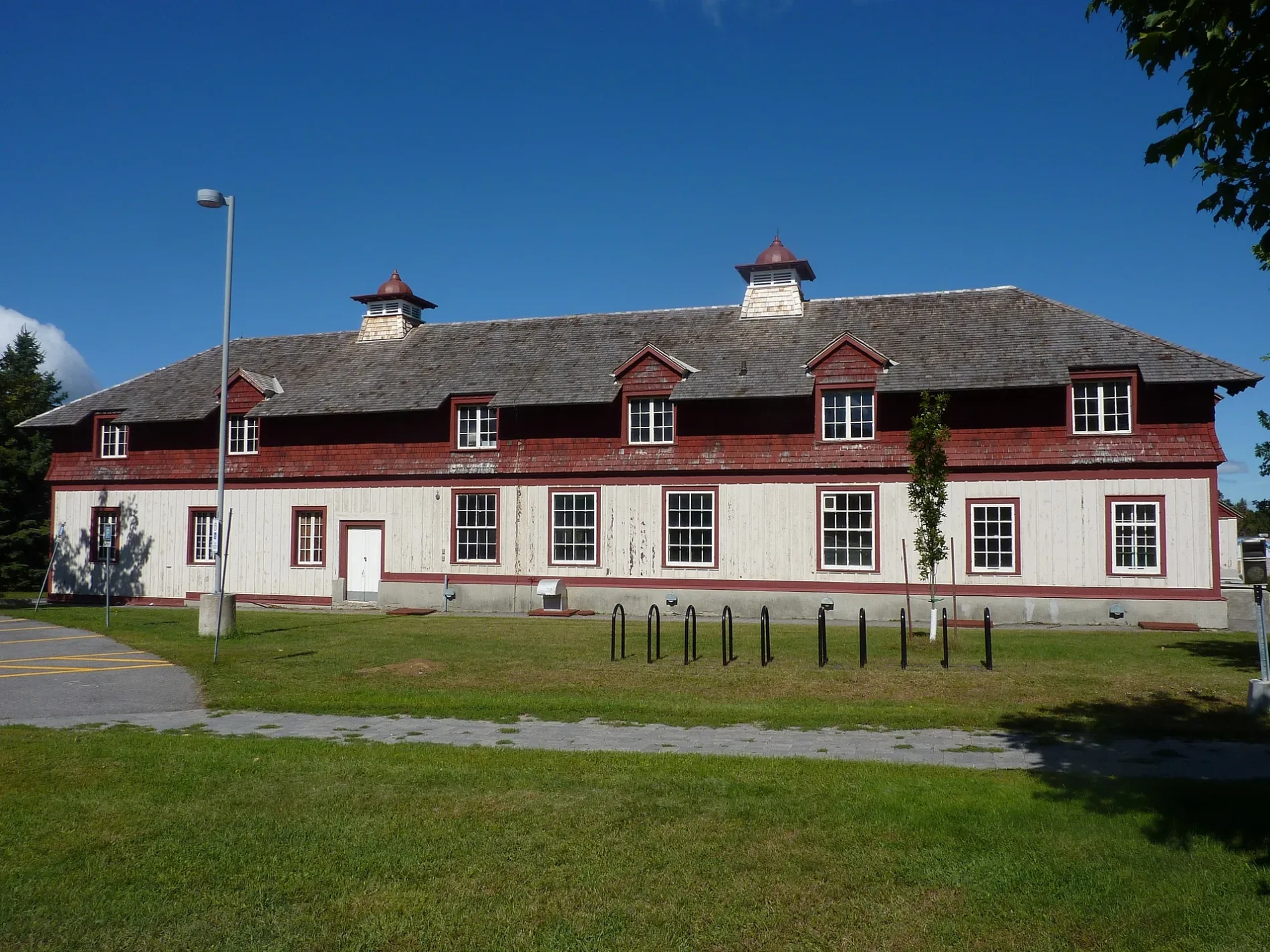
103100 m
104150 m
145150 m
146150 m
Small Animal Barn150 m
Dairy Barn200 m
Horse and Cattle Barn200 m
Buildings nearby
114200 m
48A400 m
37500 m
Integrated Growth Facility700 m
Commercial buildings nearby
9950 m
9750 m
9850 m
95100 m
94100 m
Building 57150 m
Building 55200 m
Building 56200 m
92250 m
54250 m
152300 m
140300 m
75300 m
48400 m
Saunders Building (49)400 m
45450 m
39500 m
40500 m
34500 m
36500 m
K.W. Neatby Building700 m
Constructions nearby
Future Civic Hospital400 m
Garages nearby
91A200 m
47400 m
Greenhouses nearby
50350 m
Service buildings nearby
Building 26600 m
Building 23600 m
Building 19700 m
Building 18700 m
Sheds nearby
32450 m
Sports pitches nearby
D.A.R.A Tennis Club500 m
Zoo nearby
Canada Agriculture and Food Museum250 m
 Public transport map River Legend
 | Railway | |
| Bus | |
| Tram |
 Cycling map River Legend
 | Cycle path | |
| Cycle lane on road | |
| Cycling on bus lane | |
| Bicycle street | |
| Cyclists allowed | |
| Cyclists allowed, good surface | |
| No cycling | |
| Cobblestones |
| Long-distance cycle route | (depending on scale) | |
| Long-distance cycle route |
 Walking map River Legend
 | Path |
| Long-distance hiking trail | (depending on scale) | |
| Long-distance hiking trail | ||
| No pedestrians |