
Morningside Lane in River, Ottawa, Ontario
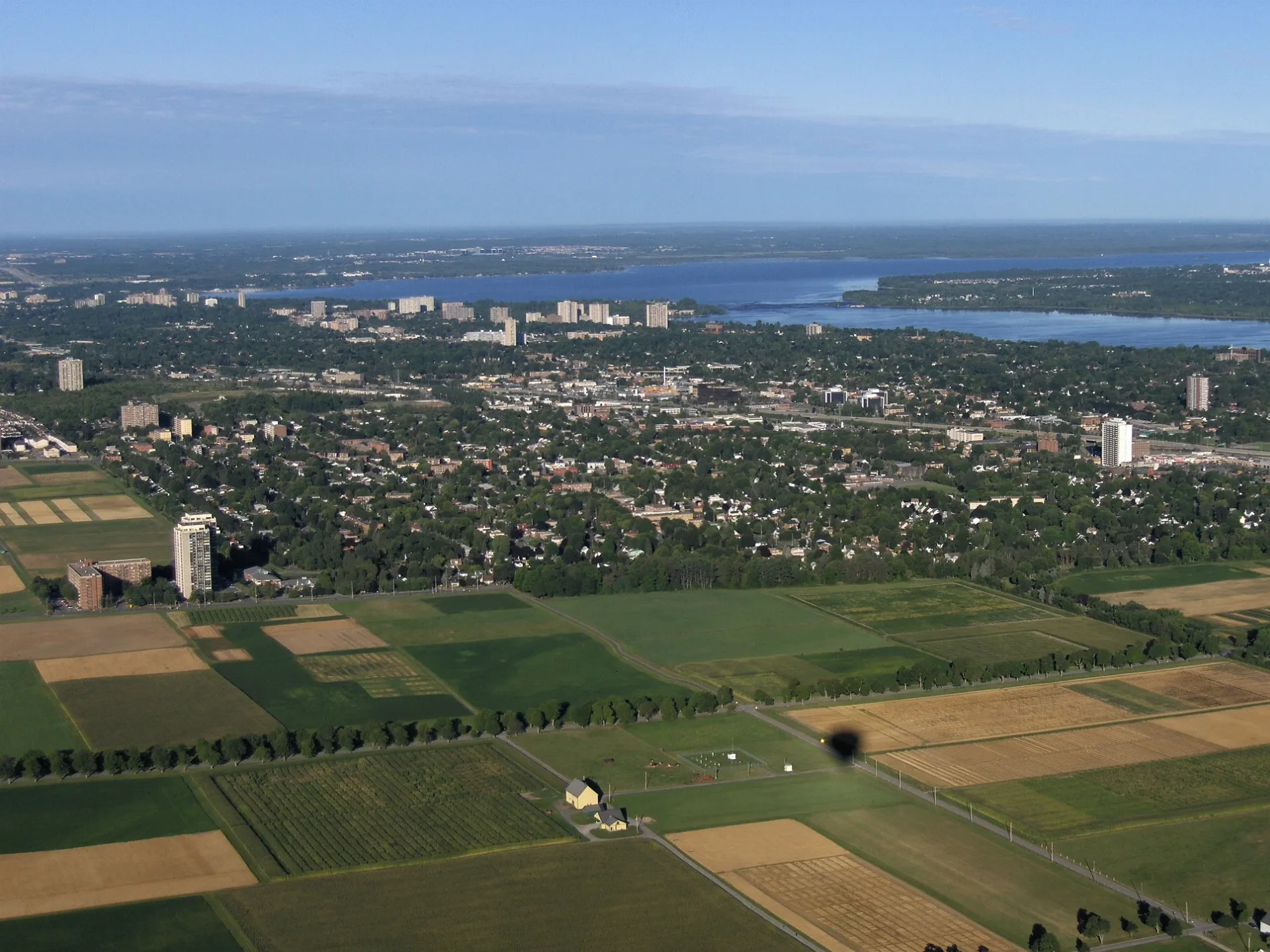
Morningside Lane in Ottawa is a two-lane, asphalted minor road (30 km/h). It runs in a southeast-northwest direction starting from National Capital Commission Driveway and crosses Dan Lane and Cow Lane and ends at Ash Lane. In the vicinity, there is a tourist information. The nearest bus stop in the vicinity is Prince Of Wales / Fairchild (approx. 450 m away).
- Bicycle
- yes
- Road Type
- minor road
- Lanes
- 2
- Speed Limit
- 30
- Route
- southeast-northwest
Image
Tourist information offices
Roads nearby
Prince Of Wales DriveCanadensis, Prince Of Wales / Green Valley, Prince Of Wales / Heron, Prince Of Wales / Fairchild, Prince Of Wales / Borden Side, Prince Of Wales / Normandy, Prince Of Wales / Baseline, Prince Of Wales / Melfa, Prince Of Wales / Sanford, Communauto #96, Prince Of Wales / Forest Hill, Prince Of Wales / Falaise, Post Office-Shoppers, Meryenda Food Truck, Prince Of Wales / Hog's Back, Shell, Prince Of Wales / Meadowlands, Prince Of Wales / Dynes
300 m
Cow Lane450 m
Bill Holland TrailButterfly Meadow, Old Field, Staghorn Sumac, American Goldfinch, Ash Woodlot, Fletcher Wildlife Garden
600 m
Dan Lane650 m
Bil Holland trailFletcher Wildlife Garden
700 m
Attraction nearby
Ornamental Gardens600 m
Barns nearby
111350 m
112400 m
113400 m
146550 m
145550 m
104550 m
103600 m
Small Animal Barn600 m
Horse and Cattle Barn600 m
Dairy Barn750 m
Body of waters nearby
Amphibian pond500 m
Buildings nearby
114450 m
Building 138650 m
76A650 m
Commercial buildings nearby
108350 m
117350 m
116350 m
110400 m
142400 m
143450 m
92500 m
136600 m
98600 m
99650 m
97650 m
94700 m
95700 m
76700 m
Farmhouses nearby
82400 m
Farmlands nearby
Agriculture Canada Research Plot350 m
Garages nearby
91A600 m
77650 m
Gardens nearby
Backyard Garden700 m
Meadows nearby
Butterfly Meadow550 m
Old Field550 m
Parks nearby
Fletcher Wildlife Gardens450 m
Canadensis500 m
Woodlands nearby
new Woodlot450 m
Hedgerows500 m
Hedgerow600 m
The Ravine650 m
Ash Woodlot700 m
Zoo nearby
Canada Agriculture and Food Museum600 m
 Public transport map River Legend
| Railway | |
| Bus | |
| Tram |
 Cycling map River Legend
| Cycle path | |
| Cycle lane on road | |
| Cycling on bus lane | |
| Bicycle street | |
| Cyclists allowed | |
| Cyclists allowed, good surface | |
| No cycling | |
| Cobblestones |
| Long-distance cycle route | (depending on scale) | |
| Long-distance cycle route |
 Walking map River Legend
| Path |
| Long-distance hiking trail | (depending on scale) | |
| Long-distance hiking trail | ||
| No pedestrians |