
Prince Of Wales Drive in River, Ottawa, Ontario
Prince Of Wales Drive in Ottawa is a single-lane, asphalted main road (50 km/h). The road has partly no sidewalks as well as cycle paths. It runs in a north-south direction and crosses Deakin Street, West Hunt Club Road, Meadowlands Drive, Rocky Hill Drive, Strandherd Drive, Barnstone Drive, Maplehill Way, Longfields Drive, Waterbridge Drive, Winding Way, Fairpark Drive and Lodge Road. It ends in a cul-de-sac and connects River, Knoxdale-Merivale, Barrhaven East and Barrhaven West. This road is part of the bicycle route "Experimental Farm Pathway" and the long-distance road "73". In the vicinity, you can find among other things a tourist information, a car sharing station, a post office and a fast food restaurant. The nearest stops include Prince Of Wales / Green Valley, Prince Of Wales / Heron, Prince Of Wales / Fairchild, Prince Of Wales / Borden Side and Prince Of Wales / Normandy. The bus line 111 stops here. Prince Of Wales Drive also exists in Capital and Rideau-Jock.
- Bicycle
- yes
- Road Type
- main road
- Lanes
- 1
- Speed Limit
- 60
- Route
- north-south
Image
Fast food restaurants
Bus stops
- bus lines 111
Roads nearby
Birch DriveAttraction nearby
Ornamental GardensBarns nearby
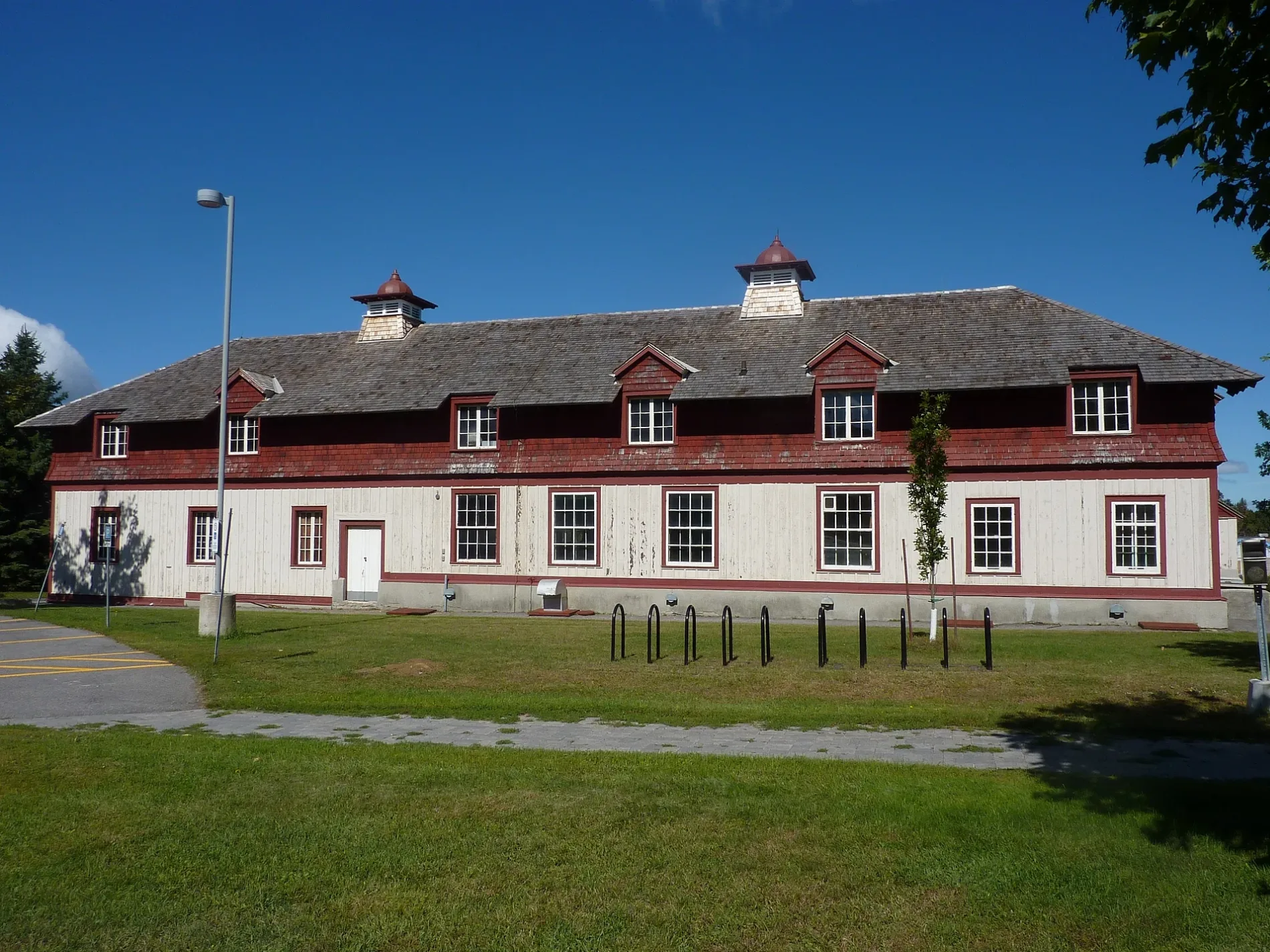
Horse and Cattle BarnBuildings nearby
76ACommercial buildings nearby
59Constructions nearby
Future Civic HospitalFarmhouses nearby
82Garages nearby
77Greenhouses nearby
50Woodlands nearby
HedgerowZoo nearby
Canada Agriculture and Food Museum Public transport map River Legend
| Railway | |
| Bus | |
| Tram |
 Cycling map River Legend
| Cycle path | |
| Cycle lane on road | |
| Cycling on bus lane | |
| Bicycle street | |
| Cyclists allowed | |
| Cyclists allowed, good surface | |
| No cycling | |
| Cobblestones |
| Long-distance cycle route | (depending on scale) | |
| Long-distance cycle route |
 Walking map River Legend
| Path |
| Long-distance hiking trail | (depending on scale) | |
| Long-distance hiking trail | ||
| No pedestrians |