
Brock, Ontario
Brock is located in Durham Region. Around 11,642 people live here. Its area extends over around 423.7 square kilometres. Brock has around 991 streets. The region was founded in the year 1974. Brock is township municipality in Durham Region, Ontario, Canada. Among other things, Brock has public transport, restaurants, cafés, museums, banks, hairdressers and pharmacies. For more information, see www.townshipofbrock.ca.
Brock – Facts
| Inhabitants | 11.642 |
|---|---|
| Area | 423.7 km² |
| Inception | 1974 |
| Located in | Regional Municipality of Durham |
| Country | Canada |
| Website | https://www.townshipofbrock.ca/ |
Data source: Wikidata (CC0)
Photos from Brock
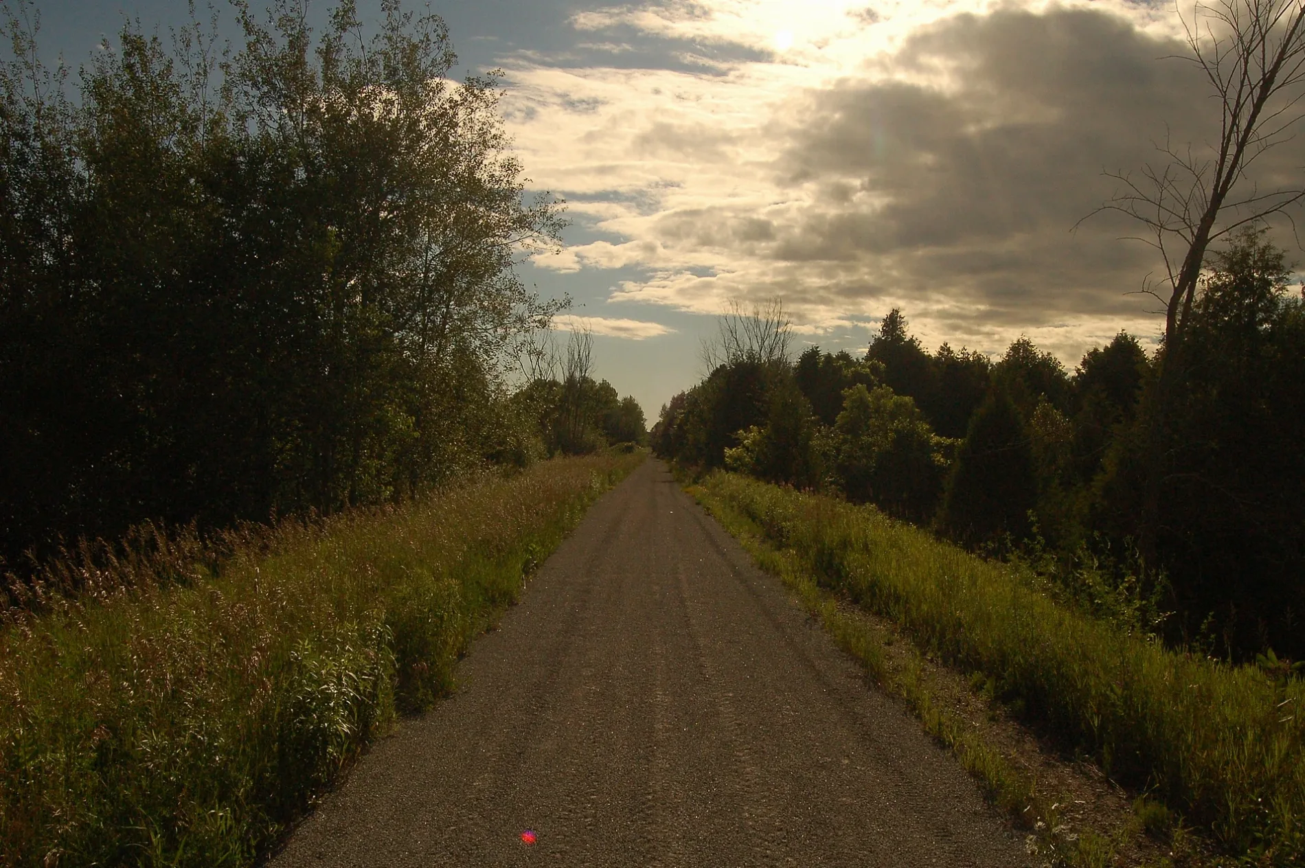
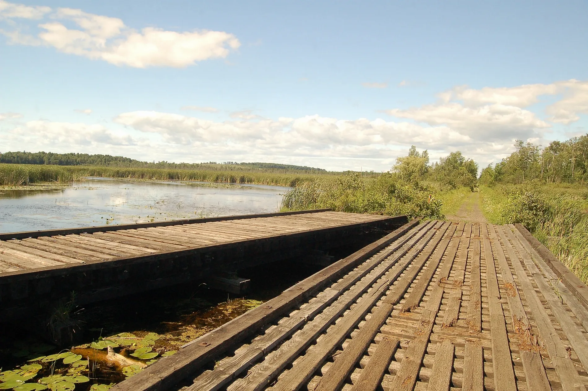
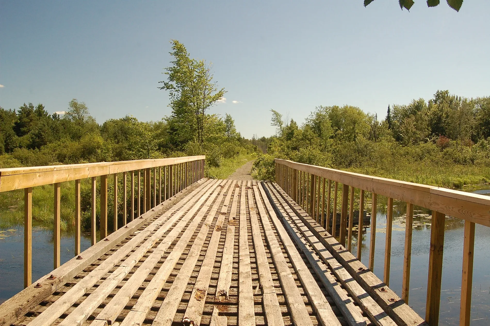
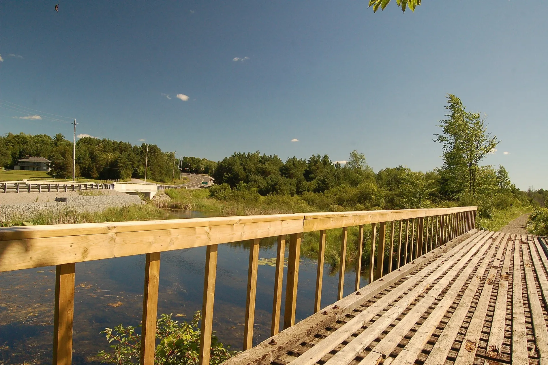
Roads in Brock, Ontario
Roads
Lake Ridge Road
Happy Mart, Victoria Corners
Brock Concession Road 11
Ridge Road
Highway 7/12Highway 7/12 SB @ Blackwater, Highway 7/12 NB @ Blackwater, Highway 7/12 SB @ The Pines, Highway 7/12 NB @ The Pines
Uxbridge Heights Road
Harbour Park Crescent
Highland Crescent
Thorah Concession Road 8
Southern Court
Thorah Concession Road 3
Brock Concession Road 10
Simcoe StreetBeaverton, CIBC, Simcoe EB @ Mara, Simcoe WB @ Mara, Beacan Presbyterian Church, Simcoe WB @ York, Golden Star Restaurant, Books and Beans, Farmers Kitchen Family Restaurant, Wooden Nickel, TRU Hardware, Shirley's Country Clutter, Ben's Pharmacy, TD Canada Trust, I.D.A., Simcoe EB @ York, Simcoe WB @ Madill, Beaver River Museum, Sonya, Ultramar, Simcoe SB @ Highway 7, Simcoe NB @ Highway 7
Church Street North
Prince Street
North Street
Regional Road 23
Beaver Ridge Lane
Albert Street SouthTracy's Hair Design & Barber, Albert NB @ river, Masonic lodge, Brock Libraries - Sunderland Branch, Albert SB @ Rennie, Albert NB @ Rennie
Shier Avenue
Trootie Street
Regional Road 13
Commodore Road
Adelaide Street
Sideroad 17Cedar Point Market Restaurant
King StreetVroomanton
Thorah Concession Road 7B
McPhadden Street
Osborne StreetLuy's Bar, Beaverton Motel, St. Paul's Anglican Church
Brock Concession Road 4
Maplewood Avenue
Meadowlands Drive
Talbot RoadGamebridge
Sarah Street
Canal Road
Thorah SideroadFisher's Auto Sales & Service
Ann Street North
Mustard Road
Kydd Lane
Highway 7
Madill Street
Ethel Park Drive
Brock Concession Road 2Carpet Hardwood Laminate
Christopher Street
Shaw Avenue
Main Street EastMain WB @ Franklin
Laidlaw Street South
Bay StreetPirates Pizza, LCBO
Church Street
Mara RoadMara NB @ King, Mara SB @ King, Vieveen's Nursery, Mara EB @ Franklin, Kellie's Beauty Salon, The Beer Store, Home Hardware
Brock Concession Road 13
Thorah Concession Road 4
Albert Street NorthSunderland
Sideroad 18
Acton Road
Cedarhurst Beach Road
Pine Street
Township Concession 5
Brock Concession Road 6Esso
Regional Road 10
Brock Concession Road 7Vallentyne
Brock Concession Road 5
Thorah Concession Road 2
Thorah Concession Road 6B
Waddell Street
Brock-Scugog Townline Road
Ball Avenue West
Regional Road 15St. Joseph's Roman Catholic Church, Simcoe EB @ Madill
Regional Road 50Talbot
Ontario Street
Kydd Road
Munro Street West
Ball Avenue East
Regional Road 51
Thorah Concession Road 1
Park Lawn BoulevardCedar Beach
Queen Street
Concession Road 3
Second Street
Morrison Avenue
Lloyd Sideroad
River Street EastCIBC, Fox Fires Bar & Grill, River WB @ Albert
Albert Street
Newton Avenue
Ann Street South
Eighth Street
17 Sideroad
Fifth Street
Park Street
Peace Street
Water Street
Main StreetMain WB @ Lakeview Manor, Main EB @ Lakeview Manor, Beaverton Fish & Chips Restaurant, Strand Theatre
Sideroad 18a
Patricia Crescent
Brock RoadWilfred
Gibbs Street
James Street
Munro Street EastBrock Libraries - Cannington Branch
Wetheral Sideroad
Elmwood Avenue
Hazel Street
St. John Street
Brock Street
Brock Concession Road 9
Brock Concession Road 14Mary's Restaurant
Davidson Street
McKay Street
Twmarc Avenue
York Street
Nancy Avenue
Cameron Sideroad
Howard Avenue
Seventh Street
Doble StreetPatti's Convenience Store
Ida Street
Murray Street
Park Avenue
Alison Crescent
Thorah Concession Road 9
Thorah Park Boulevard
Riverlea Road
Third Street
Fourth Street
Garden Gate
Shoreline Road
May Street
Hamilton Street
Mill StreetCrusty Pizza
Alsop's Beach Road
Franklin StreetFranklin NB @ Mara, Franklin EB @ Main
Zion Road
Maple Beach Road
River Street WestLCBO, Country Cut Hairstyling, Katie's Cafe, Sunderland Pharmacy, Home Hardware
McNabb Street
Cedar Street
George Street
Sideroad 17a
Lynn Crescent
Regional Road 12Cameron WB @ Brock High School, Cameron EB @ Brock High School
Lorne Street
Thorah Concession Road 11
Highway 12Community Pentecostal Chruch
Elliot Street
Brock Concession Road 8
Al Street
The Glen Road
John Street
Ball Street
Riverdale Road
Beechwood Avenue
Heron Drive
Wood Street
Nine Mile RoadNB @ 75 9 Mile Road
Lakeland Crescent
Church Street South
Jones StreetSunderland Post Office
Elizabeth Street
Wellington Street
Laidlaw Street NorthTrinity United Church
McLennan's Beach Road
Whipple Tree Lane
First Street
Maple Street South
Country Lane
Ninth Street
Allan Street
Blackwater Road
Centre StreetCanter Coffee, Kubota
Moorlands Drive
Cedar Beach Road
King Street S
Sixth Street
Jane Street
Victoria Street
Dundas StreetMac's, Toppers Ice Cream
The Pines Lane
Township Road 51
Peter Street
Elm Street
Colyer Street
Uxbridge-Brock Townline
Windor Court
Shier Road West
Shedden Street
David Crescent
Regional Highway 48National Moparts
Beaver River Wetland TrailBlackwater Jct
Trans Canada Trail
Cameron Street EastCameron WB @ Trootie, Cameron EB @ Trootie, Cameron WB @ Laidlaw
Union Street
Beaver Street
Edengrove Beach
Lakeshore Drive
Cameron Street WestCannington, Cameron EB @ Laidlaw, Cameron EB @ Queen, Cameron WB @ Queen
Thompson Road
Park Street West
Antioch Court
Brecht Street
Rennie Street
Short Street
Beaver AvenueHearing Care Clinic, Subway, Pizza Pizza
Highway 48
Hillside Crescent
McRae Street
Thorah Concession 10 Road
Tots Trail
Gray Street
Talbot Drive
Centre Road
Shore Road Allowance
South Harbour Lane
former Highway 12
Sunderland Meadows Drive
Fairgrounds Lane
Art Welsh Road
Don Hadden Crescent
Rynard Street
Sunderlnd Lions Walking trail
Former alignment of Kings Highway 48 (1937-1966) and 12 (1937-1954)
Butcher Street
Pollock Avenue
Foster Hewitt Street
Stoddart Street
Furniss Street
McCaskell Street
Terry Clayton Avenue
Jardine Street
Old alignment of Hwy 7
Old alignment to Hwy 7 (Brock street)DIY stores
Abandoned railways
Banks
Cafés
Canals
Cemeteries
Community centres
Farmyards
Fast food restaurants
Fire stations
Golf courses
Libraries
Marinas
Parks
Petrol stations
Places of worship
Railway lines
Recreation grounds
School buildings
Semi-detached houses
Social centres
Social facilities
Sports centres
Supermarkets
Veterinary practices
Other
 Public transport map Brock Legend
| Railway | |
| Bus | |
| Tram |
 Cycling map Brock Legend
| Cycle path | |
| Cycle lane on road | |
| Cycling on bus lane | |
| Bicycle street | |
| Cyclists allowed | |
| Cyclists allowed, good surface | |
| No cycling | |
| Cobblestones |
| Long-distance cycle route | (depending on scale) | |
| Long-distance cycle route |
 Walking map Brock Legend
| Path |
| Long-distance hiking trail | (depending on scale) | |
| Long-distance hiking trail | ||
| No pedestrians |