
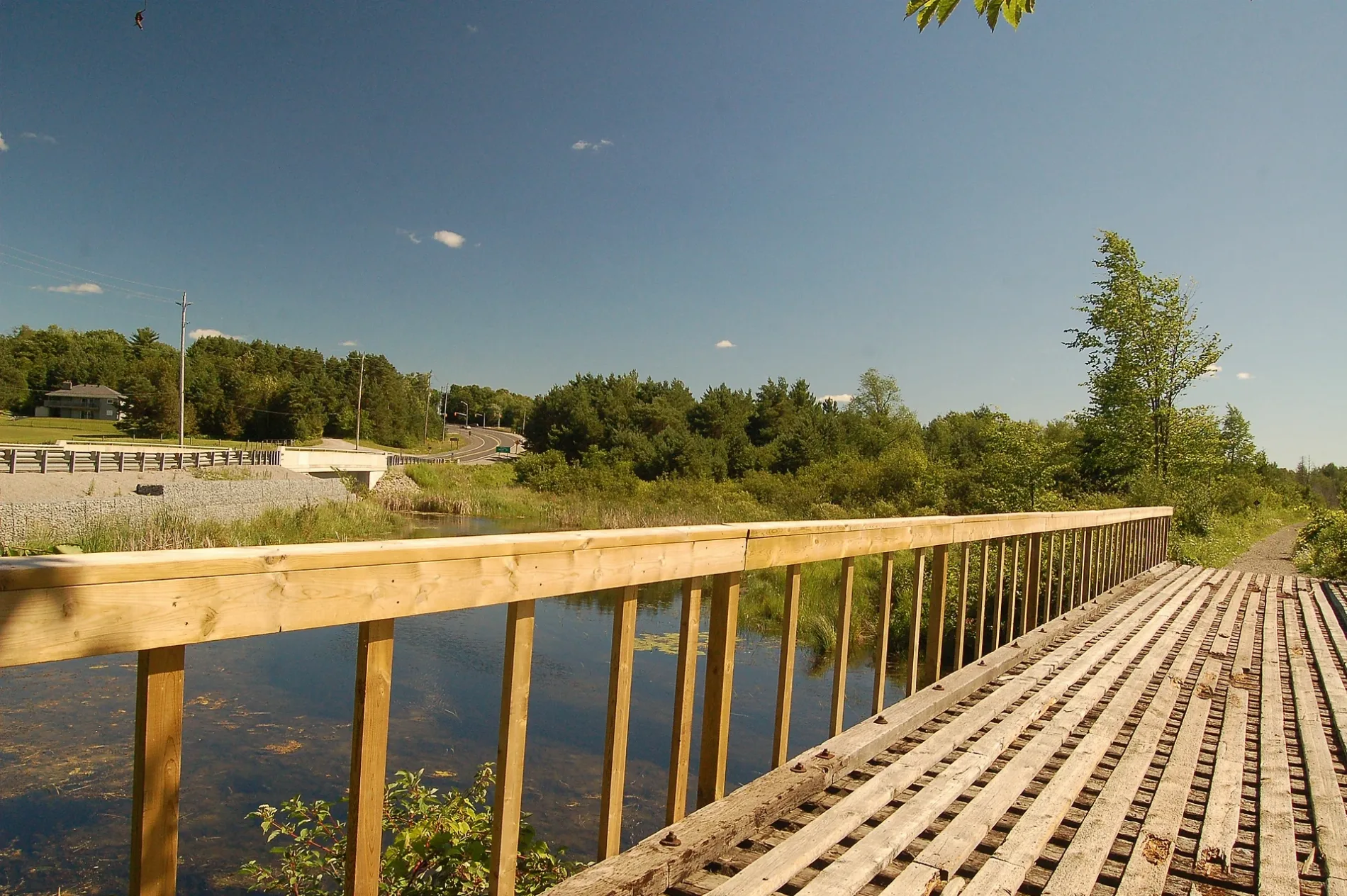
Blackwater Road in Brock, Ontario
Blackwater Road in Brock is a two-lane residential street. No sidewalks. It runs in a north-south direction starting from Brock Concession Road 4 and ends at Highway 7/12.
- Road Type
- residential street
- Lanes
- 2
- Route
- north-south
Image
Interior decorators
Library
Petrol stations
Pubs
Pharmacy
Hardware shops
Bus stops
Hairdressers
Cafés
Post offices
Social centres
Off-licences
Bank
Convenience stores
Roads nearby
Highway 7/12Highway 7/12 SB @ Blackwater, Highway 7/12 NB @ Blackwater, Highway 7/12 SB @ The Pines, Highway 7/12 NB @ The Pines
400 m
Beaver River Wetland TrailBlackwater Jct
650 m
Brock Concession Road 4750 m
Regional Road 13950 m
Brock RoadWilfred
1,1 km
The Pines Lane1,5 km
Township Concession 52,0 km
Brock Concession Road 52,1 km
Albert Street SouthTracy's Hair Design & Barber, Albert NB @ river, Masonic lodge, Brock Libraries - Sunderland Branch, Albert SB @ Rennie, Albert NB @ Rennie
2,8 km
Thompson Road2,8 km
Brecht Street3,0 km
Antioch Court3,0 km
Rennie Street3,1 km
Trans Canada Trail3,1 km
Whipple Tree Lane3,1 km
Lorne Street3,2 km
Water Street3,3 km
Jones StreetSunderland Post Office
3,3 km
Southern Court3,4 km
Pine Street3,4 km
Cedar Street3,4 km
Brock Concession Road 6Esso
3,4 km
River Street EastCIBC, Fox Fires Bar & Grill, River WB @ Albert
3,4 km
Church Street South3,4 km
James Street3,4 km
Maple Street South3,4 km
Church Street North3,4 km
River Street WestLCBO, Country Cut Hairstyling, Katie's Cafe, Sunderland Pharmacy, Home Hardware
3,4 km
Al Street3,4 km
Centre StreetCanter Coffee, Kubota
3,5 km
Doble StreetPatti's Convenience Store
3,5 km
Park Street West3,5 km
Rynard Street3,6 km
Fairgrounds Lane3,6 km
Waddell Street3,6 km
Ida Street3,6 km
Sunderland Meadows Drive3,6 km
Brock-Scugog Townline Road3,7 km
Jane Street3,7 km
Albert Street NorthSunderland
3,8 km
Buildings nearby
Sunderland - Brock Comm. Health Centre3,2 km
Durham EMS Sunderland Station3,4 km
Fire stations nearby
Brock township Fire Department Station Number 13,4 km
Petrol stations nearby
Esso3,5 km
Places of worship nearby
Grace Baptist Church3,3 km
Semi-detached houses nearby
18 Rennie St3,1 km
Social facilities nearby
Dre's Lodge3,4 km
Streams nearby
Beaver River2,0 km
Supermarkets nearby
Freshmart3,4 km
Public transport map Brock Legend
| Railway | |
| Bus | |
| Tram |
Cycling map Brock Legend
| Cycle path | |
| Cycle lane on road | |
| Cycling on bus lane | |
| Bicycle street | |
| Cyclists allowed | |
| Cyclists allowed, good surface | |
| No cycling | |
| Cobblestones |
| Long-distance cycle route | (depending on scale) | |
| Long-distance cycle route |
Walking map Brock Legend
| Path |
| Long-distance hiking trail | (depending on scale) | |
| Long-distance hiking trail | ||
| No pedestrians |