
Phillip Street in Georgina, Ontario
Phillip Street in Georgina is a two-lane, asphalted, unlit residential street. No sidewalks. It runs in a north-south direction starting from Baseline Road and ends in a cul-de-sac.
- Road Type
- residential street
- Lanes
- 2
- Route
- north-south
Image
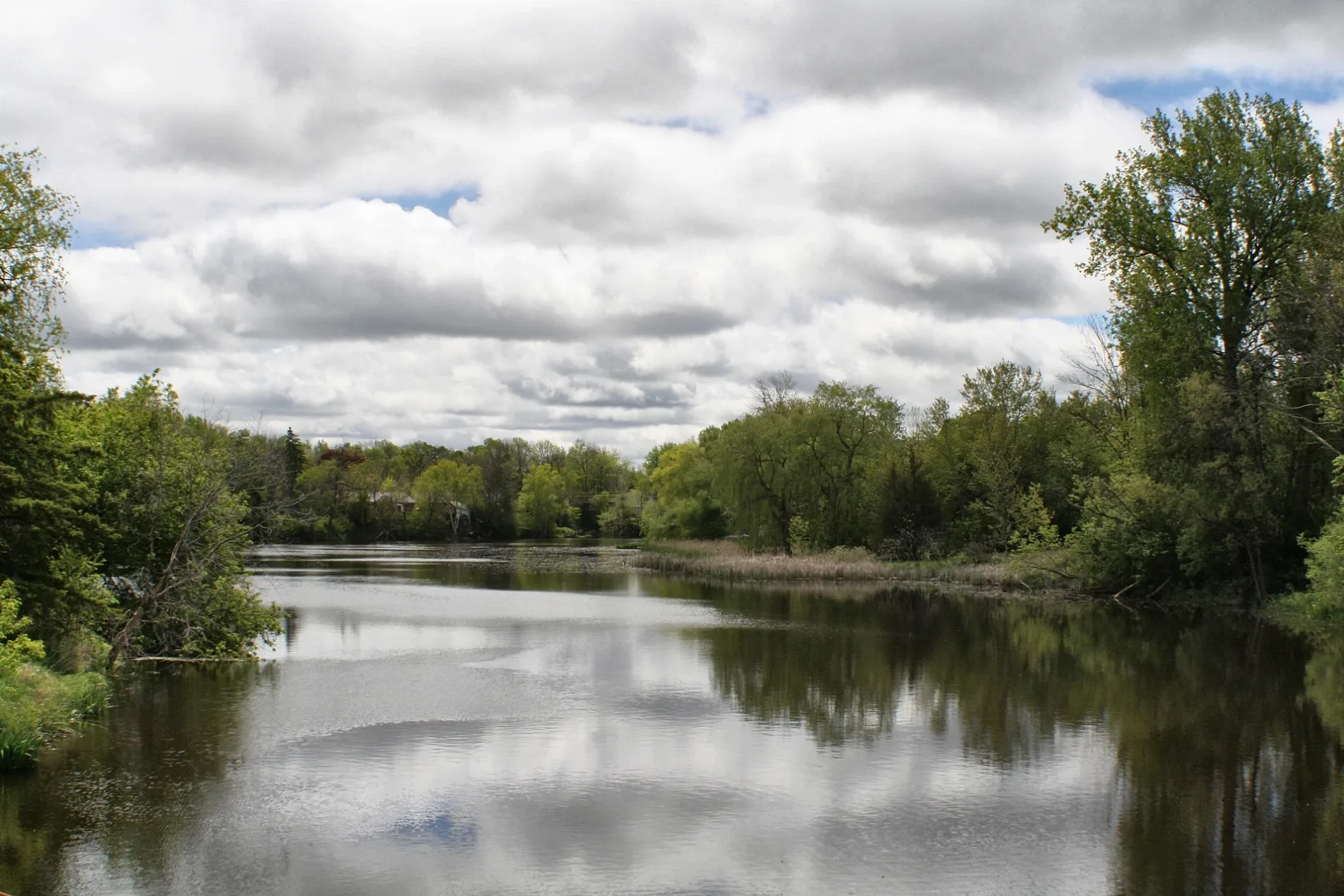
Bank
Specialist shops
Ice cream parlours
Department stores
Restaurants
Cafés
Pubs
Bus stops
Fast food restaurants
Funeral directors
Convenience stores
Roads nearby
Baseline RoadPizzaville, Georgina Trades Training Inc., Pinky's Diner
100 m
McDonough Avenue200 m
Dalton RoadJackson's Point, Sutton, Dalton Road / Black River Road, Giant Tiger, Eggsmart, Dalton Road / Stop #6458, TD Canada Trust, LCBO, Forrest and Taylor Funeral Home, Subway, Wild Wing, Pizza Pizza, Dalton Road / Roanoak Road, Dalton Road Stop #6462, Dalton Road Stop #6459, Dalton Road / Grew Boulevard, Dalton Road Stop #6483, Dalton Road / Woodriver Bend
250 m
Philip Street350 m
Rail Trail Court400 m
Fahlon Drive450 m
Middle StreetLittle Bee Mart, Elio Ristorante
550 m
Market Square CrescentPapa Luigi's Fish & Chips
550 m
High StreetScotiabank, Top Spot Pub, Jonathen's Fish and Chips, Black River Coffee, BMO, High Street / Middle Street, High Street / Snooks Road, Moolicious, High Street / Burke Street, High Street / Dalton Road
600 m
River StreetThe Mansion House Restaurant & Bar
600 m
West Street600 m
Sam Battaglia Crescent600 m
Garrett DriveMike's Bees
650 m
Big Canoe Drive650 m
River Way Drive650 m
Burke Street700 m
Swallow Lane700 m
Catering Road700 m
Ainslie Hill Crescent700 m
Bramsey Street750 m
Justin Court750 m
King Street750 m
Market Street750 m
Queen Street750 m
St James Street750 m
Hopecliff Lane750 m
Snooks Road800 m
Fairpark Lane800 m
Doctor George Burrows PkwyDalton Road / Stop #6464
850 m
Bamburg Street900 m
Fred Cooper Way900 m
Wyndham Circle950 m
John Link Avenue1000 m
Abandoned railways nearby
Sutton-Zephyr rail trail100 m
Buildings nearby
Bell Canada Sutton STTNON82RSC200 m
Forrest and Taylor Funeral Home350 m
Commercial areas nearby
Downtown Sutton450 m
Commercial buildings nearby
Sutton Masonic Temple750 m
Community centres nearby
The Link400 m
Sutton Multi-Use Complex700 m
Constructions nearby
Ainslie Hill950 m
Parks nearby
Kin Park600 m
Wyndham Park850 m
Petrol stations nearby
Ultramar300 m
Places of worship nearby
Knox United Church700 m
Post offices nearby
Canada Post550 m
Restaurants nearby
South Shore Restaurant150 m
Social facilities nearby
River Glen Haven Nursing Home300 m
Sports pitches nearby
Sutton Skate Park400 m
Public transport map Georgina Legend
| Railway | |
| Bus | |
| Tram |
Cycling map Georgina Legend
| Cycle path | |
| Cycle lane on road | |
| Cycling on bus lane | |
| Bicycle street | |
| Cyclists allowed | |
| Cyclists allowed, good surface | |
| No cycling | |
| Cobblestones |
| Long-distance cycle route | (depending on scale) | |
| Long-distance cycle route |
Walking map Georgina Legend
| Path |
| Long-distance hiking trail | (depending on scale) | |
| Long-distance hiking trail | ||
| No pedestrians |