
River Way Drive in Georgina, Ontario
River Way Drive in Georgina is a two-lane, asphalted residential street. No sidewalks. It runs in an east-west direction and ends at River Street, while the other end is a cul-de-sac.
- Road Type
- residential street
- Lanes
- 2
- Route
- east-west
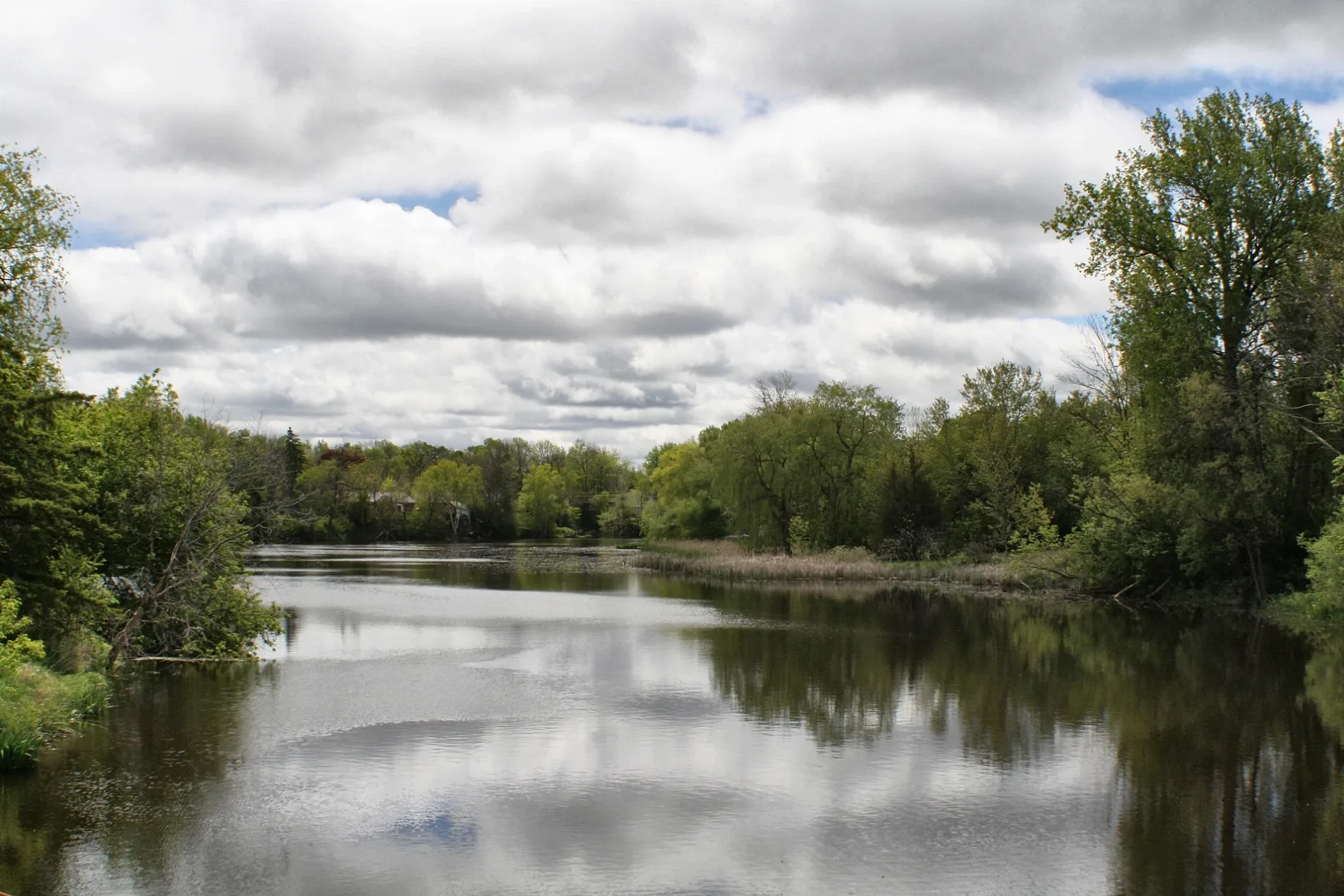
Image
Bank
Department stores
Funeral directors
Library
Restaurants
Ice cream parlours
Cafés
School
Bus stops
Fast food restaurants
Convenience stores
Roads nearby
River StreetThe Mansion House Restaurant & Bar
250 m
St James Street300 m
King Street350 m
Georgina Street400 m
Queen Street400 m
Deavitt Lanes400 m
Market Street450 m
North StreetSutton West
450 m
Market Square CrescentPapa Luigi's Fish & Chips
450 m
Black River RoadVirginia Beach Marina, Georgina Public Library - Peter Gzowski Branch, Boondocks Eatery
450 m
McDonough Avenue500 m
Southwood Crescent500 m
Doctor George Burrows PkwyDalton Road / Stop #6464
550 m
South River Road550 m
High StreetScotiabank, Top Spot Pub, Jonathen's Fish and Chips, Black River Coffee, BMO, High Street / Middle Street, High Street / Snooks Road, Moolicious, High Street / Burke Street, High Street / Dalton Road
600 m
Dalton RoadSutton, Dalton Road / Black River Road, Giant Tiger, Eggsmart, Dalton Road / Stop #6458, TD Canada Trust, LCBO, Forrest and Taylor Funeral Home, Subway, Wild Wing, Pizza Pizza, Dalton Road / Roanoak Road, Dalton Road Stop #6462, Dalton Road Stop #6459, Dalton Road / Grew Boulevard, Dalton Road Stop #6483, Dalton Road / Woodriver Bend, Jackson's Point
600 m
Baseline RoadPizzaville, Georgina Trades Training Inc., Pinky's Diner
600 m
Fairpark Lane600 m
Middle StreetLittle Bee Mart, Elio Ristorante
600 m
Prosser Crescent650 m
Phillip Street650 m
Southwood Road700 m
Scotia Road700 m
Wood River Bend750 m
Northwood Road900 m
Grew BoulevardEsso, Dalton Road / Grew Boulevard, Country Style
1000 m
Faircrest Avenue1,0 km
Golfview Crescent1,0 km
Abandoned railways nearby
Sutton-Zephyr rail trail600 m
Buildings nearby
Forrest and Taylor Funeral Home350 m
Bell Canada Sutton STTNON82RSC500 m
Cafés nearby
Tim Hortons800 m
Cemeteries nearby
Briar Hill Cemetery600 m
Briar Hill Cemetary750 m
Commercial areas nearby
Downtown Sutton500 m
Community centres nearby
The Link300 m
Sutton Multi-Use Complex650 m
Hardware shops nearby
Home Hardware650 m
Off-licences nearby
The Beer Store400 m
Petrol stations nearby
Ultramar350 m
Pharmacies nearby
Shoppers Drug Mart500 m
Places of worship nearby
Knox United Church400 m
Post offices nearby
Canada Post550 m
Restaurants nearby
South Shore Restaurant550 m
Social facilities nearby
River Glen Haven Nursing Home450 m
Sports pitches nearby
Sutton Skate Park300 m
Streams nearby
Black River550 m
Supermarkets nearby
No Frills300 m
Sobeys800 m
Public transport map Georgina Legend
| Railway | |
| Bus | |
| Tram |
Cycling map Georgina Legend
| Cycle path | |
| Cycle lane on road | |
| Cycling on bus lane | |
| Bicycle street | |
| Cyclists allowed | |
| Cyclists allowed, good surface | |
| No cycling | |
| Cobblestones |
| Long-distance cycle route | (depending on scale) | |
| Long-distance cycle route |
Walking map Georgina Legend
| Path |
| Long-distance hiking trail | (depending on scale) | |
| Long-distance hiking trail | ||
| No pedestrians |