
Heather Lane in St. Catharines
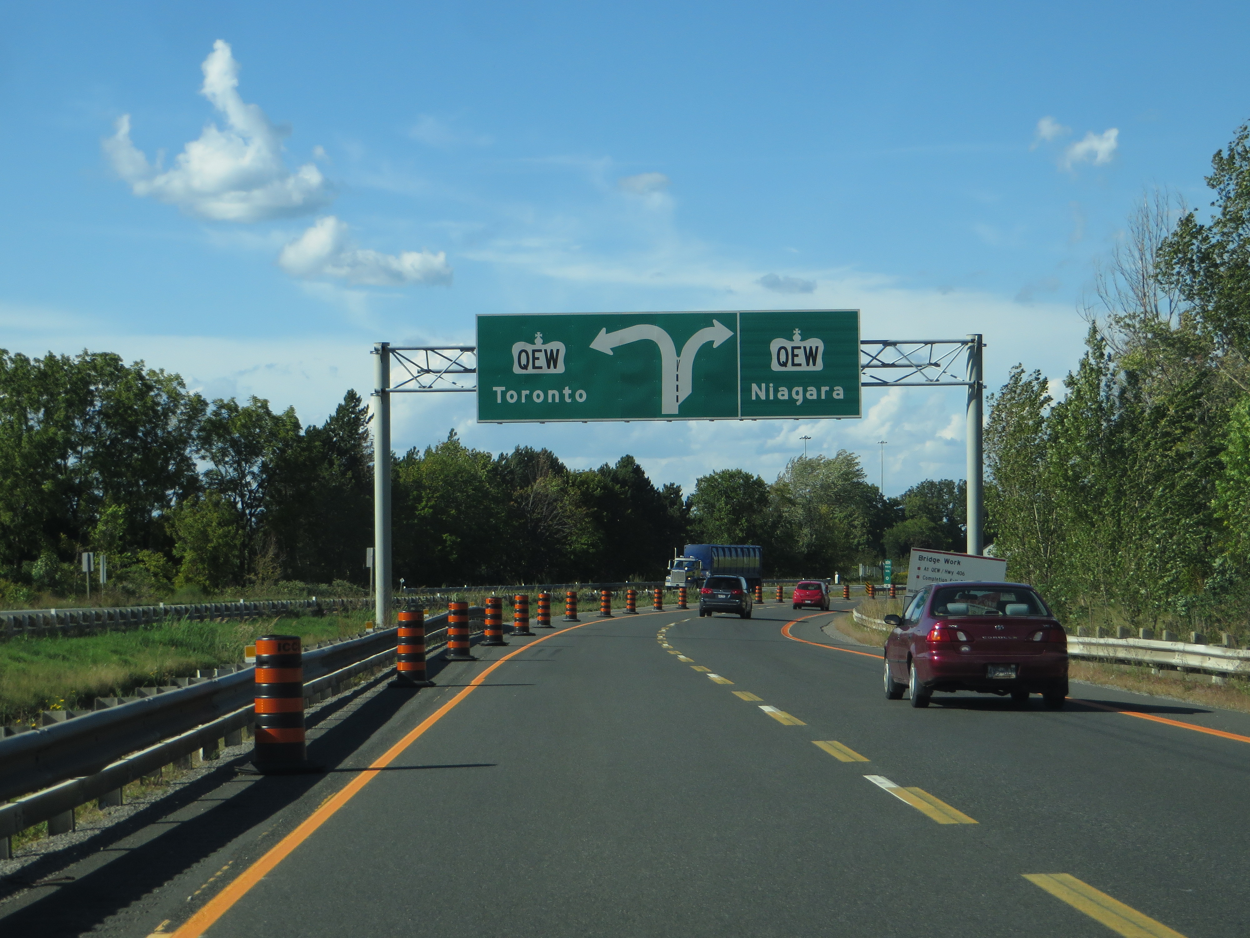
Heather Lane in St. Catharines is a two-lane, asphalted residential street. It runs in a north-south direction starting from Arbour Glen Drive and ends at Maracay Way. Heather Lane also exists in Central Ontario.
- Road Type
- residential street
- Lanes
- 2
- Route
- north-south
Image
Convenience stores
Cafés
Furniture shops
Petrol stations
Restaurants
Pharmacy
Nutrition supplements shops
Water shops
Fast food restaurants
Bank
Dentist
Photography shops
Roads nearby
Arbour Glen Drive150 m
Francis Creek Boulevard150 m
Maracay Way150 m
Brucehill Court200 m
Erion RoadMartindale Convenience
250 m
Harvest Grove Crescent250 m
Countryside Drive250 m
Huntington Lane300 m
Nadine Crescent350 m
Heritage Court350 m
Woodbridge Drive350 m
Chessington Street400 m
Hannover Drive400 m
Captain Tenbrock Terrace400 m
Stoney Brook Crescent400 m
Dunbar Crescent400 m
Breckenridge Boulevard450 m
Harvest Oak Drive450 m
First Street LouthFourth Avenue Cardiac Clinic, St. Catharines Dental Centre, Aegis MD, Sound Hearing Care, Fabio Pizza, Union Jack, Urban Cravings, Edible Options, Mr. Sub, Thaï Express, Sunset Grill
450 m
Endicott Drive450 m
Afton Court550 m
Highway 406Sherwin-Williams, Liv Nail Lounge, Malia Hair Salon
550 m
12 Mile Creek Trail550 m
Sutton Court550 m
Sarah Court600 m
Willow Bank Common650 m
Black Walnut Common650 m
Third Street Louth750 m
South Service Road750 m
Third Avenue Louth750 m
Tulip Tree Common750 m
Tuscany Court750 m
Corporate Park Drive800 m
Wilholme Drive800 m
Wilholme Avenue850 m
2nd Avenue850 m
President Court900 m
Brooklyn Court1,0 km
Queen Elizabeth WaySt. Catharines Welcome Sign, The Car Doctor
1,1 km
Martindale RoadDollarama, Domino's, Starbucks, Mountainview Dental Care, Bamboo Natural Food Market, RBC, Avondale Food Store, The Upper Deck
1,1 km
Commercial areas nearby
Henley Corporate Centre750 m
Commercial buildings nearby
250850 m
Fire stations nearby
Fire Station Number 5750 m
Grass nearby
Westport Golf Practice & Training Facility1,0 km
Office buildings nearby
Meridian900 m
Places of worship nearby
Harbour Fellowship Church650 m
Jubilee Fellowship Christian Reformed Church800 m
Retail areas nearby
Huntington Square550 m
Sands nearby
bunker for practise1,1 km
Public transport map St. Catharines Legend
| Railway | |
| Bus | |
| Tram |
Cycling map St. Catharines Legend
| Cycle path | |
| Cycle lane on road | |
| Cycling on bus lane | |
| Bicycle street | |
| Cyclists allowed | |
| Cyclists allowed, good surface | |
| No cycling | |
| Cobblestones |
| Long-distance cycle route | (depending on scale) | |
| Long-distance cycle route |
Walking map St. Catharines Legend
| Path |
| Long-distance hiking trail | (depending on scale) | |
| Long-distance hiking trail | ||
| No pedestrians |