
Mattawa River in Papineau-Cameron
Mattawa River in Papineau-Cameron Township is a river. Mattawa River also exists in Bonfield Township, Calvin and Mattawa. Ⓦ.
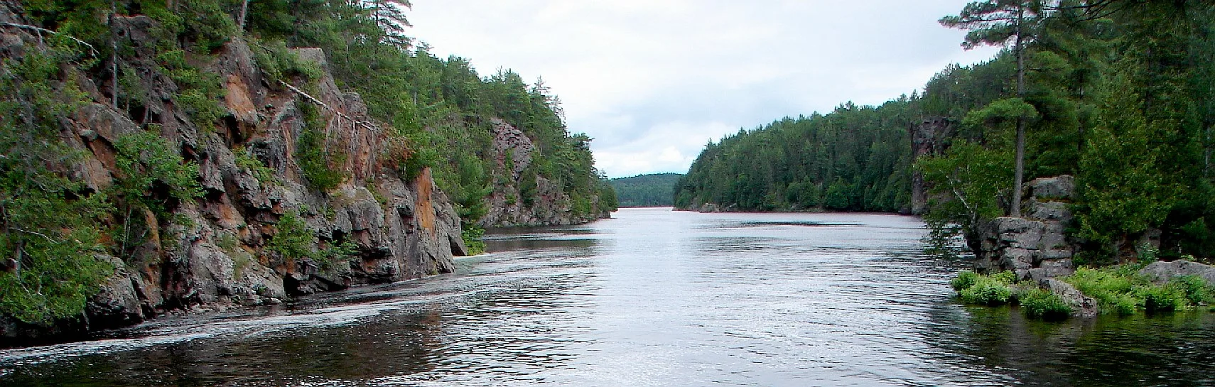
- Waterway Type
- river
Roads nearby
Wood's Point Road1,3 km
Chant Plein Lake Road1,5 km
Pine Road1,6 km
Neault Road1,9 km
Old Highway 172,2 km
Poplar Road2,7 km
Earl's Lake Road3,1 km
Moosehead Road3,2 km
(Old alignment to hwy 17)3,2 km
Taggart Lake Road3,6 km
Nature-History LoopThe Gut
3,7 km
Richards Road3,8 km
Montreuil Road4,2 km
Chenier Road4,2 km
Nature Loop4,2 km
Moores Lane4,4 km
Boundary Road4,4 km
Highway 17Mattawa River Resort
4,5 km
History Loop4,6 km
West Street4,7 km
Mill Street4,7 km
Decaire Road4,7 km
Spring Street4,7 km
Flamingo Road4,7 km
Beaudry Road4,8 km
Geology Loop4,8 km
Twelfth Street4,8 km
Louis Street4,8 km
Lake Street4,9 km
John StreetMr Gas, Tim Hortons
4,9 km
Eleventh Street4,9 km
James Street4,9 km
Tenth Street5,0 km
Lily Street5,0 km
Jodouin Road5,2 km
Nature-Geology Loop5,3 km
Antoinette Drive5,3 km
Body of waters nearby
Duck Lake2,2 km
Earl's Lake2,5 km
Taggart Lake3,1 km
East Montreuil Lake4,2 km
Cemeteries nearby
Pinehill Cemetery4,8 km
Dams nearby
Hurdman Dam2,8 km
Grasslands nearby
Island1,3 km
Motel nearby
Two Rivers Motel4,3 km
Railway lines nearby
North Bay Subdivision4,3 km
Social facilities nearby
Algonquin Nursing Home5,0 km
Streams nearby
Boom Creek4,9 km
Other nearby
Mattawa Airport3,2 km
| Length | 52 |
|---|---|
| Located in | Nipissing District |
| Country | Canada |
| Origin | Trout Lake |
| Mouth | Ottawa River |
| Tributary | Kaibuskong River, Amable du Fond River |
Public transport map Papineau-Cameron Township Legend
| Railway | |
| Bus | |
| Tram |
Cycling map Papineau-Cameron Township Legend
| Cycle path | |
| Cycle lane on road | |
| Cycling on bus lane | |
| Bicycle street | |
| Cyclists allowed | |
| Cyclists allowed, good surface | |
| No cycling | |
| Cobblestones |
| Long-distance cycle route | (depending on scale) | |
| Long-distance cycle route |
Walking map Papineau-Cameron Township Legend
| Path |
| Long-distance hiking trail | (depending on scale) | |
| Long-distance hiking trail | ||
| No pedestrians |