
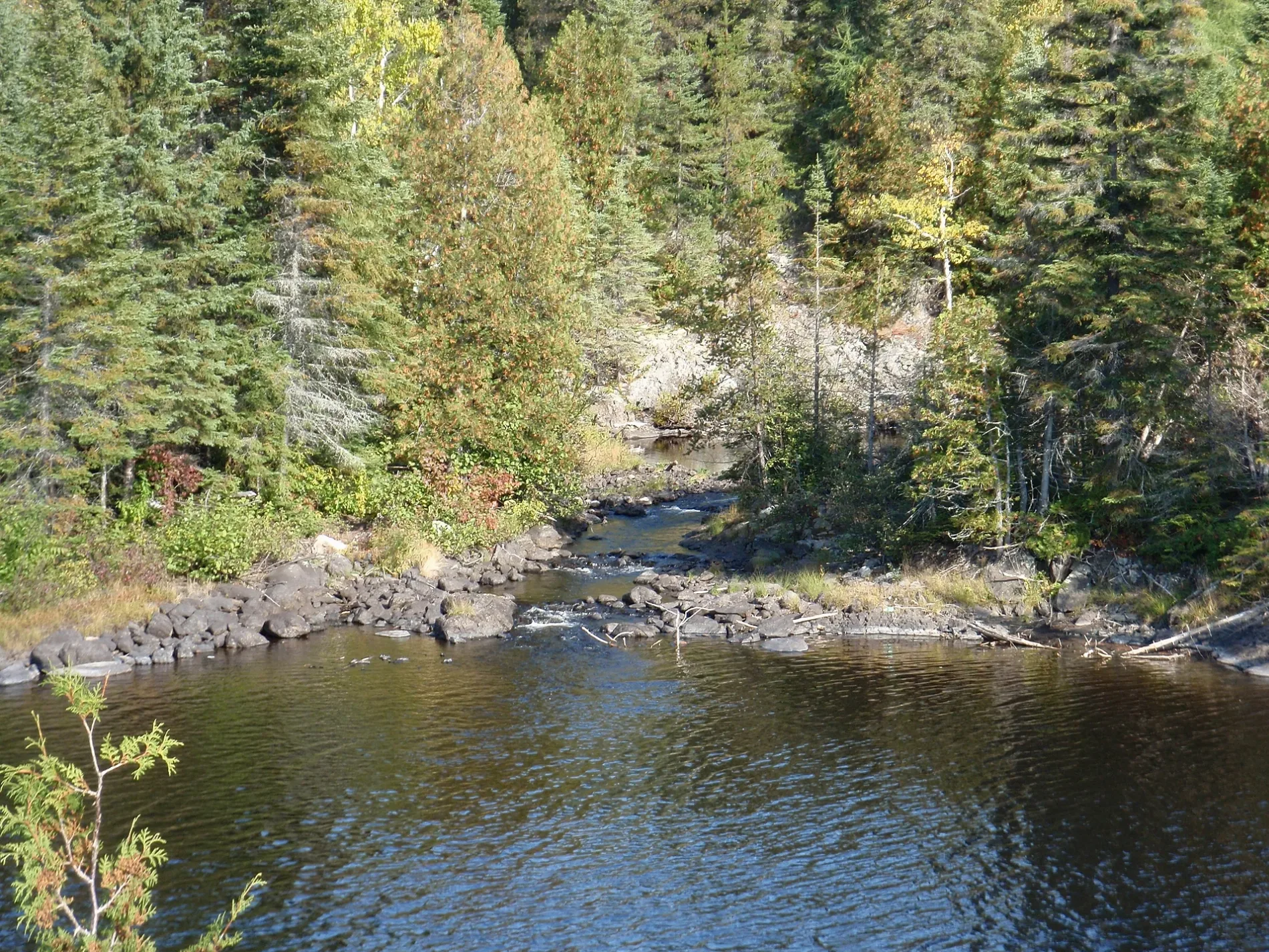
Misema River in Unorganized West Timiskaming District
Misema River in Unorganized West Timiskaming is a river. Misema River also exists in Gauthier Township. Ⓦ.
- Waterway Type
- river
Image
Fire station
Social facility
Off-licences
Attraction
Petrol stations
Campsite
Viewpoint
Motel
Pet groomings
Parking
Chalet
Body of waters nearby
Little Long Lake1,6 km
Benson Lake8,0 km
Railway lines nearby
Mindoka Siding8,9 km
Ramore Subdivision9,1 km
Rivers nearby
Benson Creek7,8 km
| Length | 57 |
|---|---|
| Located in | Timiskaming District, Cochrane District |
| Country | Canada |
| Origin | Misema Lake |
| Mouth | Blanche River |
 Public transport map Unorganized West Timiskaming Legend
| Railway | |
| Bus | |
| Tram |
 Cycling map Unorganized West Timiskaming Legend
| Cycle path | |
| Cycle lane on road | |
| Cycling on bus lane | |
| Bicycle street | |
| Cyclists allowed | |
| Cyclists allowed, good surface | |
| No cycling | |
| Cobblestones |
| Long-distance cycle route | (depending on scale) | |
| Long-distance cycle route |
 Walking map Unorganized West Timiskaming Legend
| Path |
| Long-distance hiking trail | (depending on scale) | |
| Long-distance hiking trail | ||
| No pedestrians |