
Brampton
Brampton is located in Peel Region. Around 593,638 people live here. Between 2011 and 2021, the population grew from 523,911 to 656,480. The region lies at 218 metres above sea level. Its area extends over around 266.7 square kilometres. Brampton has around 16.140 streets. The region was founded in the year 1853. Brampton is city in Ontario, Canada. Among other things, Brampton has public transport, hotels, restaurants, cafés, supermarkets, clothing stores, attractions, museums, schools, banks, hairdressers, dentists, doctors and pharmacies. For more information, see www.brampton.ca.
Brampton – Facts
| Inhabitants | 656480 |
|---|---|
| Area | 266.7 km² |
| Inception | 1853 |
| Elevation | 218 m |
| Located in | Regional Municipality of Peel |
| Country | Canada |
| Official name | City of Brampton |
| Website | https://www.brampton.ca/ |
Data source: Wikidata (CC0)
Photos from Brampton
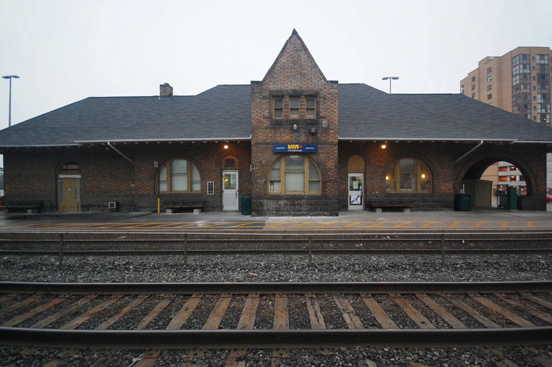
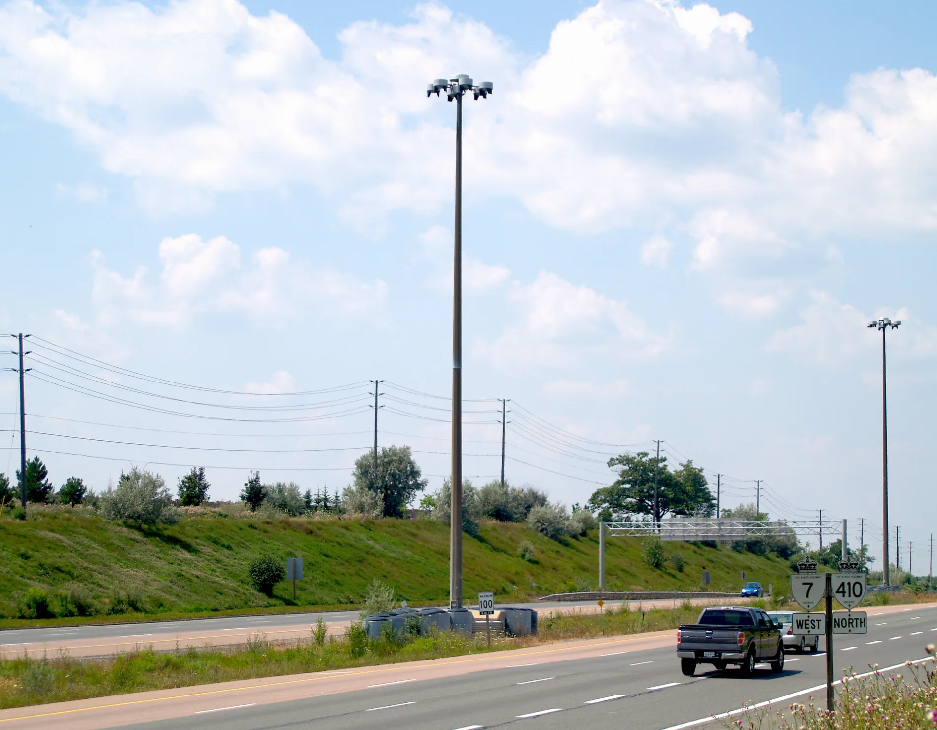
Brampton
This page is the City map of Brampton, Ontario, Canada, showing the region’s streets, paths and places. Brampton is a city in Peel Region with an area of approximately 266.7 square kilometres and an elevation of about 218 metres above sea level. The city was founded in 1853, and its population increased from 523,911 in 2011 to 656,480 in 2021; the supplied regional data also records around 593,638 residents. Brampton forms part of the Greater Toronto Area and lies northwest of Toronto in southern Ontario.
Data sources: OpenStreetMap (ODbL), Wikidata (CC0)
Roads in Brampton
Roads
Buildings
Pet shops
Places of worship
Playgrounds
Retail buildings
Social facilities
Sports pitches
| Railway | |
| Bus | |
| Tram |
| Cycle path | |
| Cycle lane on road | |
| Cycling on bus lane | |
| Bicycle street | |
| Cyclists allowed | |
| Cyclists allowed, good surface | |
| No cycling | |
| Cobblestones |
| Long-distance cycle route | (depending on scale) | |
| Long-distance cycle route |
| Path |
| Long-distance hiking trail | (depending on scale) | |
| Long-distance hiking trail | ||
| No pedestrians |